Napoleonic Wars (1803-15)
Views of naval engagements and maps of battles
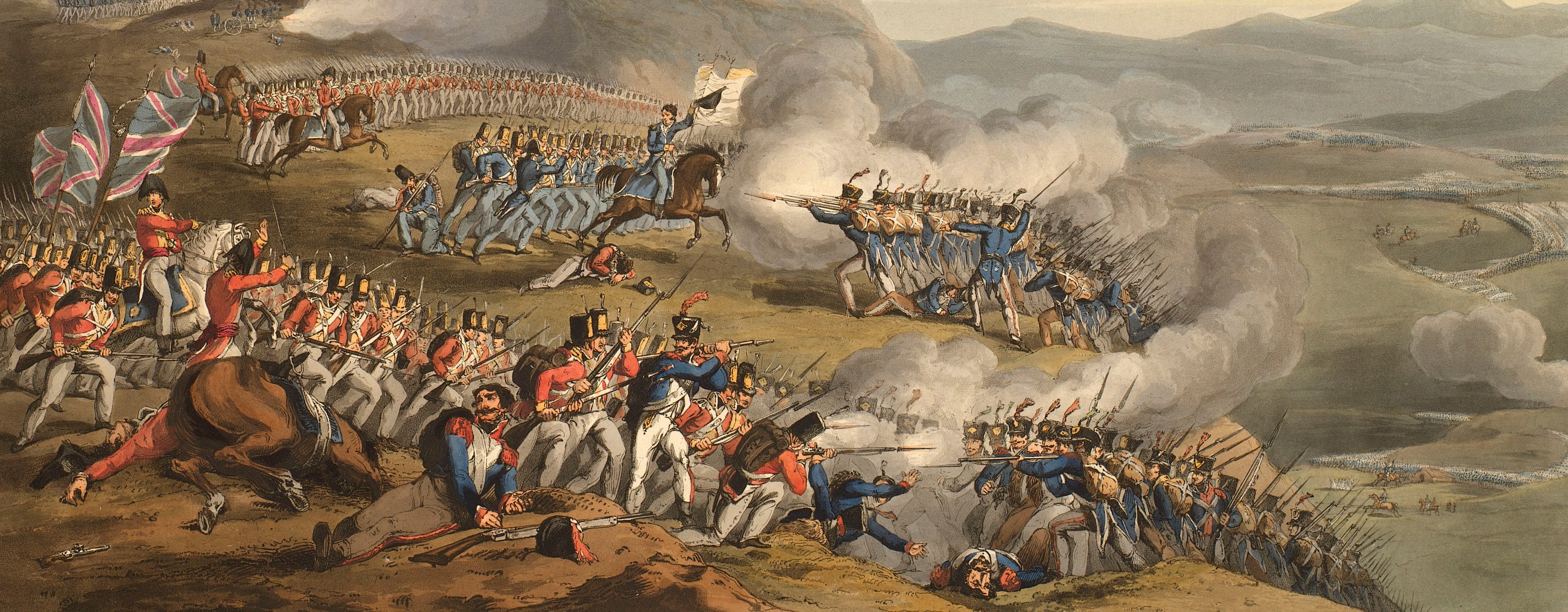
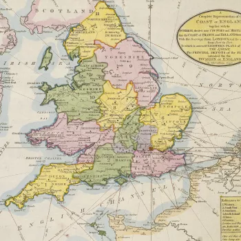
The peace purchased by the Treaty of Amiens (1802), which brought the French Revolutionary Wars to a close, lasted only a year. Hostilities resumed in May 1803 when Britain imposed a naval blockade of the continent and Napoleon planned to invade England. Thereafter, five different coalitions, involving 20 states, fought against Napoleon from 1805 until he was finally defeated in 1815 at the Battle of Waterloo. The Peninsular War (1808–14), which was a major part of the overall conflict, was fought between Bourbon Spain, Portugal and Great Britain against the invading and occupying forces of France and resulted in an Allied victory.
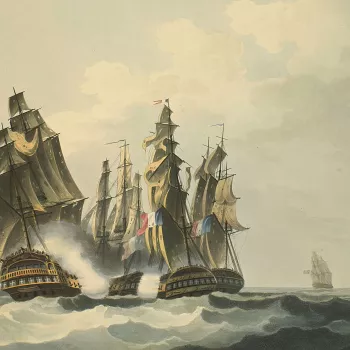
George III was approaching his declining years during the Napoleonic Wars. At the beginning of this period he still took an active interest in the development of the conflict in its various theatres of operation. The majority of the items acquired during these years are views of naval engagements or of the battles and marches of the Peninsular War. Many of them are hand-coloured aquatints and make a bright contrast with the predominantly black and white images of the eighteenth century. The maps of the Peninsular War are mainly copperplate productions by William Faden (1749–1836), Geographer to George III. The new technique of drawing on stone and printing by lithography was first used for maps by the Quartermaster General’s Department in 1808, and, although the first lithographed maps were of the Peninsular War, and appear to have been acquired during George III’s reign, they were not formally assimilated into the collection of military plans and do not appear in this catalogue.


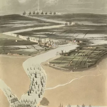
![Norderney, 1811 (Norderney [island], Lower Saxony, Germany) 53?42'55"N 07?14'25"E Norderney, 1811 (Norderney [island], Lower Saxony, Germany) 53?42'55"N 07?14'25"E](https://cmsadmin.rct.uk/sites/default/files/styles/rctr_scale_crop_350_350/public/735167%20crop.jpg.webp?itok=t-pId6Aq)
