American War of Independence (1775-83)
George III’s maps and views showing the war from North America to India

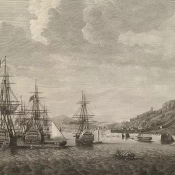
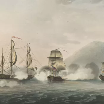
The American War of Independence was fought between Great Britain and her 13 colonies following irreconcilable political and constitutional differences. Fighting on the side of Great Britain were Quebec, American Loyalists, Hanover and six German states. The colonies, who declared independence in 1776, were supported by France, Spain, the Dutch Republic and Mysore. Native American Indians fought for both sides. The territory covered by the conflict included eastern North America, Africa, the Caribbean, the Atlantic, Indian Ocean and the Indian subcontinent. The war ended with the Treaty of Paris in 1783 (ratified in 1784) which recognised the independence of the United States of America.
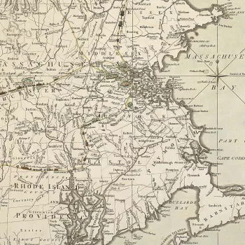
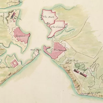
While many of George III’s important maps and other material of the War of American Independence are in the King’s Topographical Collection in the British Library, a number of significant items were retained in the King’s Military Collection. The King took a deep interest in the topography of war, and the material in this section includes large-scale manuscript mapping of the American theatre by British and Hessian cartographers. Among these were John Montresor (1736–99), Chief Engineer in North America, and Charles de Gironcourt (1756–1811), Deputy Quartermaster General in the Hessian army. There are also items by the French-born mapmaker, Claude Joseph Sauthier (1736–1802), who first assisted Governor Tryon of North Carolina and New York and then became private secretary to Hugh Percy, 2nd Duke of Northumberland (1742–1817). The printed material ranges from the earliest map of the Battle of Bunker Hill (1775) to one of just a dozen known examples of a rare American-printed map of the final British defeat at Yorktown in 1781.
This section is also rich in the cartographic and pictorial depictions of the many encampments of the army in southern Britain at this time, both manuscript and printed. George III and Queen Charlotte attended some of these encampments, which lasted for several weeks and were a focus of social activity in the region, often recorded in contemporary views. Among these is the large watercolour by Thomas Sandby of the encampment at Warley Common in 1778, attended by George III who stayed in Lord Petrie’s house which appears in the background of the view.


