Franco-Spanish War (1635-59)
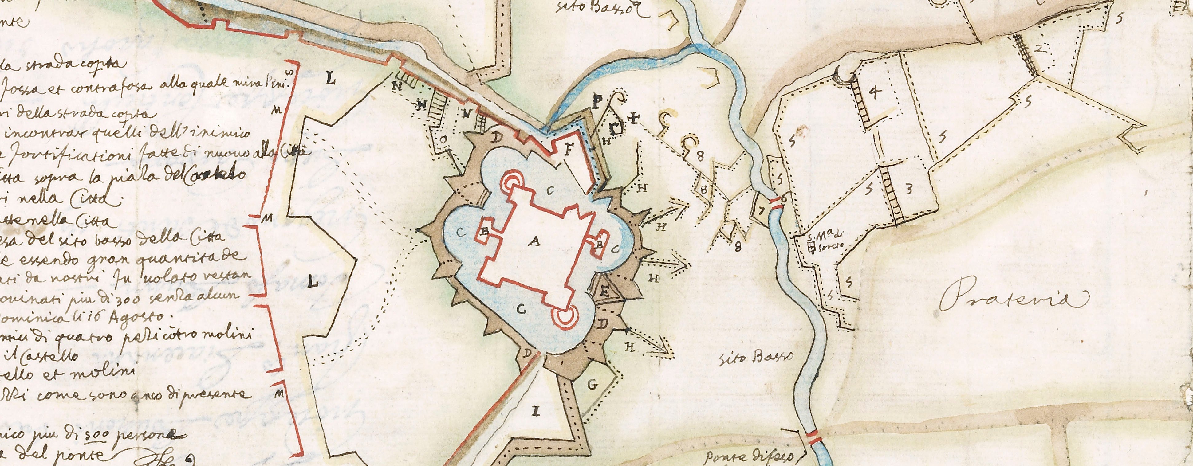
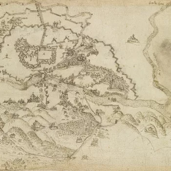
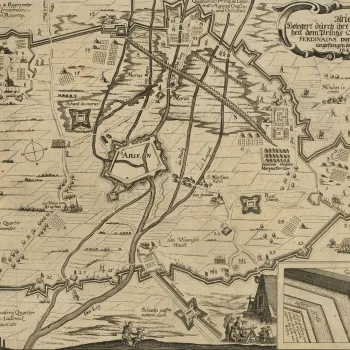
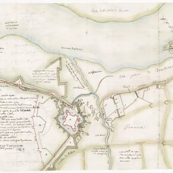
Contemporary maps and prints of the major battles and sieges from 1635 to 1658

The principal opponents in this war were Spain (with the Duchy of Modena) and France (with three Italian duchies, the Commonwealth of England, the Dutch Republic and the Principality of Catalonia). The French objective was to deprive the Spanish of Habsburg territories. The war ended inconclusively in 1659 with the Treaty of the Pyrenees.
The large majority of the maps and views covering this war were acquired, in the first instance, by the Italian collector, Cassiano dal Pozzo (1588–1657) and his brother, Carlo Antonio dal Pozzo (1606-89). After Carlo Antonio’s death in 1689, the collection was eventually sold by his grandson to Pope Clement XI (reg. 1700–21) in 1703. In 1714, it passed to the Pope’s nephew, Cardinal Alessandro Albani (1692–1779), from whom it was purchased in 1762 by George III.
These prints formed part of the celebrated ‘Paper Museum’ which was built up by the dal Pozzos from purchases made from the flourishing printmaking industry, primarily in Italy, but also in France, the Netherlands and Germany. Many of the items are rare or are early impressions from the copperplates. They document the conflicts of the day and, in the seventeenth century, were often accompanied by letterpress text giving up to date information about, for example, the progress of a siege.
The dal Pozzos took care to arrange and present their prints and drawings in logical subject divisions such as costumes, architecture, portraits, natural history and military conflicts. The items were mounted on paper, sometimes with ink framing lines drawn around the print (mount type A) and sometimes without (mount type B). These two types of paper mount can be seen on the prints of the military engagements in this section.
Cassiano had begun collecting items for his Paper Museum almost ten years before this war broke out. The maps and prints of this conflict would therefore have been acquired contemporaneously with the event or shortly afterwards and represent the then current graphic depiction of conflict, together with sheets of letterpress giving written accounts of the engagements.
See also 722039.n, part of a volume within the 'Thirty Years War' section.


