Search "" as a keyword...
Filter suggestionsContinue typing to see suggestions...
COLLECTION STORY

Miscellaneous

Maps, views and diagrams of military reviews and encampments

The majority of the items in this section are orders of battle, plans and diagrams of military encampments, reviews and manoeuvres. Among them are a fine set of maps made by George III’s Hanoverian engineers, Georg Josua (1722–95) and Anton Heinrich (1738–91) du Plat, and maps made by George III’s seventh son, Adolphus Frederick, Duke of Cambridge (1774–1850), while he was undergoing military training in Hanover.

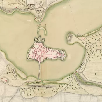
Map of Ratzeburg, 1693 (Ratzeburg, Schleswig Holstein, Germany) 53?42'00"N 10?46'01"E
1557-1728

From Italy, to Java, Brazil, France and Germany

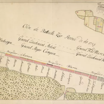
An order of battle of the Hanoverian army, commanded by Baron Bülow in 1729 at Hanover.
The site of this review was on the heathlands to the east of Hanover, in the area of the Eilenriede forests, in the vicinity of the Pferdeturm, a medieval tower.
1729-32

Army manoeuvres in Hanover and Saxony

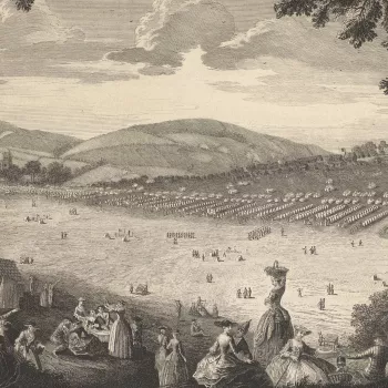
View of encampment at Newport, Isle of Wight, 1740 (Newport, Isle of Wight, UK) 50?42'05"N 01?17'28"W
1738-53

Saxony, the UK and France

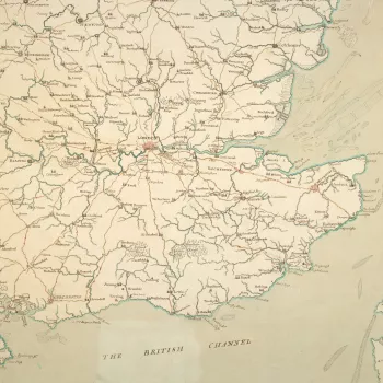
Map of England, South East, 1755
1754-82

Encampments in England, Dublin and the Netherlands

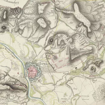
Item: Map of encampment near Hameln, 1783 (Hameln, Lower Saxony, Germany) 52?06'14"N 09?21'22"E
1783-97

Encampments in Hanover and Germany