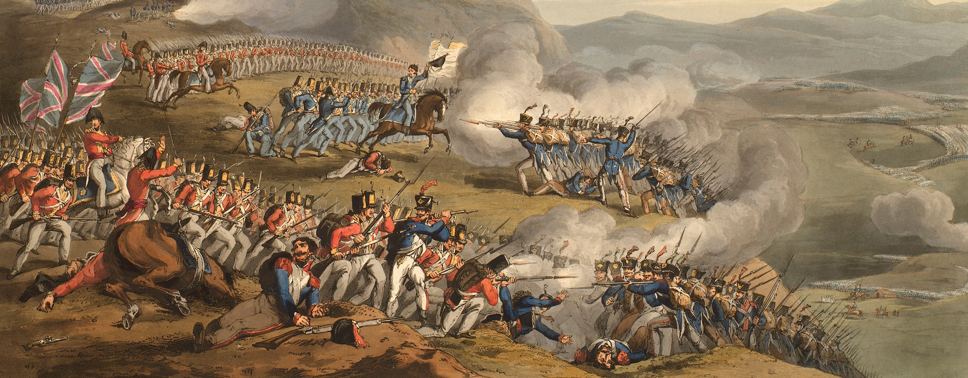
Views of naval engagements and maps of battles
Battle of Heilsberg, 1807 (Lidzbark Warmiński, Warmian-Masurian Voivodship, Poland) 54°07'33"N 20°34'46"E
1807 or laterEngraving and etching; printed on paper; hand coloured | Scale: (at RCIN 735135.b) 1:15,700 approx. | RCIN 735135.a
Condition: one fold line. Verso: induced discolouration.
[?] von Both (active 1807) (cartographer and publisher) [top left, below title at RCIN 735135.b:] Aufgenommen und gezeichnet / durch / den Königl. Preuss. Major / von Both / herausgegeben auf Kosten / des Verfassers.
Johann Carl Richter (1759-1832) (engraver) [bottom right, below edge of border at RCIN 735135.b:] Gestochen von J.C. Richter
S Schropp & Co (publisher) [bottom centre at RCIN 735135.b:] In Commission bei Simon Schropp & Comp in Berlin.
Subject(s)
Army-RussiaArmy-FranceWatermark: None
Condition: one fold line. Verso: induced discolouration
Scale: (at RCIN 735135.b) 1:15,700 approx. Scale bar: Maasstab von 3000 Schritt [152 mm =].
44.1 x 56.1 cm (neatline)
47.4 x 58.2 cm (image)
50.3 x 62.8 cm (platemark)
52.2 x 66.4 cm (sheet)
Printed title:
None
Annotations:
George III heading: Battle of Heilsberg 10 June 1807.
Other annotations: none.
George III catalogue entry:
Heilsberg Plan de la Bataille de Heilsberg entre les Russes et les Francois donnée le 10 Juin 1807: par le Major de Both, en 2 feuilles, avec un Relation de la Bataille: chez Schropp et Comp. 4.to
Subject(s)
Lidzbark Warmiński, Warmian-Masurian Voivodship, Poland (54°07'33"N 20°34'46"E)
Page revisions
6 June 2024
Current version


