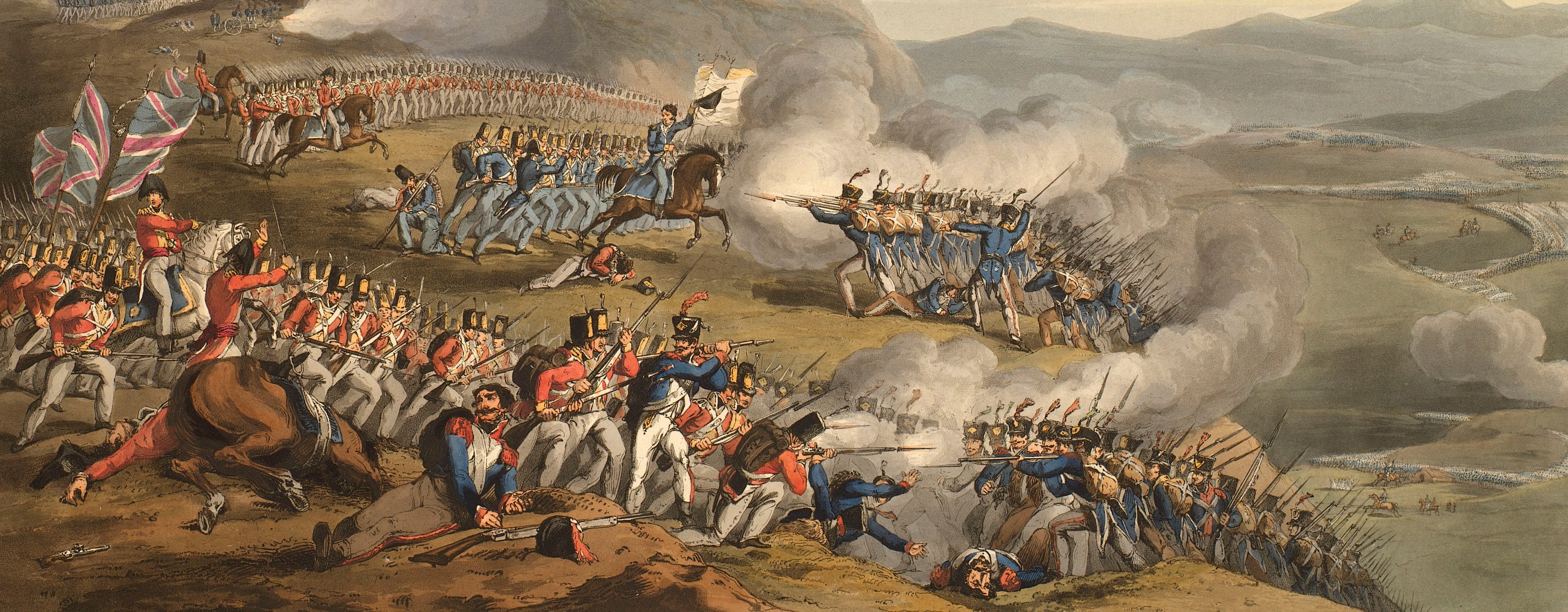
Napoleonic Wars (1803-15)
Views of naval engagements and maps of battles
Cadiz and the Battle of Barrosa, 1811
Map of the / COUNTRY round CADIZ / comprehending / S,t Lucar de Barrameda, Xerez, Medina, Conil, Chiclana &c, / from the / Spanish Map of Jose Cardona
published 20 May 1811Etching and engraving; printed on paper; hand coloured | Scale: 1:123,795 approx. | RCIN 735159
A map of the country around Cadiz with a sketch of the Battle of Barrosa, 5 March 1811. Napoleonic Wars (1803-15): Peninsular War (1808-14). Oriented with north-east to top (cardinal points).
The Battle of Barrosa, to the south-east of Cadiz, was won by an Anglo-Portuguese-Spanish force who defeated the French. Ensign Harriet's map of the action on the Hill of Barrosa was lithographed and printed soon afterwards at the Quarter Master General's Department, Horse Guards, London, and used by Faden in the compilation of his map of the battle which appears in the inset on this map. [A copy of the lithographed map is at RCIN 712619 but does not form part of the original K.Mil. Collection.]
The National Archives copy at WO 78/5897, carries the statement that it was engraved by Thomson, Bury Street, Bloomsbury, London, but this information does not appear on the K.Mil. example.
William Faden (1 July 1749-21 March 1836) (publisher) [bottom right, below title:] Republished by W. Faden Geographer to His Majesty and to His Royal Highness / the Prince Regent, Charing Cross May 20,th 1811
Jose Cardona (active 1811) (cartographer)
Thomas Harriott (d. 1823) (cartographer)
Watermark: G JONES 1808
Condition: one fold line; small tear to bottom left edge and to left edge
Scale: 1:123,795 approx. Scale bar: Scale of British Statute Miles [65 mm =] 5.
32.1 x 50.8 cm (neatline)
3.1 x 51.9 cm (image)
35.2 x 53.5 cm (platemark)
40.8 x 54.9 cm (sheet)
Printed title:
Map of the / COUNTRY round CADIZ / comprehending / S,t Lucar de Barrameda, Xerez, Medina, Conil, Chiclana &c, / from the / Spanish Map of Jose Cardona. [bottom right]
Inset:
[top left, on a trompe l'oeil scroll:] Sketch / of the ACTION near the / HILL of BARROSA / on the 5.th of March 1811 / DRAWN ON THE SPOT / by / Ensign Harriet R.l Staff Corps / Published with Permission / of the / QUARTER MASTER GENERAL.
Scale: 1:34,289 approx. Scale of Yards [40 mm =] 1500.
Size: 13.5 x 21.0 cm (image).Annotations:
George III heading: Cadiz /Battle of Barrosa 5 March 1811.
Other annotations: (Recto) XV.159 [‘-b’ added in a later hand]. (Verso) none.
George III catalogue entry:
Cadiz Map of the Country round Cadiz from the Spanish Map of Jose Cardona, with a Sketch of the Action near the Hill of Barrosa on the 5.th of March 1811; by Ensign Harriet: published by Faden, 1811. [The same entry appears under the heading Barrosa.]
Subject(s)
Cadiz, Andalusia, Spain (36°32'01"N 06°17'58"W)
Chiclana de la Frontera, Andalusia, Spain (36°25'08"N 06°08'57"W)
Page revisions
14 March 2024
Current version
Corrected main title - incorrectly given wrong details


