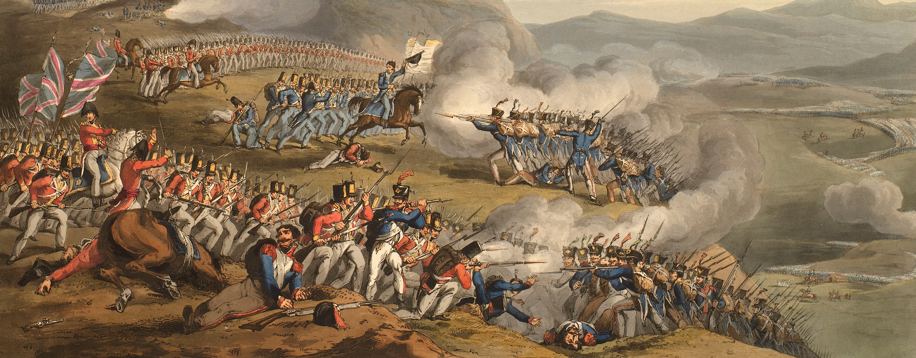
Views of naval engagements and maps of battles
Map of the Battle of Arroyo Molinos, 1811 (Arroyo Molinos, Andalusia, Spain) 37°44'13"N 03°01'44"W
published 1 Jan 1812Etching and engraving; printed on paper; hand coloured | Scale: 1:42,351. | RCIN 735169
The detail of this map, and the profile sketch of the Sierra above the sketch map, are taken from a lithographed map of the action which was printed at the Quarter Master General's Department on 3 December 1811. A copy of the QMG's map is at RCIN 712622, but is not part of the original K.Mil. collection.
Additional text: [bottom right, below title, a key, A, B to the positions of the troops; followed by the note:] In this Brilliant affair the Enemy lost in killed / Wounded and Prisoners about 1800 Men / while that of the Allies falls short of 100 men.
For further reading, see:
G.L. Teffeteller, 'Hill, Rowland, first Viscount Hill (1772–1842)', Dictionary of National Biography, 2004; online edition 2011.
Condition: no fold lines. Verso: some offsetting from same image, perhaps when a pile of newly-printed maps was stacked together.
William Faden (1 July 1749-21 March 1836) (publisher) [bottom right, below title and text:] Published by W. Faden, Geographer to the / King, and to his Royal Highness the Prince / of Wales, Charing Cross January 1.st 1812.
Subject(s)
Army-GBArmy-SpainArmy-German ConfederationArmy-FranceWatermark: None
Condition: no fold lines. Verso: some offsetting from same image, perhaps when a pile of newly-printed maps was stacked together
Scale: 1:42,351. Scale bar: [38 mm =] 1 Mile.
30.9 x 23.6 cm (neatline)
31.2 x 23.9 cm (image)
33.1 x 25.7 cm (platemark)
36.9 x 28.6 cm (sheet)
Printed title:
Sketch / of the / DISPOSITION of the ALLIES, / under the Command of / LIEU.T GEN.L HILL, / to surprize the Enemy / in ARROYO MOLINOS on / the morning of 28.th Oct.r / 1811. / with PERMISSION of the / QUARTER MASTER GENERAL. [bottom right]
Additional text:
[bottom right, below title, a key, A, B to the positions of the troops; followed by the note:] In this Brilliant affair the Enemy lost in killed / Wounded and Prisoners about 1800 Men / while that of the Allies falls short of 100 men.
Annotations:
George III heading: Arroyo Molinos 28 Oct.1811.
Other annotations: (Recto) [bottom right, the ‘a’ in ‘Sir W. Earskine’ has been struck through in black ink.]. (Verso) none.
George III catalogue entry:
Arroyo Molinos Sketch of the Disposition of the Allies, under the command of Lieut. General Hill, to surprize the Enemy in Arroyo Molinos, on the morning of the 28.th of Oct.r 1811: published by Faden, 1812.
Subject(s)
Arroyo Molinos, Andalusia, Spain (37°44'13"N 03°01'44"W)
Bibliographic reference(s)
G.L. Teffeteller, 'Hill, Rowland, first Viscount Hill (1772–1842)', Dictionary of National Biography, 2004; online edition 2011.
Page revisions
3 November 2024
Current version


