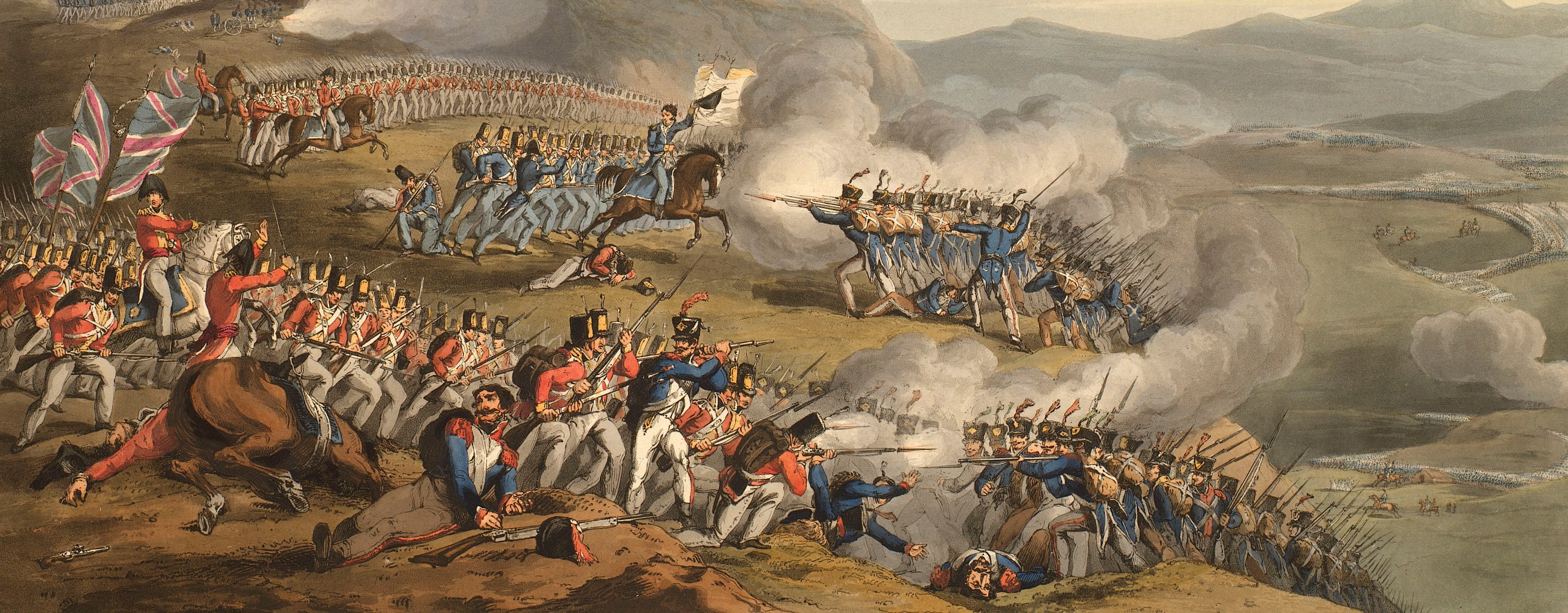
Views of naval engagements and maps of battles
Map of the Battle of Waterloo, 1815 (Waterloo, Walloon Region, Belgium) 50°42'45"N 04°24'05"E
1816Etching and engraving; printed from two copperplates on two sheets of paper, joined; hand coloured | Scale: 1:7,282. | RCIN 735187
Additional text: [bottom right, a key, 1-31, to the positions of the British regiments and French troops:] REFERENCE.
Condition: three fold lines; small tears to bottom left of map. Verso: surface dirt along right edge, consistent with the map having been rolled and tied.
Walter Jackson (active 1802-1833) (engraver) [bottom right, below edge of border:] Engraved by W Jackson 44 Gutter Lane Cheapside.
S Wharton (active 1816) (surveyor) [bottom left, below edge of border:] Taken from a Trigonometrical Survey made by S. Wharton, in July 1815.
Subject(s)
Napoléon I, Emperor of the French (1769-1821)Army-GBArmy-BelgiumArmy-DutchArmy-PrussiaArmy-BrunswickArmy-FranceWatermark: Cropped: J WHATMAN / 1811
Condition: three fold lines; small tears to bottom left of map. Verso: surface dirt along right edge, consistent with the map having been rolled and tied
Scale: 1:7,282. Scale bar: SCALE OF A MILE [221 mm =] 80 Chains / 1760 Yards.
60.4 x 117.3 cm (neatline)
62.6 x 118.0 cm (image)
67.1 cm x [cropped] (platemark)
69.5 x 124.2 cm (sheet)
Printed title:
FIELD / OF / WATERLOO. [top, right of centre, on the front of a drawing of what appears to be a funerary urn, draped with wreaths and against which are laid flags and pieces of armour]
Additional text:
[bottom right, a key, 1-31, to the positions of the British regiments and French troops:] REFERENCE.
Annotations:
George III heading: Military.
Other annotations: (Recto) none. (Verso) [top right, black pencil:] Waterloo XV; [bottom, right of centre, black pencil:] XV 187.
George III catalogue entry:
Waterloo A Plan of the Battle of Waterloo 18.th of June 1815, from a trigonometrical Survey by S. Wharton, 1815. 2 sheets.
Subject(s)
Waterloo, Walloon Region, Belgium (50°42'45"N 04°24'05"E)
Page revisions
12 July 2024
Current version


