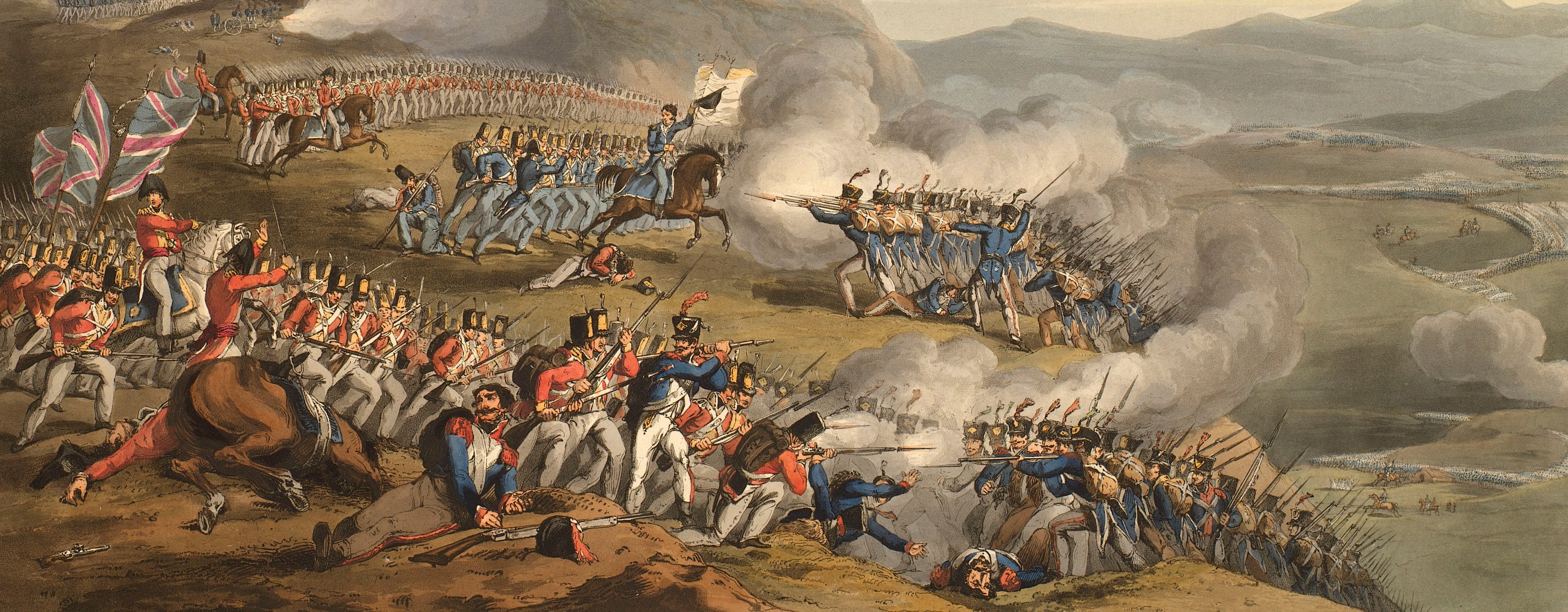
Views of naval engagements and maps of battles
Map of the siege of Badajoz, 1812 (Badajoz, Extremadura, Spain) 38°52'40"N 06°58'14"W
published 1 May 1812Etching and engraving; printed on paper; hand coloured | Scale: 1:21,100 approx. | RCIN 735173
Additional text: [bottom, below title, a key 1-20, AAA, to the bastions, ravelins, gates, etc., of the fortress and works of the Allied army:] Explanation.
The scale bar is engraved on a strip of paper which is pasted over the original scale bar which reads: 'Scale of 15 [??] English'. The units of measure of the obscured scale bar are in Varas.
Condition: one fold lines. Verso: some offsetting from same image, perhaps from being placed in a pile of maps soon after printing.
William Faden (1 July 1749-21 March 1836) (publisher) [bottom centre, below title and text:] LONDON, / Published by W. Faden. Geographer to His Majesty and to His Royal Highness the Prince Regent. / Charing Cross, May 1.st 1812.
Samuel John Neele (1758-1824) (engraver) [bottom right, below neatline of map:] Neele sculp. Strand.
Subject(s)
Army-GBArmy-PortugalWatermark: [Cropped:] JONES
Condition: one fold lines. Verso: some offsetting from same image, perhaps from being placed in a pile of maps soon after printing
Scale: 1:21,100 approx. Scale bar: Scale of 1500 Yards [65 mm =].
23.3 x 28.9 cm (neatline)
34.4 x 29.2 cm (image)
36.4 x 31.4 cm (platemark)
38.8 x 33.8 cm (sheet)
Printed title:
PLAN OF BADAJOZ AND ITS ENVIRONS, / Invested March 17,,th 1812 and carried by Storm on the Night of April 6,,th by the Allied Army commanded / By GENERAL the EARL of WELLINGTON &.c &.c &.c [bottom, below map]
Additional text:
[bottom, below title, a key 1-20, AAA, to the bastions, ravelins, gates, etc., of the fortress and works of the Allied army:] Explanation.
Annotations:
George III heading: Badajoz 17 March- 6 April 1812.
Other annotations: none.
George III catalogue entry:
Badajoz Plan of Badajoz and its Environs invested on the 17. th of March and carried by storm on the night of the 6.th of April 1812, by the Allied Army commanded by General the Earl of Wellington: published by Faden, 1812.
Subject(s)
Badajoz, Extremadura, Spain (38°52'40"N 06°58'14"W)
Page revisions
3 November 2024
Current version


