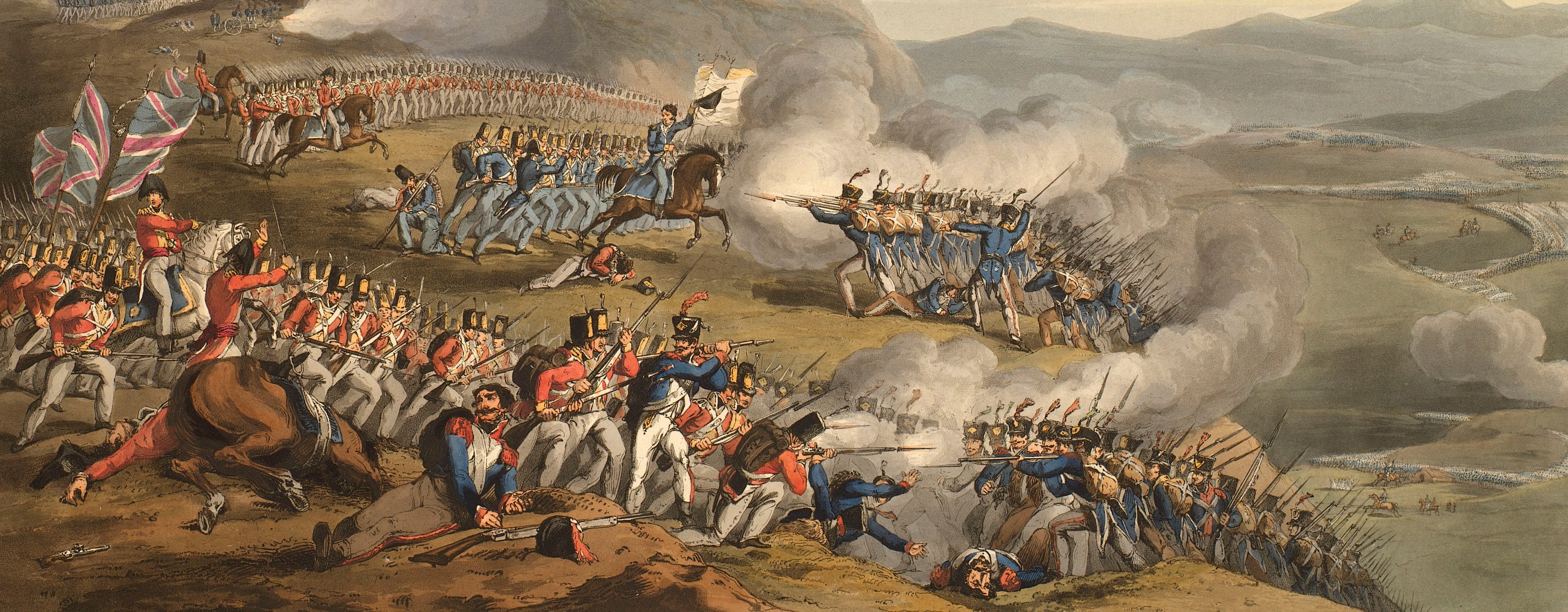
Views of naval engagements and maps of battles
Map of Wimbledon Common, 1805 (Wimbledon Common, Surrey, UK) 51°26'00"N 00°14'00"W
1803-05Engraving and etching; printed on paper; hand coloured; with manuscript annotations | Scale: 1:7,627 approx. | RCIN 735119.a
The map has been used as a base for the superimposition in manuscript, ink and watercolour, of the manoeuvres performed by the troops during the royal review on 14 June.
Additional text: [top left, in manuscript, ink, a key, A, 1-9 to the positions of the troops:] REFERENCE to the REVIEW june 14.th 1805.
Condition: four fold lines; brown staining. Verso: heavy surface dirt on outside fold panels.
J. Brown (active 1803) (cartographer) [bottom right, inside neatline:] I. Brown, Assistant Q.M. General.
Subject(s)
Army-GBWatermark: None
Condition: four fold lines; brown staining. Verso: heavy surface dirt on outside fold panels
Scale: 1:7,627 approx. Scale bar: Scale of One Mile [211 mm =].
49.4 x 41.0 cm (image and neatline)
cropped (platemark)
50.7 x 42.4 cm (sheet)
Printed title:
MILITARY SKETCH of WIMBLEDON COMMON. 1803. [bottom left]
Additional text:
[top left, in manuscript, ink, a key, A, 1-9 to the positions of the troops:] REFERENCE to the REVIEW june 14.th 1805.
Annotations:
George III heading: Wimbledon, 14 June 1805.
Other annotations: (Recto) [the insertion on the map in manuscript, ink and watercolour, of all the troop positions and, top left, the explanatory key.] (Verso) none.
George III catalogue entry:
Wimbledon Military Sketch of Wimbledon Common by I. Brown 1803: with the Position of the Troops when reviewed by the King on the 14.th of June 1805, in MS.
Subject(s)
Wimbledon Common, Surrey, UK (51°26'00"N 00°14'00"W)
Page revisions
8 June 2024
Current version


