Other 17th-century conflicts
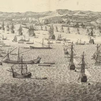
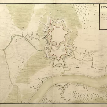
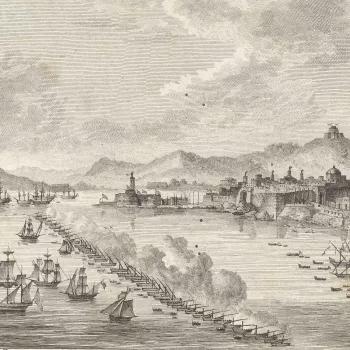
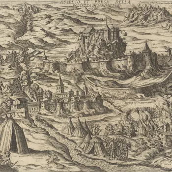
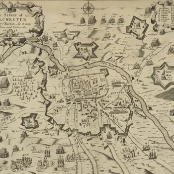
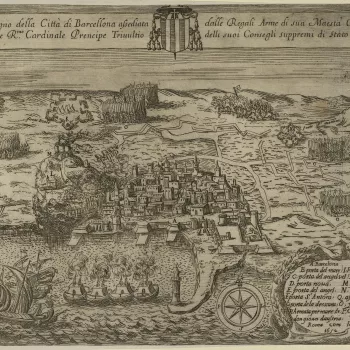
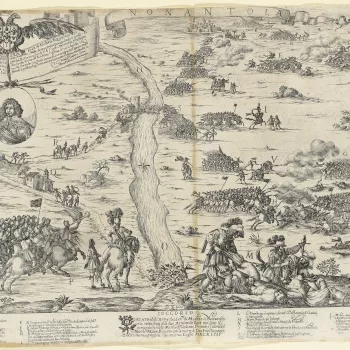
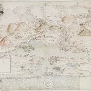
Printed and manuscript maps, prints and views of 22 seventeenth-century wars

The few maps and views covering the 16 earliest wars in this section were acquired, in the first instance, by the Italian collector, Cassiano dal Pozzo (1588–1657) and his brother, Carlo Antonio dal Pozzo (1606–89). After Carlo Antonio’s death in 1689, the collection was eventually sold by his grandson to Pope Clement XI (reg. 1700–21) in 1703. In 1714, it passed to the Pope’s nephew, Cardinal Alessandro Albani (1692–1779), from whom it was purchased in 1762 by George III.
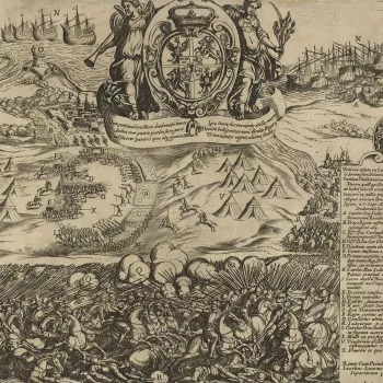
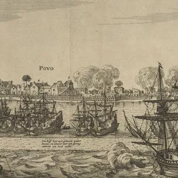
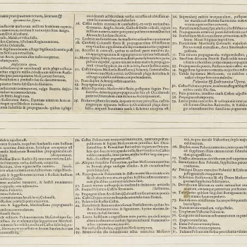
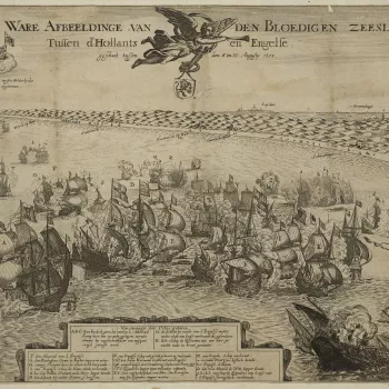
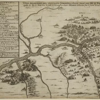
These prints formed part of the celebrated ‘Paper Museum’ which was built up by the dal Pozzos from purchases made from the flourishing printmaking industry, primarily in Italy, but also in France, Germany and the Netherlands. Many of the items are rare or are early impressions from the copperplates. They document the conflicts of the day and, in the seventeenth century, were often accompanied by letterpress text giving up-to-date information about, for example, the progress of a siege.
The items were mounted on paper, sometimes with ink framing lines drawn around the print (mount type A) and sometimes without (mount type B). These two types of paper mount can be seen on the prints of the military engagements in this section.
Of the later wars, the only one to be well represented is that of the Nine Years War or War of the Grand Alliance (1688–97). This includes unique manuscript large-scale mapping of the Williamite–Jacobite War in Ireland (1688–91) such as the sieges of Kinsale (1690) and Limerick (1691), as well as a drawing, probably by the Dutch artist Jan van Wyck, of the Battle of Aghrim (1691). Manuscript topographical mapping of areas in Hainault, and along the Rhine, together with large-scale mapping of Namur during the siege of 1695, printed maps of the camps sites and routes of marches of the French king in the Low Countries, give a cartographic overview of the war.


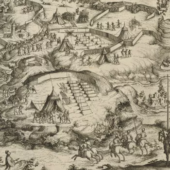
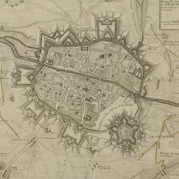
![Plan of Alès, 1629 (Alès [Alezs], Langueoc-Roussillon, France) 44°08ʹ00ʺN 04°05ʹ00ʺE](https://cmsadmin.rct.uk/sites/default/files/styles/rctr_scale_crop_350_350/public/677880-1491391982.jpg.webp?itok=fYwDr0zv)
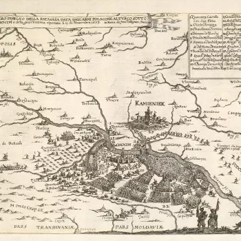
![View of the Battle of Chudnov, 1660 (Chudnov [Chudniv, Cudnow], Zhytomyr, Ukraine) 50?03?07?N 28?07?02?E](https://cmsadmin.rct.uk/sites/default/files/styles/rctr_scale_crop_350_350/public/723090%20crop.jpg.webp?itok=p-vVbzqK)
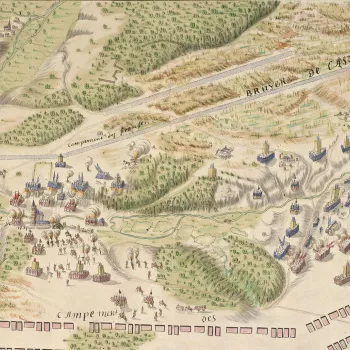
![A view of Jijel, 1664 (Jijel [Gigiry, Djidjelli], Jijel, Algeria) 36°49ʹ14ʺN 05°46ʹ00ʺE](https://cmsadmin.rct.uk/sites/default/files/styles/rctr_scale_crop_350_350/public/951167-1578415974.jpg.webp?itok=lj76rK_P)
