Search "" as a keyword...
Filter suggestionsContinue typing to see suggestions...
COLLECTION STORY

Other 18th-/19th-century conflicts

Maps, views and documents from 19 wars

Most of the conflicts in this section are covered by just one, or only a few, items but the Jacobite Wars are more substantially represented. In particular, the Jacobite Rebellion of 1745–6 includes manuscript mapping that was made during the course of the march of the royal army under William Augustus, Duke of Cumberland (1721–65), when he reached Scotland, having temporarily left the Low Countries where he had been fighting in the War of the Austrian Succession (1740–8). Surveys of the sites of his encampments on his way to Inverness, and plans of the Battles of Prestonpans, Falkirk and Culloden, are unique to this collection. More mapping relating to these two rebellions can be found in George III’s topographical collection in the British Library.

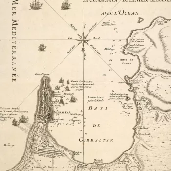
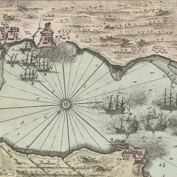
In other conflicts, the number of items, for example, covering parts of India, reflects the military engagements of the East India Company on behalf of the Crown and includes mapping by the Chief Engineers. The Great Northern War (1700–21) was fought between a Russian-led coalition and Sweden and her allies, in which Britain fought on both sides at different times. It ranged over northern, central and eastern Europe and is represented by 18 items, including contemporary manuscript maps. The Siege of Gibraltar in 1727 is covered by five maps, and the First Silesian War (1741) is represented by ten mostly printed maps and a charming set of 16 plans on vellum of encampments of the Austrian army in remote locations in Czech Silesia, now the western part of the Czech Republic.

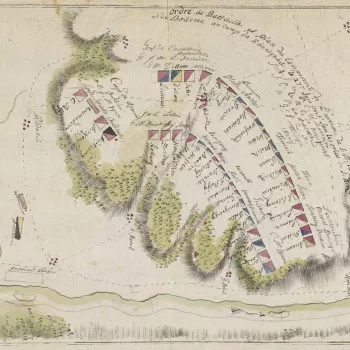
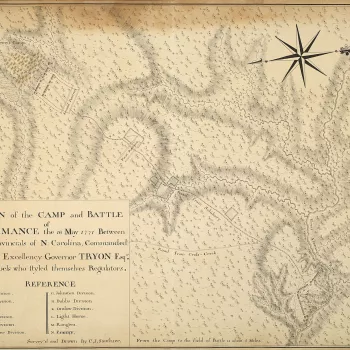
Only two items represent the War of the Regulation (c.1765–71), which was a preliminary conflict to the American War of Independence (1775–83), but they are important manuscripts, drawn by Claude Joseph Sauthier (1736–1802), who was working in North Carolina with Governor William Tryon (1725–88) at the time that the Battle of Alamance (16 May 1771) took place. Sauthier’s plan of the battle, and what appears to be his tabulation of the strength of the Provincial Army, signed by Tryon, are among the incunabula of the maps and documents of the American War of Independence. Finally, the War of 1812, fought between the United States of America and Great Britain, is illustrated by 15 contemporary prints of the naval engagements.

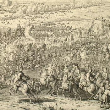
View of the Battle of Lesnaya, 1708 (Lyasnaya, Mahilyowskaya Voblast, Belarus) 53?32'30"N 30?55'09"E
Great Northern War (1700-21)

Poland, Russia and Germany feature

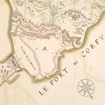
Map of the siege of Corfu, 1716 (Kerkyra, Ionian Islands, Greece) 39?37?12?N 19?55?11?E
Venetian-Turkish War (1714-18)

All relating to the siege of Corfu in 1716

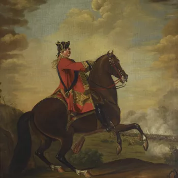
Morier was a Swiss military and sporting painter who started working for William Augustus, Duke of Cumberland (1721-65) in 1747, when he painted a series of pictures of troops under his command. From 1752 until 1764 he was employed as ‘limner’ (painte
Jacobite Wars

The uprisings in support of the Stuarts in 1715, 1719 and 1745

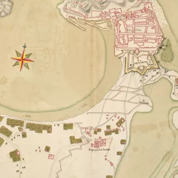
Map of the siege of St Sebastian, 1719 (San Sebastian, Basque Country, Spain) 43?18'46"N 01?58'30"W
War of the Quadruple Alliance (1718-20)

Maps of Sicily and the Basque country

Map of Gibraltar, 1727 (Gibraltar, British Overseas Territory) 36?08'00"N 05?21'00"W
Anglo-Spanish War (1727-9)

Focused on the Siege of Gibraltar in 1727

Battle of Porto Bello, 1739 (Portobelo, Colon, Panama) 09?33'00"N 79?39'00"W
War with Spain (Jenkins’s Ear) (1739-48)

Actions at Portobello and Cuba

A map of the Austrian army drawn up in two lines of order of battle on the heights to the north-west of Konigshof. First Silesian War (1740-42): part of the War of the Austrian Succession (1740-48). Oriented with north-east to top.  
Konigshof is sited on
First Silesian War (1740-2)

Mostly featuring the battles of Mollwitz and Czaslau

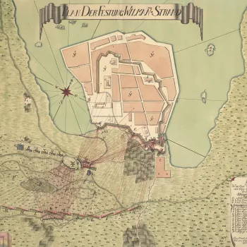
Battle of Villmanstrand, 1741
Russo-Swedish War (1741-3)

3 maps of the Battle of Villmanstrand

731043.jpg
Second and Third Carnatic Wars (1749-54; 1757-63)

Actions in Tamil Nadu during a side show to the Seven Years War

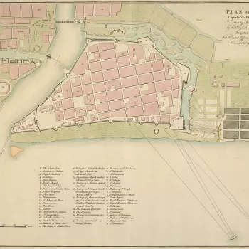
A plan of the Battle of Manila, 6 October 1762. Seven Years War (1756-63): Anglo-Spanish War (1761-63). Oriented with north-east to top. This plan is similar in virtually all respects to RCIN 733067, and may have been copied from it, or another example of
Anglo-Spanish War (1761-3)

3 maps of the Battle of Manila

A map of the camp and Battle of Alamance, fought on 16 May 1771 between the government North Carolina Provincial Militia, commanded by Governor William Tryon (1739-88), and the North Carolina Regulators, commanded by Herman Husband (1724-95), resulting in
War of the Regulation (c.1765-71)

2 records highlighting a precursor to the American War of Independence

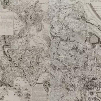
Map of Bohemia, 1778 (Czech Silesia; western two thirds of the Czech Republic) and Order of battle, 1778, Prussian army in Bohemia
War of the Bavarian Succession (1778-9)

One map showing Bohemia in 1778

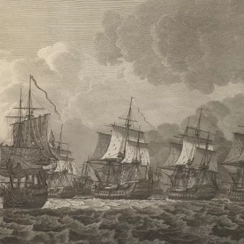
View of the Battle of Dogger Bank, 1781 (Dogger Bank, North Sea, UK) 55?00'00"N 03?00'00"E
Fourth Anglo-Dutch War (1780-84)

3 views of the Battle of Dogger Bank in 1781

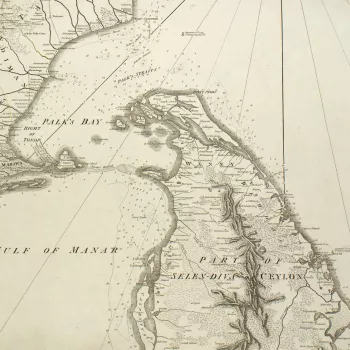
Hindustan, 1782-4
Second Mysore War (1780-84)

Maps showing the battles of Porto Novo and Pollilur

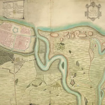
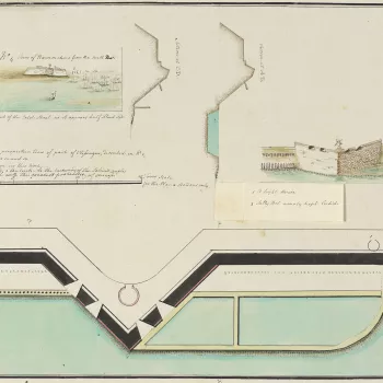
A combination reconnaissance plan and view, together with four other manuscript maps and plans at RCINs 734102.2.a-e, which appear to result from a clandestine intelligence gathering operation on the Walcheren area in December 1784 in advance of proposed
Walcheren 1784

Detailed plans of Flushing and Walcheren

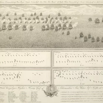
A view and plans of the Battle of Öland, fought on 26 July 1789 between the Swedish and Russian fleets with indecisive results. Russo-Swedish War (1788-90).
The Battle of Öland was indecisive; the Swedes disengaged after meeting strong resistanc
Russo-Swedish War (1788-90)

Naval battles in the Gulf of Finland and Baltic Sea

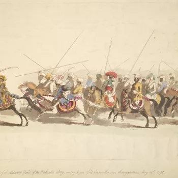
A view of the Advanced Guard of the Mahratta army, coming to join Lord Cornwallis, near Seringapatam, May 28 1791. Third Anglo-Mysore War (1789-92). 
Condition: no fold lines; creased; small tear to bottom left edge and to top right edge; surface dirt. Ve
Third Anglo-Mysore War (1789-92)

The Siege of Bangalore and battle of Seringapatam

Item: View of the Battle of Fort Oswego, 1814 (Fort Oswego [also known as Fort Chouaguen], New York, USA) 43?27'41'N 76?30'52'W
War of 1812 (1812-15)

Naval actions at Sandy Hook, Boston and San Salvador, and the Battle of Fort Oswego