The Seven Years War (1756-63)
Maps and views, correspondence and journals from the first global war

The Seven Years War is recognised as the first truly global war. It divided the European powers into two factions. Great Britain formed a coalition with Prussia, Portugal, Hanover and some other German states and was opposed by France, the Holy Roman Empire, the Electorate of Saxony, Russia, Spain and Sweden. Anglo-French engagements in North America, known as the French and Indian War, began in 1754 and persisted until the end of the Seven Years War. The conflict ranged across the globe, from North America to the Indian subcontinent, and was precipitated by Austrian ambitions to recover Silesia which had been occupied by Frederick the Great during the War of the Austrian Succession (1740–8).
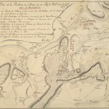
During this time, the Duke of Cumberland remained as Captain General of the British land forces until his defeat, in command of the Army of Observation, by the French at the Battle of Hastenbeck on 26 July 1757, which led to the French occupation of Hanover. Cumberland’s father, George II, who was also King of Hanover, expressed his displeasure with his son in such strong terms that Cumberland felt obliged to resign from all his appointments. In spite of this, and until his death in 1765, he continued to correspond with military figures and politicians on the progress of the war; this correspondence included some of the maps from the theatres of war.
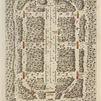
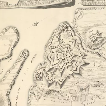
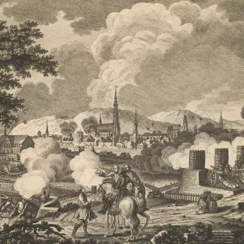
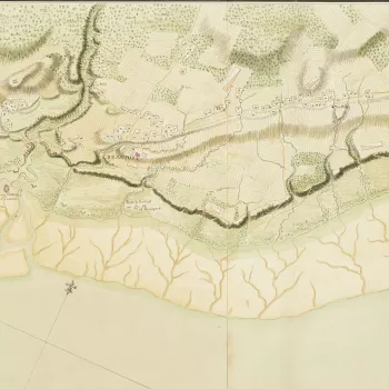
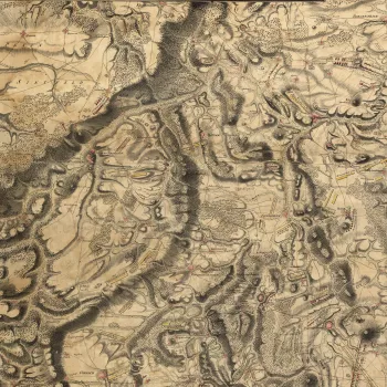
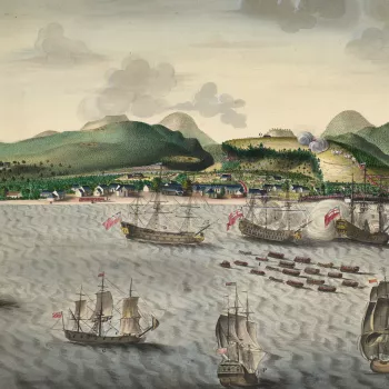
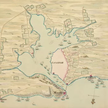
The focus of this section is on the war in Europe but it also includes items from North America, Cuba, West Indies and India. Correspondence, maps – printed and manuscript – occasional journals and views of naval engagements include unique material by William Roy, who is regarded as the founder of the Ordnance Survey, and the Hanoverian engineer surveyors and draughtsmen, the du Plats.
Similarly, the manuscript mapping of the French and Indian War (1754–63, a part of the Seven Years War, 1756–63), which includes work by such famous surveyors as Samuel Holland (1728–1801), Joseph Desbarres (1721–1824), Patrick McKellar (1717–78) and Hugh Debbeig (1731–1810), is of the greatest importance in the history of the mapping of Canada and complements the material in the King’s Topographical Collection in the British Library.


