War of the Spanish Succession (1701-14)
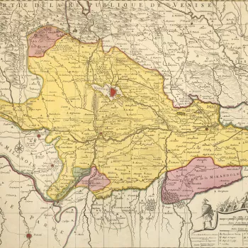
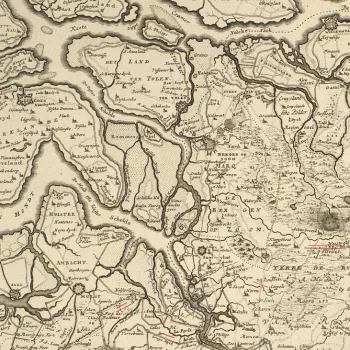
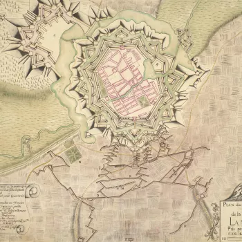
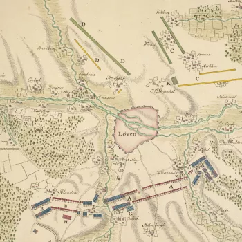
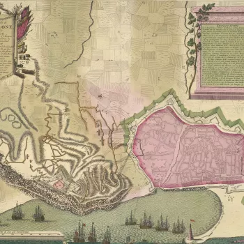
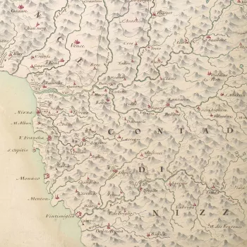
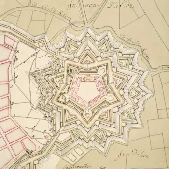
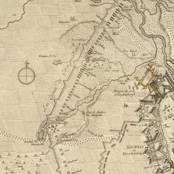
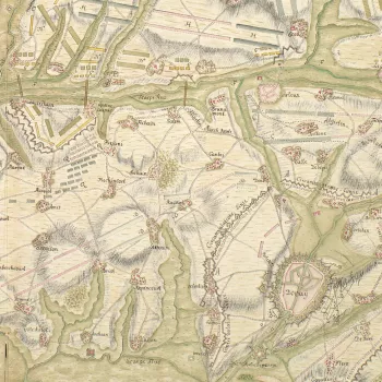
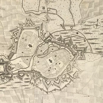
Sieges, marches, encampments and battles in Germany, Italy and the Netherlands

This war was fought by the supporters of the two contenders for the Spanish Habsburg throne on the death of the childless Charles II – the last of the Spanish Habsburg line. On one side was Philip of Anjou, grandson of Louis XIV of France. Louis’s mother was the elder daughter of Philip III of Spain and his wife was the elder daughter of Philip IV. On the other side was Archduke Charles, second son of Leopold I, Habsburg emperor. Leopold was the son of the younger daughter of Philip III and was married to the younger daughter of Philip IV.
The war was fought between Habsburg Spain in alliance with the Holy Roman Empire, Great Britain, the Dutch Republic, Prussia, Portugal and Savoy in support of Archduke Charles, and Bourbon Spain, France, Bavaria, Cologne, and Portugal and Savoy (who changed sides after 1703) in support of Philip of Anjou. The conflict was waged across several theatres in the Low Countries, Italy, Hungary, Spain and Portugal as well as North America and parts of Asia. The war was brought to an end by the Treaties of Utrecht (1713), Rastatt and Baden (both 1714) and Philip of Anjou was recognised as King of Spain.
This section comprises 182 items, many of them in manuscript; of these, 98 depict sieges, while a mere 13 show battles and the remainder are concerned with encampments or other logistical aspects of an army on the move. Several of these items are contemporary with the war – the printed maps of Eugène Henri Fricx, for example, or the beautifully executed manuscript maps of the Duke of Buccleuch's draughtsman, Gabriel Delahaye.
Of the total, 116 can be traced to the original collection of William Augustus, Duke of Cumberland (1721–65), third son of George II and uncle to George III. When fighting in the War of the Austrian Succession (1740–8), much of the ground had already been fought over in earlier wars, including the War of the Spanish Succession. The topography had barely changed and so it was useful to study the areas where previous encampments had been made and the routes of earlier marches. It appears that Cumberland had tasked his draughtsman, Schultz, and others, with making copies of earlier mapping from past campaigns so that they could be used to plan tactics and strategy some 40 years later


