Eighty Years War (Dutch War of Independence) (1568-1648)
Contemporary prints and maps of the battles and sieges of the Eighty Years War

At this time the Netherlands (most of modern Netherlands, Belgium, Luxembourg and the French provinces of Flanders and Artois) were ruled by the Spanish Hapsburgs. Their misrule, together with religious differences, combined to provoke the Dutch into rebellion. The war was persecuted by both sides over a period of 80 years, ending in the Treaty of Münster in 1648, which formally recognised the Dutch Republic.
With the exception of one item, all the maps and views covering this war were acquired, in the first instance, by the Italian collector, Cassiano dal Pozzo (1588–1657) and his brother, Carlo Antonio dal Pozzo (1606–89). After Carlo Antonio’s death in 1689, the collection was eventually sold by his grandson to Pope Clement XI (reg. 1700–21) in 1703. In 1714, it passed to the Pope’s nephew, Cardinal Alessandro Albani (1692–1779), from whom it was purchased in 1762 by George III.
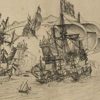
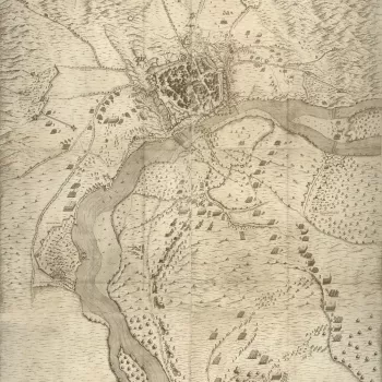
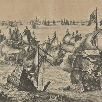
These prints formed part of the celebrated ‘Paper Museum’ which was built up by the dal Pozzos from purchases made from the flourishing printmaking industry, primarily in Italy, but also in France, the Netherlands and Germany. Many of the items are rare or are early impressions from the copperplates. They document the conflicts of the day and, in the seventeenth century, were often accompanied by letterpress text giving up to date information about, for example, the progress of a siege.
The dal Pozzos took care to arrange and present their prints and drawings in logical subject divisions such as costumes, architecture, portraits, natural history and military conflicts. The items were mounted on paper, sometimes with ink framing lines drawn around the print (mount type A) and sometimes without (mount type B). These two types of paper mount can be seen on the prints of the military engagements in this section.
When Cassiano was born, in 1588, the Eighty Years War had been underway for twenty years. Cassiano and his brother did not begin collecting until just after 1626 by which time prints of the first decade of the war may have been in short supply or even unavailable from printsellers. This may explain why there is no coverage of the earliest battles and sieges which were fought between 1568 and 1579. The maps and prints cover most of the major battles and sieges from the Siege of Maastricht in 1579 to the Siege of Gennep in 1641.


![View of Cadzand and Sluis, 1604 (Cadzand [Cadsant], Zeeland, Netherlands 51?22?06?N 03?24?30?E; (Sluis, Zeeland, Netherlands) 51?18?30?N 03?23?10?E](https://cmsadmin.rct.uk/sites/default/files/styles/rctr_scale_crop_350_350/public/721125%20crop.jpg.webp?itok=7zL_DTgX)


