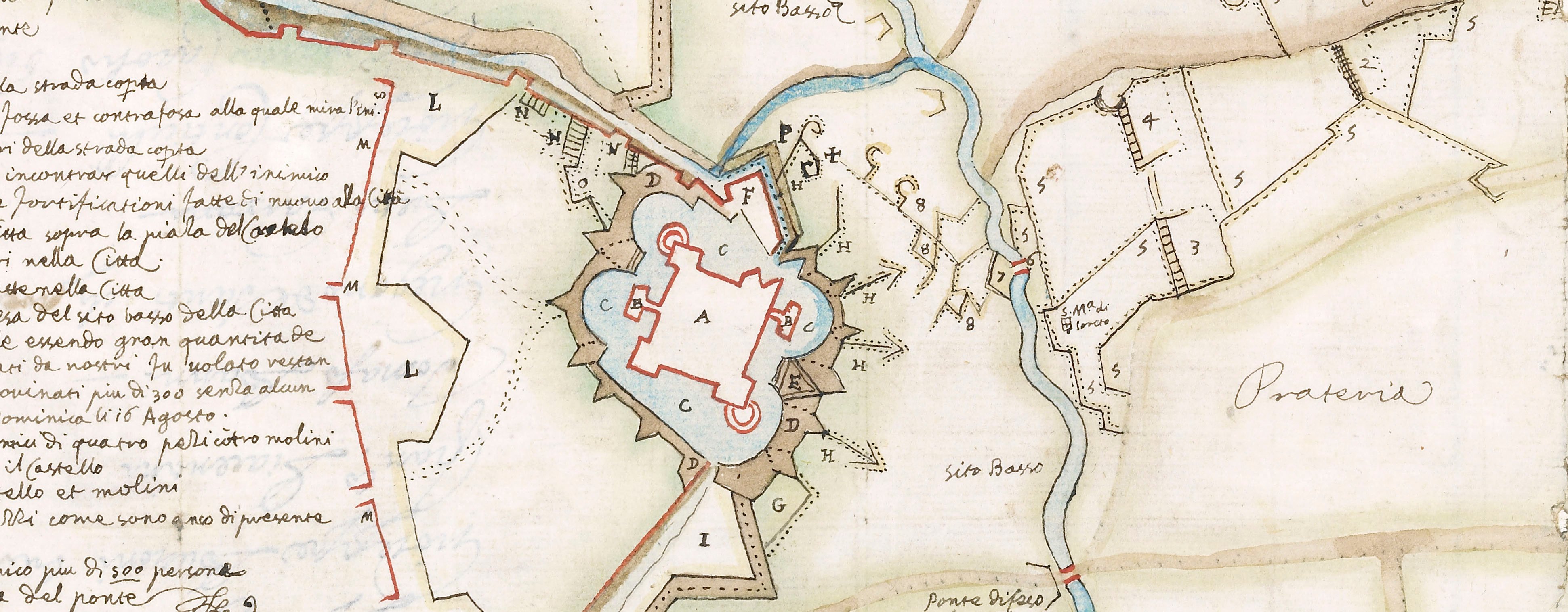
Contemporary maps and prints of the major battles and sieges from 1635 to 1658
View of La Bassée, 1642 (La Bassée, Nord-Pas-de-Calais, France) 50°32ʹ03ʺN 02°48ʹ22ʺE
1642 or laterEtching and engraving; printed on paper; mounted on paper (Mount Type B); gilt edges top and right | Scale: not stated. 1:2,000 approx. | RCIN 723015
A combination high oblique view/map of La Bassée, besieged on 20 April 1642 by the Spanish army commanded by Francisco de Melo de Portugal y Castro, Marquis de Tor de Laguna, Comte d'Assumar (1597-18 December 1651), Governor of the Spanish Netherlands 1641-1644, resulting in the capitulation of the town on 13 May 1642. Franco-Spanish War (1635-1659). Orientation not indicated.
Pieter Verbiest II (c. 1605-1693) (publisher) [bottom right, on the foot of a stone plinth:] Imprime à Anvers Chez Pierre Verbist.
Subject(s)
Army-FranceArmy-SpainWatermark: Map: coat of arms: a castle with two lions holding a shield within a crowned shield. Mount: none.
Condition: four fold lines; creased; some foxing; pressure marks
Scale: not stated. 1:2,000 approx.
23.1 x 31.4 cm (image and sheet)
cropped (platemark)
50.3 x 40.1 cm (mount)
Printed title:
PLAN DE LA BASSEE. / Attaque par les Armes de S.M. Catholique / sous la Conduite de son Excellence / DON FRANCISCO DE MELLO, le 21 Auriel et gaigner le 13. Mey. 1642. [top left, within the walls of the fortress]
Additional text:
Declaration des Litrae. [bottom left, in rectangular cartouche, a key, A-I, L-Q]
Inset:
[top right, in rectangular cartouche representing an unrolled wall map, a small-scale map of the area around La Bassée.] Scale: 1:700,000 approx. Scale bar: [19 mm =] 3 Lieu. Size: 7.2x 7.5 cm (image).
Annotations:
George III heading: La Bassée 20 April – 13 May 1642.
Other annotations: (Recto) [top left, black pencil, erased:] Bassée; [top right, black pencil:] 1642. (Verso) none.
George III catalogue entry:
Bassée, La Plan de la Bassée attaquée par les Armes de S.M. Catholique sous la conduite de Don Francisco de Mello, le 21 Avril et gagnée le 13 May 1642: Chez P. Verbist.
Subject(s)
La Bassée (Nord-Pas-de-Calais, France) 50°32ʹ03ʺN 02°48ʹ22ʺE
Bibliographic reference(s)
M. McDonald, The Print Collection of Cassiano dal Pozzo. Part II, Architecture, Topography and Military Maps, 3 vols, London 2019, cat. no. 3102
Page revisions
25 May 2024
Current version


