Contemporary maps and prints of the major battles and sieges from 1635 to 1658
Map of the siege of Damvillers, 1637 (Damvillers, Lorraine, France) 49°20ʹ37ʺN 05°24ʹ04ʺE
published 1638Etching and engraving; printed from four copperplates on four sheets of paper, joined; mounted on paper (Remains of type B mount) | Scale: 1:5,000 approx. | RCIN 722114.a
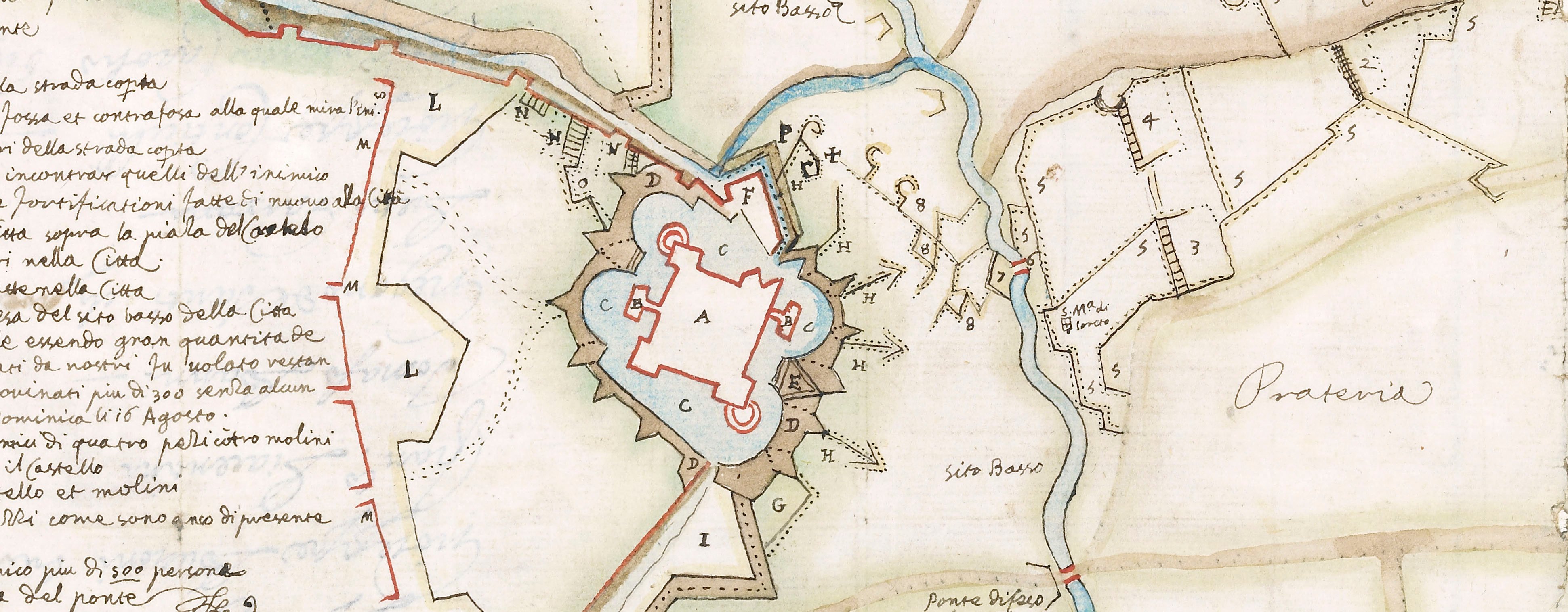
Maps of Spanish-held Damvillers and surroundings, besieged between 18 August and 24 October 1637 by the French, commanded by Gaspard III de Coligny, Duc de Châtillon (26 July 1584-4 January 1646), resulting in the capitulation of the town. Thirty Years War (1618-1648) and Franco-Spanish War (1635-1659).
The accompanying letterpress text is at RCIN 722114.b.
The small-scale map of the environs of Damvillers appears also to have been issued separately (see Bibliothèque nationale de France). The larger-scale topographical map formed the basis for a close copy by Joan Blaeu, entitled PLAN ET SIEGE DE DAMVILLERS, Assiegée par Mos.r le Mareschal de CHASTILLON / le I jour de Septembre, MDCXXXVII, / et ris le xxv jour d’Octobre suivant. which was published in Amsterdam in 1649 in his Toneel der steden van de Vereenighde Nederlanden. (see Rijksmuseum RP-P-0B-81.420).
? Abraham Bosse (1604-76) (printmaker)
Melchior Tavernier (1594-1665) (publisher)
Subject(s)
Army-FranceArmy-SpainWatermark: The letters A G separated by a diamond in a small rectangle, fleur-de-lys above; a bunch of grapes
Condition: five fold lines; brown discolouration
Scale: 1:5,000 approx. Scale bar: Echelle de Cent Toisses [sic] [40 mm =].
78.8 x 72.3 cm (image of whole item)
cropped (platemark)
79.2 x 72.3 cm (sheet)
51.4 x 72.4 cm (image and sheet of main map)
Printed title:
None
Insets:
(1) [top right, a small-scale map of the country around Damvillers:] CARTE / Thopographique des Enuirons de Dan: / uillers & autres places du Luxembourg / Assiegees & prises par Mr le Mareschal de Chastillon de puis le mois de Iuillet Ius: / que a la fin Doctobre Ao 1637 [and showing the places taken by the Spanish and the Lorrainers]. Scale: Scale bar: Echelle dune Lïeue. Size: 27.2 x 23.1 cm (image); platemark cropped.
(2) [top left, a plan of the town, lacking the detail of the houses but showing the fortified walls and the siegworks.] Scale: 1:3,000 approx. Scale bar: Echelle de Cent Toises [62 mm =]. Size: 27.2 x 36.6 cm (image); platemark cropped.
Annotations:
George III heading: Damvillers 1 Sep. 25 Oct. 1637
Other annotations: none.
George III catalogue entry:
Damvillers Plan du Siege de Damvillers par le Mareschal de Chastillon, depuis le 1.er de Sept.re jusqu’au 25 d’Oct.re 1637: avec un Plan de la Ville et une Carte topographique des Environs et autres places du Luxembourg assiegées et prises par le Mareschal de Chastillon depuis le mois de Juillet jusqu’a la fin d’Octobre 1637: chez Tavernier, 1638. 4 feuilles.
Subject(s)
Damvillers, Lorraine, France (49°20ʹ37ʺN 05°24ʹ04ʺE)
Bibliographic reference(s)
M. McDonald, The Print Collection of Cassiano dal Pozzo. Part II, Architecture, Topography and Military Maps, 3 vols, London 2019, cat. no. 3014
Page revisions
23 May 2024
Current version


