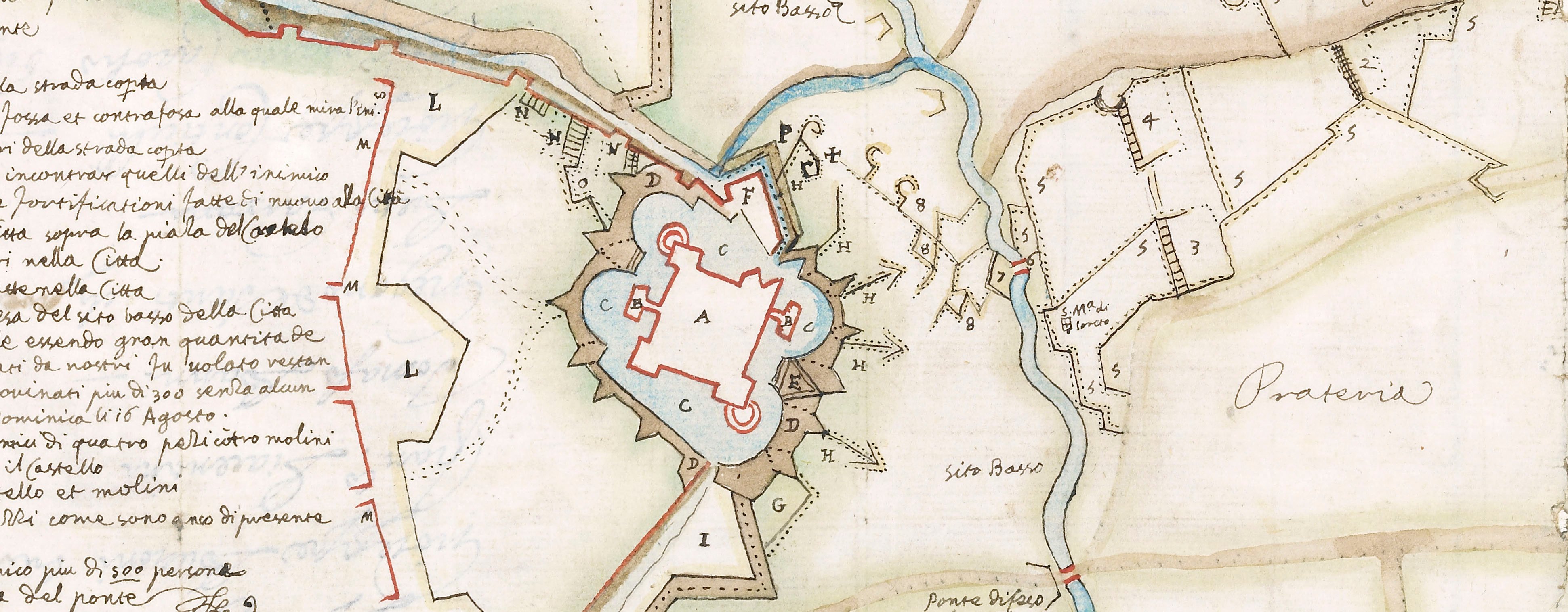
Contemporary maps and prints of the major battles and sieges from 1635 to 1658
Map of Turin, 1640 (Turin, Piedmont, Italy) 45°04'13"N 07°41'12"E
1640 or laterPencil, pen and brown ink on paper; laid down on paper and then mounted on paper (Mount Type B); gilt edges top and right | 15.5 x 21.5 cm (image and sheet) | RCIN 722154
Additional text: [top right, in Italian, a key, A-I, K-T, V.]
Condition: brown discolouration. Pressure marks to recto.
Anonymous (cartographer)
Subject(s)
Army-FranceArmy-SpainWatermark: View/map: none visible. Backing paper: indistinct, three circles, each containing a cross one above the other, crown above. Mount: none.
Condition: brown discolouration. Pressure marks to recto
15.5 x 21.5 cm (image and sheet)
21.2 x 40.2 cm (mount)
Printed title:
None
Additional text:
[top right, in Italian, a key, A-I, K-T, V.]
Annotations:
George III heading: Turin taken by the French 24 Sept.r 1640.
Other annotations: (Recto) [top left, black pencil, erased:] Turin. (Verso) [top left, black pencil, erased:] 1640.
George III catalogue entry:
Turin A small drawn Plan of the Siege of Turin taken by the French under the command of Count Harcourt on the 24.th of Sept.r 1640.
Subject(s)
Turin, Piedmont, Italy (45°04'13"N 07°41'12"E)
Page revisions
23 May 2024
Current version


