Contemporary maps and prints of the major battles and sieges from 1635 to 1658
Map of Turin, 1640 (Turin, Piedmont, Italy) 45°04'13"N 07°41'12"E
1640 or laterEtching and engraving; printed from two copperplates on two sheets of paper, joined; mounted on paper (Mount Type B); gilt edge, top | 47.6 x 41.4 cm (neatline) | RCIN 722151
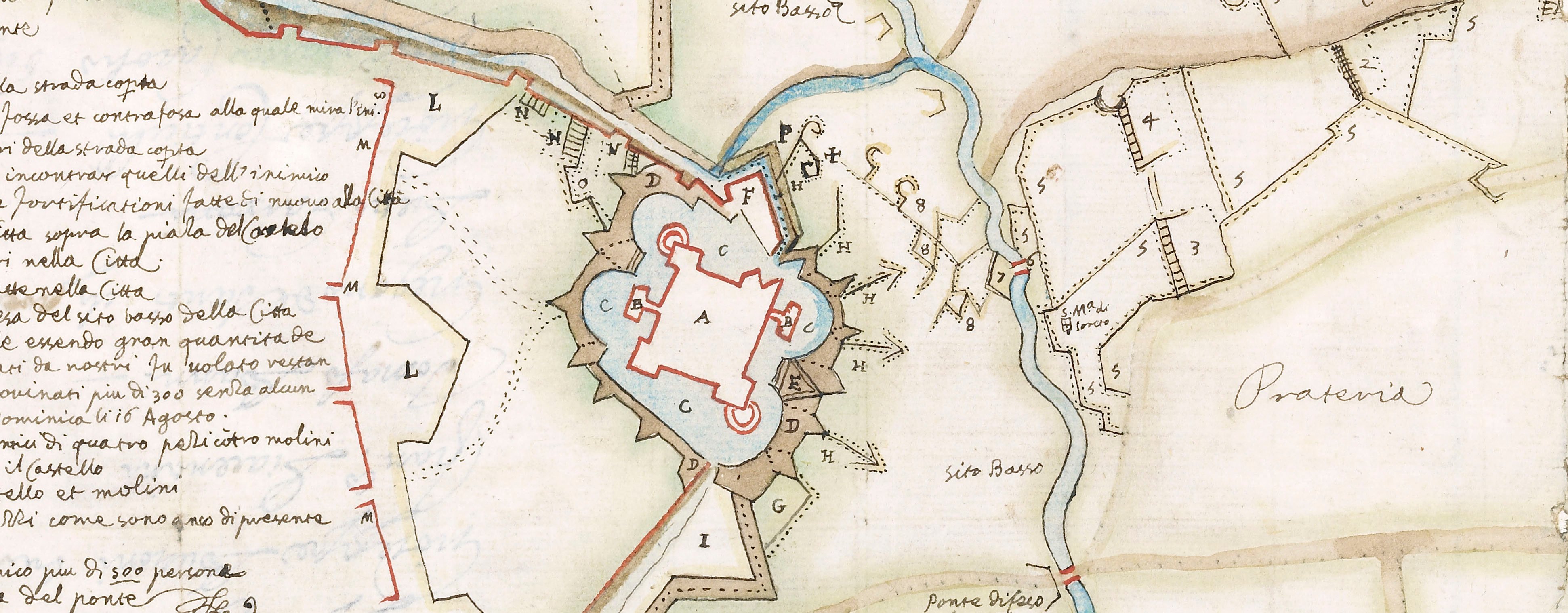
A high oblique view/map of Turin, defended by the Spanish under Diego Felipez de Guzmán, Marquis of Leganés (1580-1655) and Thomas Francis, Prince of Carignano (21 December 1596-22 January 1656) and besieged from 22 May to 20 September by a French-Piedmontese army, commanded by Henri de Lorraine, Count of Harcourt (20 March 1601-25 July 1666), supported by Henri de la Tour d'Auvergne, Vicomte de Turenne (11 September 1611-27 July 1675) resulting in the capitulation of the city on 20 September 1640. Franco-Spanish War (1635-1659). Oriented with north-west to top.
The view takes in a wide arc of the Piedmontese countryside, from Villafranca (Villafranca Piemonte 44°47ʹ18ʺN 07°30ʹ38ʺE) in the south-west, through Pinerolo (44°53ʹ07ʺN 07°19ʹ53ʺE), Aviliana (Avigliana 45°04ʹ47ʺN 07°23ʹ47ʺN), Rivoli (45°04ʹ15ʺN 07°30ʹ53ʺE), to Susa (45°08ʹ12ʺN 07°03ʹ29ʺE) in the west and Druento (45°08ʹ05ʺN 07°34ʹ36ʺE) in the north-west and round Turin to Moncaglieri (Moncalieri 44°59ʹ58ʺN 07°40ʹ56ʺE) in the south on the opposite bank of the Po River.
Anonymous (printmaker)
Subject(s)
Army-FranceArmy-SpainWatermark: View: none visible. Mount: none.
Condition: six fold lines; some brown discolouration, especially along the join of the two sheets. Pressure marks to verso
47.6 x 41.4 cm (neatline)
48.5 x 41.4 cm (image)
cropped (platemark)
49.0 x 41.6 cm (sheet)
52.3 x 36.2 cm (mount)
Printed title:
Vero dissegno delle fortificationi Francesi sotto Torino, et la forma con laquale il S.re March. di Leganes non solam te ipedisce loro i uiuere, ma sta pronto per dar il soccorso alla Città [below view, outside neatline]
Additional text:
[left, a key, A-G to various sorties made by Prince Thomas on the 15 and 23 June and other events during the siege.]
Annotations:
George III heading: Turin 1640.
Other annotations: none.
George III catalogue entry:
Turin Disegno delle Fortificationi Francesi sotto Torino et la forma con la quale il S.r Marchese di Leganes impedisce loro i viveri e sta pronto per dar il soccorso alla Citta, 1640.
Subject(s)
Turin, Piedmont, Italy (45°04'13"N 07°41'12"E)
Bibliographic reference(s)
M. McDonald, The Print Collection of Cassiano dal Pozzo. Part II, Architecture, Topography and Military Maps, 3 vols, London 2019, cat. no. 3069
Page revisions
25 May 2024
Current version


