Contemporary maps and prints of the major battles and sieges from 1635 to 1658
Map of Turin, 1640 (Turin, Piedmont, Italy) 45°04'13"N 07°41'12"E
1640 or laterEtching and engraving; printed on paper; mounted on paper; remains of type B mount, traces of earlier type A frame lines on verso of mount sheet; gilt edge, right | Scale: not stated | RCIN 722148
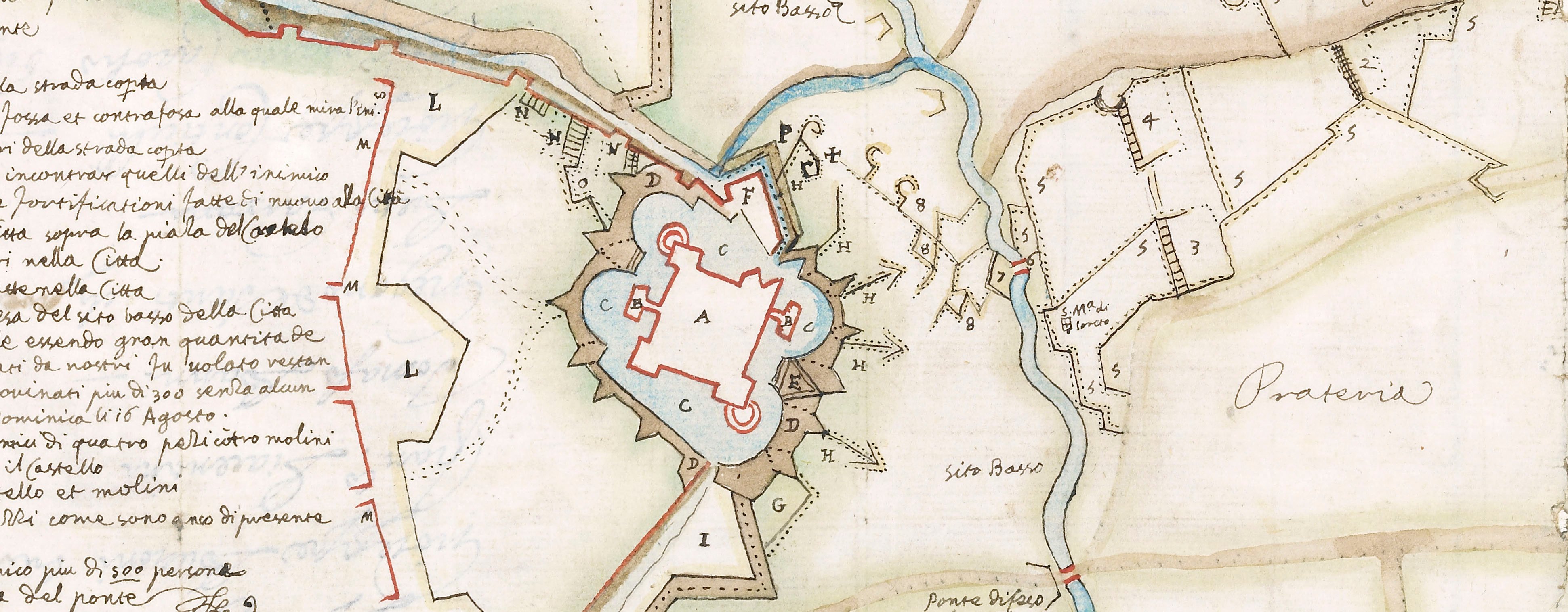
A map of Turin, defended by the Spanish under Diego Felipez de Guzmán, Marquis of Leganés (1580-1655) and Thomas Francis, Prince of Carignano (21 December 1596-22 January 1656) and besieged from 22 May to 20 September by a French-Piedmontese army, commanded by Henri de Lorraine, Count of Harcourt (20 March 1601-25 July 1666), supported by Henri de la Tour d'Auvergne, Vicomte de Turenne (11 September 1611-27 July 1675) resulting in the capitulation of the city on 20 September 1640. Franco-Spanish War (1635-1659). Oriented with north to top.
This map does resemble Tavernier's cartography and a map with the same title, but with the imprint following the title: 'A Paris, Chez Melchior Tavernier, Graveur & Imprimeur du Roy pour les Tailles douces demeurant en lisle du Palais sur le quay qui regarde la Megisserie' [line endings not supplied in the record] is in the West Sussex Record Office (PHA/3853). The Sussex example also cites a scale of 1 inch to 3 leagues. The size of the Sussex Record Office example is similar to the Royal Collection copy, which has been trimmed to within the original black border which is shown on another copy at RCIN 722039.n (see the main entry for RCIN 722039 for further attribution to Tavernier).
See also the Museo Torino catalogue number 45.
? Melchior Tavernier (1594-1665) (publisher)
Subject(s)
Army-FranceArmy-SpainWatermark: Bunch of grapes; countermark: small rectangle containing the letters AG separated by a diamond, fleur-de-lys above.
Condition: two fold lines. Verso: remains of a re-used Mount Type A. Pressure marks to recto and verso
Scale: not stated
37.8 x 52.4 cm (image and sheet)
cropped (platemark)
Printed title:
PLAN / Au vray de la ville & siege / de THURIN assiegee le 10me May / 1640 par Monseigneur le Conte / de Harcour General des Armes / de sa Majeste en Italie & / defendue par le Prince Thomas / Auec Pruilege du Roy [bottom right, in rectangular panel]
Annotations:
George III heading: Turin 1640.
Other anotations: none.
George III catalogue entry:
Turin Plan de la Ville et Siege de Thurin assiegée le 10 May 1640 par le Comte de Harcour, et defendue par le Prince Thomas.
Subject(s)
Turin, Piedmont, Italy (45°04'13"N 07°41'12"E)
Bibliographic reference(s)
M. McDonald, The Print Collection of Cassiano dal Pozzo. Part II, Architecture, Topography and Military Maps, 3 vols, London 2019, cat. no. 3065
Page revisions
25 May 2024
Current version


