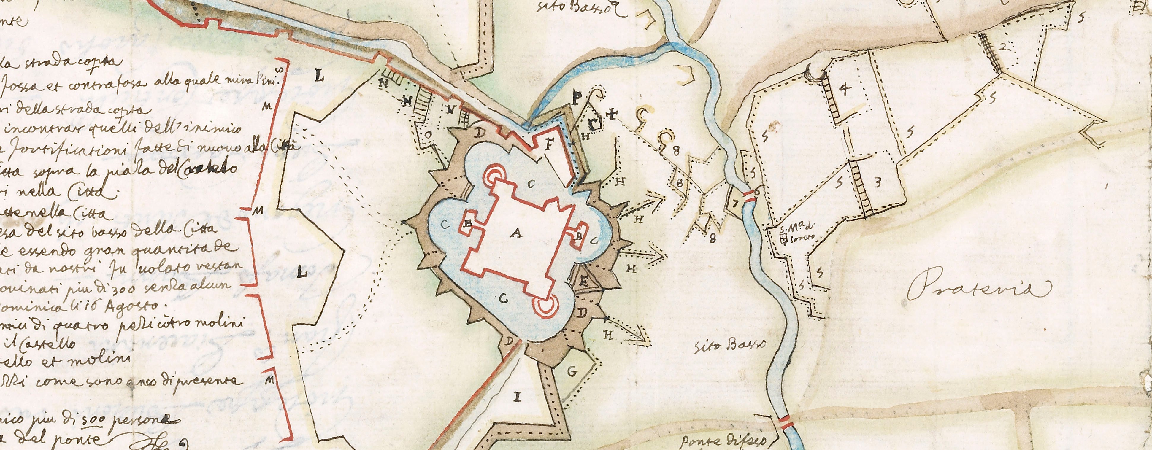
Contemporary maps and prints of the major battles and sieges from 1635 to 1658
Siege of Roses, 1645 (Roses, Catalonia, Spain) 42°15ʹ43ʺN 03°10ʹ37ʺE
1645 or laterLetterpress text on six pieces of paper, joined to form two columns of text each of three pieces; mounted on one piece of paper (Mount Type B) | 37.5 x 13.5 cm (sheet of left column) | RCIN 723053.b
Letterpress text accompanying the map of the siege of Roses, 1645 (see RCIN 723053.a). Franco-Spanish War (1635-1659).
Alexandre Boudan (1600-71) (publisher and printer)
Subject(s)
Army-FranceNavy-FranceWatermark: Text: none. Mount: kneeling saint in shield.
Condition: one fold common to text and mount
37.5 x 13.5 cm (sheet of left column)
37.6 x 13.5 cm (sheet of right column)
45.5 x 36.7 cm (mount)
Printed title:
SOMMAIRE RELATION DV SIEGE, ET DE LA PRISE / DE ROSES PAR L’ARMEE DV ROY.
Annotations:
George III heading: Roses 1 April - 28 May 1645.
Other annotations: none.
George III catalogue entry:
Roses Plan de la Ville de Roses assiegée le 1 Avril par les Armes de Sa Majesté commandées par le M.al du Plessis Praslain, et rendue le 28 May 1645: par A. Boudan. 2 feuilles. avec une Description.
Subject(s)
Roses, Catalonia, Spain (42°15ʹ43ʺN 03°10ʹ37ʺE)
Bibliographic reference(s)
M. McDonald, The Print Collection of Cassiano dal Pozzo. Part II, Architecture, Topography and Military Maps, 3 vols, London 2019, cat. no. 3165,3166
Page revisions
5 June 2024
Current version


