Contemporary maps and prints of the major battles and sieges from 1635 to 1658
View of Breme, 1638 (Breme, Lombardy, Italy) 45°07ʹ39ʺN 08°37ʹ32ʺE
1638 or laterEtching and engraving; printed on paper; laid down on paper and then mounted on paper (Mount Type B); gilt edges right and bottom | 26.8 x 35.8 cm (image and sheet) | RCIN 722125
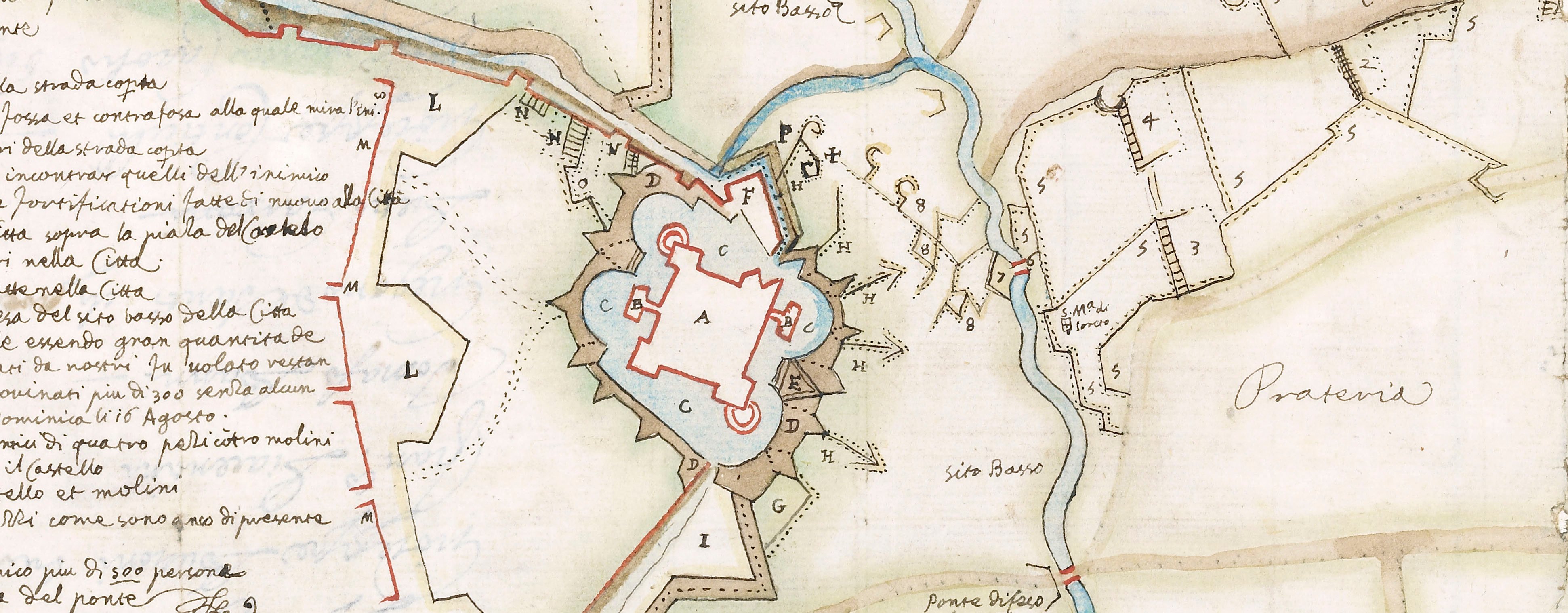
A high oblique view of Breme, besieged by the Spanish, commanded by Diego Felipez de Guzmán, 1st Marquis of Leganés (1580-1655), Governor of Milan and taken on 26 March 1636. Franco-Spanish War (1635-1659). Oriented with north to top.
The fortress of Breme covered Cazal and Vercelle and also defended both Monferrat and Piedmont. The French sent Charles II de Créquy (1575-17 March 1638) Duke of Lesdiguieres to the aid of the fortress but he was killed while approaching it.
Bernardino Bassano (fl. 1635-38) (engraver)
Subject(s)
Army-SpainWatermark: Map: indistinct: crowned shield? Backing paper: oval, and two circles containing indistinct designs, one above the other, the oval containing a cross, and a design to each side of the oval, crown above. Mount: none.
Condition: four fold lines; worn and torn along the folds; repaired by being laid down on paper before mounting. Traces of green paint on recto and verso of bottom edge. Pressure marks from the mounts of items which were kept above and below this map/print in a different collection are present on the recto and verso
26.8 x 35.8 cm (image and sheet)
cropped (platemark)
40.0 x 50.7 cm (mount)
Printed title:
DISSEGNO / Dell’ assedio della Real fortezza di / BREME / Fabricata da Francesi sopra la rive del / fiume Pò ne’ confini del Stato di Milano / postoui la notte di Venerdi 12 di Marzo / 1638. dall’ Armi Cattoliche sotto il / Gouerno dell’ Ill.mo et Eccellentiss. Sig.r Marchese di Leganes, et resasi a di / 26 del detto mese, essendo la mattina / delli 27. usciti 1100. Francesi con ar= / me, e bandiere, 400. feriti, e 100. con il / bagaglio, oltre 200. restati morti. [bottom left, in rectangular panel]
Additional text:
[bottom right, in rectangular panel, a key, A-I, L, M.]
Annotations:
George III heading: Brema 12-26 March 1638.
Other annotations: (Recto) [bottom right, black pencil:] 1638. (Verso) none.
George III catalogue entry:
Brema Disegno dell’Assedio della Fortezza di Breme postovi la notte di Venerdi 12 di Marzo 1638, dall’Armi Cattoliche sotto il Marchese di Leganes, et resasi adi 26 del detto Mese: da B. Bassano.
Subject(s)
Breme, Lombardy, Italy (45°07ʹ39ʺN 08°37ʹ32ʺE)
Bibliographic reference(s)
M. McDonald, The Print Collection of Cassiano dal Pozzo. Part II, Architecture, Topography and Military Maps, 3 vols, London 2019, cat. no. 3028
Page revisions
25 May 2024
Current version


