Contemporary maps and prints of the major battles and sieges from 1635 to 1658
View of the siege of Orbetello, 1646 (Orbetello, Tuscany, Italy) 42°26ʹ30ʺN 11°13ʹ17ʺE
published 1646Etching; printed on paper; laid down on paper and then mounted on paper (Mount Type B); gilt edges bottom and right | Scale: 1:5,700 approx. | RCIN 723069
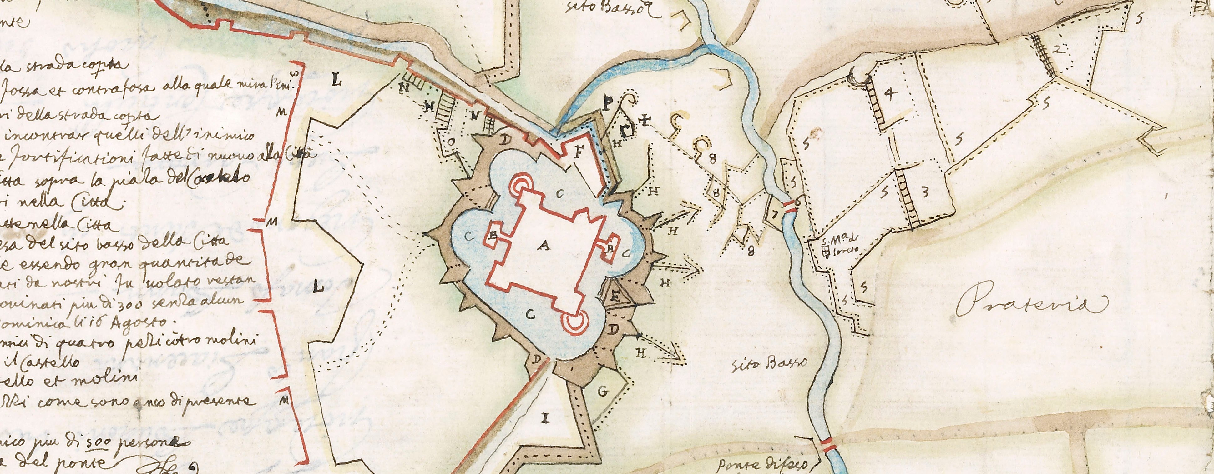
A high oblique view of the Spanish-held fortress town of Orbetello, besieged between 12 May and 24 July by the French, commanded by Thomas Francis of Savoy, Prince of Carignano (21 December 1596-22 January 1656), who were eventually obliged to lift the siege after the arrival of a Spanish relief army commanded by Gerolamo Maria Caracciolo, Marqués de Torrecuso, and Rodrigo Ponce de León, 4th Duke of Arcos. Franco-Spanish War (1635-1659). Oriented with north-west to top.
A different, possibly later, state of this print, distinguished by the insertion of the words ‘Lago o Stagno / di largezzo 3 miglia’ between the inset and the key, and by the partial erasure of Collignon’s name, is preserved in the Civica Raccolta Stampe Achille Bertarelli di Milano (Monaca, 2013, p.244, plate II).
François Collignon (c.1610-87) (etcher and publisher) [bottom right:] in Roma apresso francesco Collignon sculsit. incontro à S.te Thomasso / imperione. fatto il 21. Junÿ. 1646. Con licentia de Superiori.
Subject(s)
Army-FranceNavy-FranceWatermark: Map: crown with six-pointed star above in a circle. Backing paper: cross in pear-shaped outline, a cartouche with letters below. Mount: none.
Condition: some foxing. Verso: offsetting from Italian letterpress text on verso
Scale: 1:5,700 approx. Scale bar: Cana Napolitana [37 mm = ].
29.8 x 34.4 cm (image and sheet)
cropped (platemark)
40.1 x 52.3 cm (mount)
Printed title:
IL VERO DISEGNO DI ORBETELLO Laño. 1646 [top centre, in banderole]
Printed title:
LA VERA PIANTA DI ORBETELLO CAVATA DAL VERO / Con li Aprocie et anco la carta del paese misurato con / le loro scale. [secondary title, bottom right, in rectangular panel above key]
Inset:
[bottom left, in rectangular panel, a small-scale map of the hinterland of Orbetello.] Scale: 1:591,100 approx. Scala di Miliaria 15 [47 mm =]. Size: 10.2 x 13.0 cm (neatline).
Additional text:[bottom right, in rectangular panel below the secondary title, three columns of text and symbols comprising a key, A-I, K-T, V, X-Z to the fortifications batteries etc.]
Annotations:
George III heading: Orbitello 1646.
Other annotations: (Recto) [top right, black pencil, erased:] Orbitello. (Verso) none.
George III catalogue entry:
Orbitello La vera Pianta di Orbetello con li Approcie, et anco la Carta del Paese, 1646: apresso F. Collignon, 1646.
Subject(s)
Orbetello, Tuscany, Italy (42°26ʹ30ʺN 11°13ʹ17ʺE)
Bibliographic reference(s)
M. McDonald, The Print Collection of Cassiano dal Pozzo. Part II, Architecture, Topography and Military Maps, 3 vols, London 2019, cat. no. 3193
Page revisions
25 May 2024
Current version


