French Revolutionary Wars (1792-1802)
Maps and prints of naval engagements collected by George III
Divided into two periods – the War of the First Coalition (1792–7) and the War of the Second Coalition (1798–1802) – the French Revolution drew France into conflict with many countries, including Great Britain, Austria, Prussia and Russia. Fighting took place across Europe, Egypt, the Middle East, the Indian subcontinent and Indian Ocean, the Caribbean and the Atlantic Ocean. France was the victor of both wars and hostilities temporarily ended with the Treaty of Amiens in 1802, by which Great Britain recognised the French Republic.
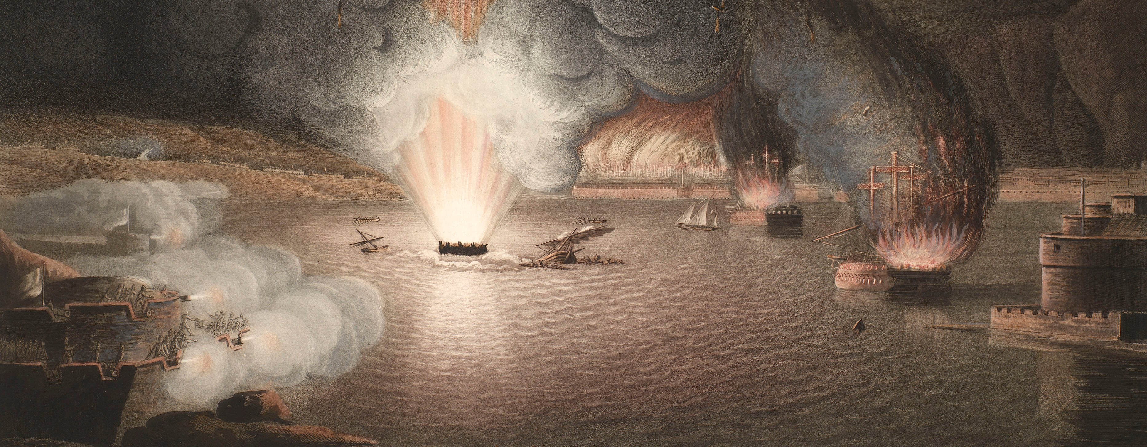
George III followed the French Revolutionary wars with the same active interest that he had a decade and more earlier with the War of American Independence. The course of the war was illustrated not just by maps, produced by publishers such as William Faden, who had been appointed Geographer to George III in 1783, but also by numerous prints of the naval battles. While many of these are preserved in the King’s Topographical Collection in the British Library, several, showing the more military side of the conflict, were retained in the King’s Military Collection.
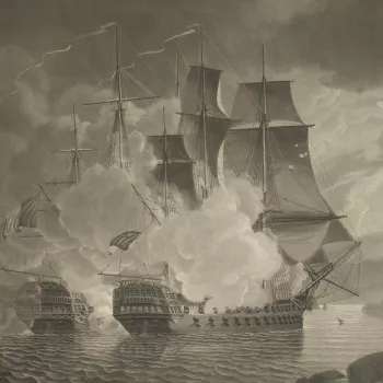
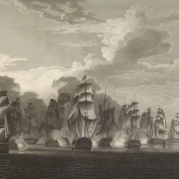
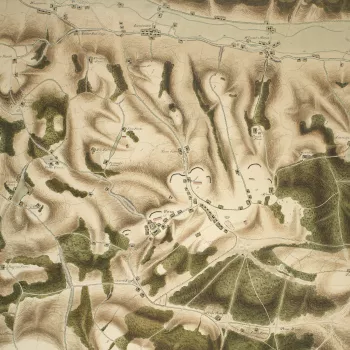
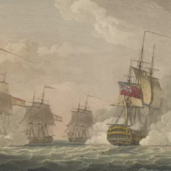
Maps were collected of the siege of Mainz in 1793 at which hot-air balloons were used by the French; the siege of Valenciennes, in the same year, was mapped by British officers and now features in the collection. Many of the items are prints of famous naval engagements, from Copenhagen to the Nile, which were immortalised by Nicholas Pocock, Robert Dodd, Daniel and Edward Orme and others, who produced prints after heroic paintings by such artists as John Singleton Copley.
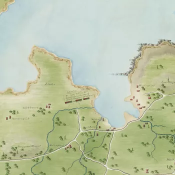
The fear of a French invasion was ever present, even on the east coast of Scotland, shown by the manuscript maps of the small encampments of militia at Dunbar, Musselburgh and Aberdeen by the Scottish land surveyor George Taylor (c.1767–1841) – who had served in North America. These are accompanied by maps and diagrams of reviews of troops in the south of England and around London, which were attended by George III.
The King’s enthusiasm for the cartographic sciences was matched by his interest in the military sciences and military education. He was supportive of the founding at High Wycombe, in 1799, of the Royal Military College by his protégé, John Gaspard le Marchant (1766–1812). Here, the young officers were taught topography, surveying and mapping by a French émigré – General François Jarry – and an Ordnance Survey surveyor, and examples of the students’ college work are also in this section of the collection.


