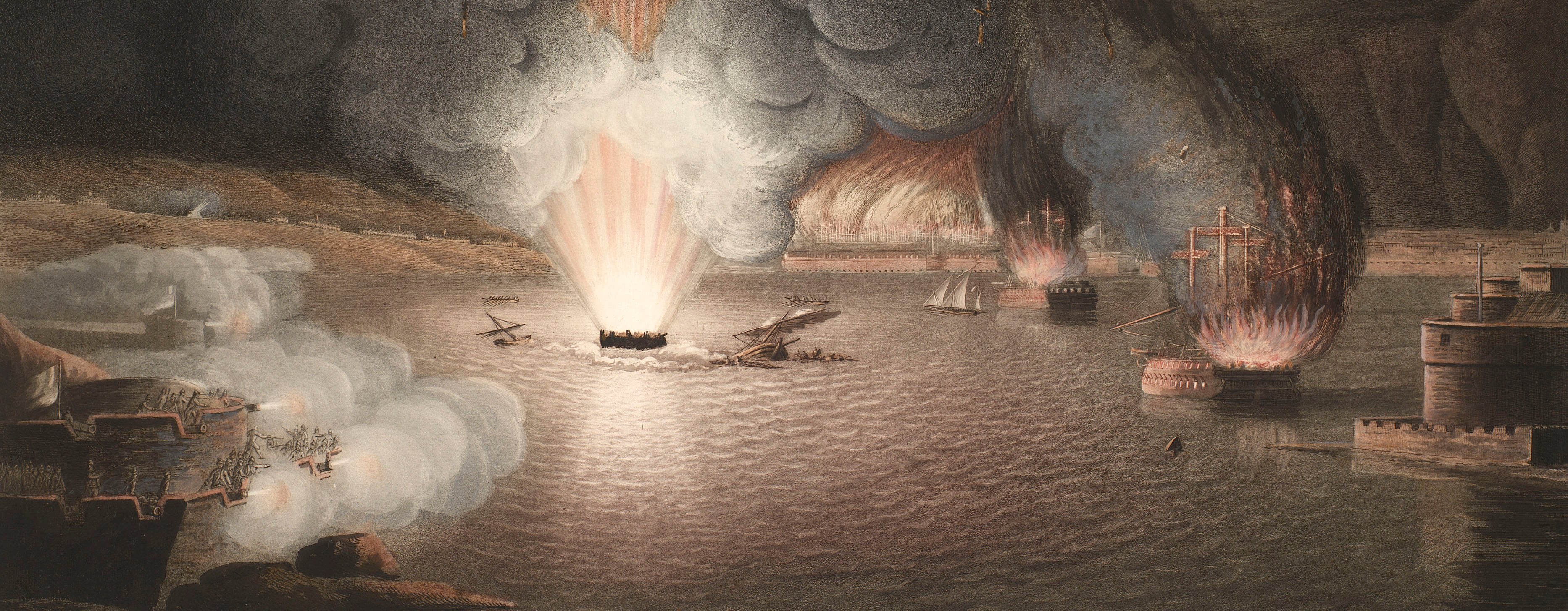
French Revolutionary Wars (1792-1802)
Maps and prints of naval engagements collected by George III during the decade of war
Map of Cadiz, 1797 (Cadiz, Andalusia, Spain) 36°32'01"N 06°17'58"W
published 22 Sep 1797Etching and engraving; printed on paper | Scale: 1:1:78,500 approx. | RCIN 735055
The blockade of Cadiz was begun by Admiral Jervis, Earl St Vincent, in 1797 and lasted until 1802. This map shows the position of the Spanish fleet, adjacent coastal towns, and several soundings which would have been taken from Spanish source materials, as stated in the title.
Additional text: [top left, a key, 1-24, to the names of the British ships, their commander, and the number of guns they carry:] REFERENCES to the BRITISH FLEET.
Condition: no fold lines.
William Faden (1749-1836) (publisher) [bottom right, below title:] LONDON / Published by W. Faden, Geog,r to the King / & to H.R.H. the Prince of Wales / Sep.r 22.d 1797.
After Captain Vicente Tofino (active 1797) (surveyor)
Thomas Foot (active 1790-1825) (engraver) [bottom centre, below border:] Engraved by T. Foot.
Subject(s)
Royal NavyNavy-SpainJohn Jervis, 1st Viscount St Vincent (1735-1823)Watermark: None
Condition: no fold lines
Scale: 1:1:78,500 approx. Scale bar: Scale of Two Leagues [i.e. 6 miles 123 mm =].
31.5 x 41.3 cm (neatline)
32.2 x 41.6 cm (image)
35.1 x 44.9 cm (platemark)
37.1 x 46.8 cm (sheet)
Printed title:
Plan of the / HARBOUR OF CADIZ / from the Spanish Chart of / D. Vicente Tofino / with the BLOCKADE by the BRITISH FLEET / under the Command of / The RIGHT HON.BLE EARL OF S.T VINCENT. [bottom right]
Additional text:
[top left, a key, 1-24, to the names of the British ships, their commander, and the number of guns they carry:] REFERENCES to the BRITISH FLEET.
Annotations:
George III heading: Cadiz July 1797.
Other annotations: none.
George III catalogue entry:
Cadiz Plan of the Harbour of Cadiz, from the Spanish Chart of D. Vicente Tofino, with the Blockade by the British Fleet under the command of the Earl of S.t Vincent in July 1797: published by Faden 1797.
Subject(s)
Cadiz, Andalusia, Spain (36°32'01"N 06°17'58"W)
Page revisions
25 May 2024
Current version


