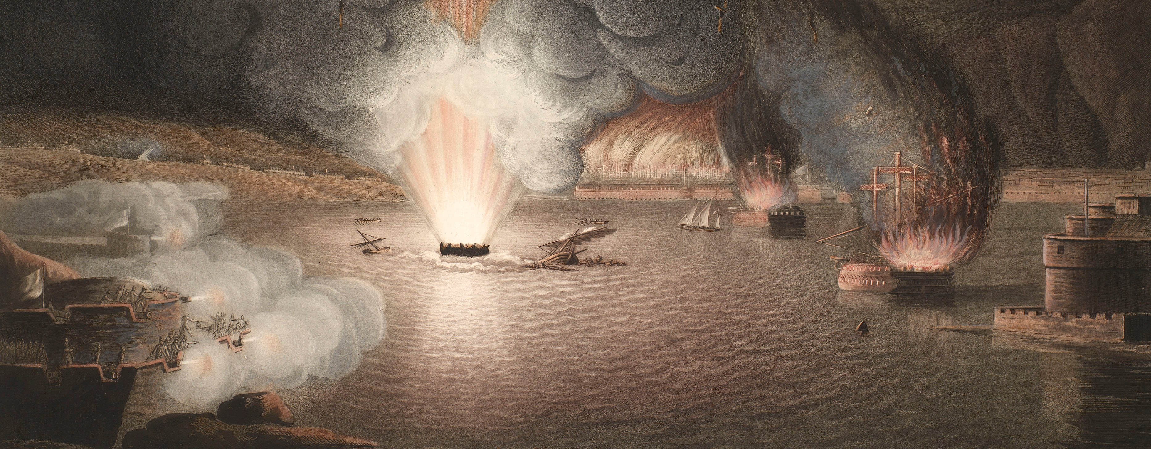
French Revolutionary Wars (1792-1802)
Maps and prints of naval engagements collected by George III during the decade of war
Map of Chaguaramas, 1797 (Chaguaramas, Trinidad and Tobago) 10°41'21"N 61°38'22"W
published 18 Mar 1798Etching and engraving; printed on paper; hand coloured | Scale: 1:25,500 approx. | RCIN 735052
Admiral Hervey, escorting 40 transport ships, took control of Trinidad from the Spanish on 18 February. This map shows the positions of the Spanish and British fleets and the transports, as well as the sites of intended batteries and the proposed site of the new town of Chaguaramas.
Condition: no fold lines.
William Faden (1749-1836) (publisher) [bottom centre, between border and platemark:] LONDON Published by W. Faden Geographer to THE KING and to H·R·H· the PRINCE OF WALES March 18.th 1798.
Subject(s)
Royal NavyNavy-SpainWatermark: Cropped: 1 7 L E [P...]
Condition: no fold lines
Scale: 1:25,500 approx. Scale bar: Scale of one Nautic Mile or 2005 Varas of Castile [67 mm =].
24.4 x 41.9 cm (neatline)
25.3 x 42.5 cm (image)
25.5 x 43.9 cm (platemark)
28.7 x 45.9 cm (sheet)
Printed title:
PLAN OF THE PENINSULA AND HARBOUR OF CHAGUARAMAS, / IN THE ISLE OF TRINIDAD, with the position of THE BRITISH and SPANISH SQUADRONS 16 Feb.y 1797. [bottom centre, inside neatline]
Annotations:
George III heading: Chaguaramus 16 Feb. 1797.
Other annotations: (Recto) [in title, black pencil, the date:] 16 Feb.y [and 179] 7. (Verso) none.
George III catalogue entry:
Chaguaramas Plan of the Peninsula and Harbour of Chaguaramas in the Isle of Trinidad, with the position of the British and Spanish Squadrons on the 16.th of Feb.y 1797: published by W. Faden, 1798.
Subject(s)
Chaguaramas, Trinidad and Tobago (10°41'21"N 61°38'22"W)
Page revisions
25 May 2024
Current version


