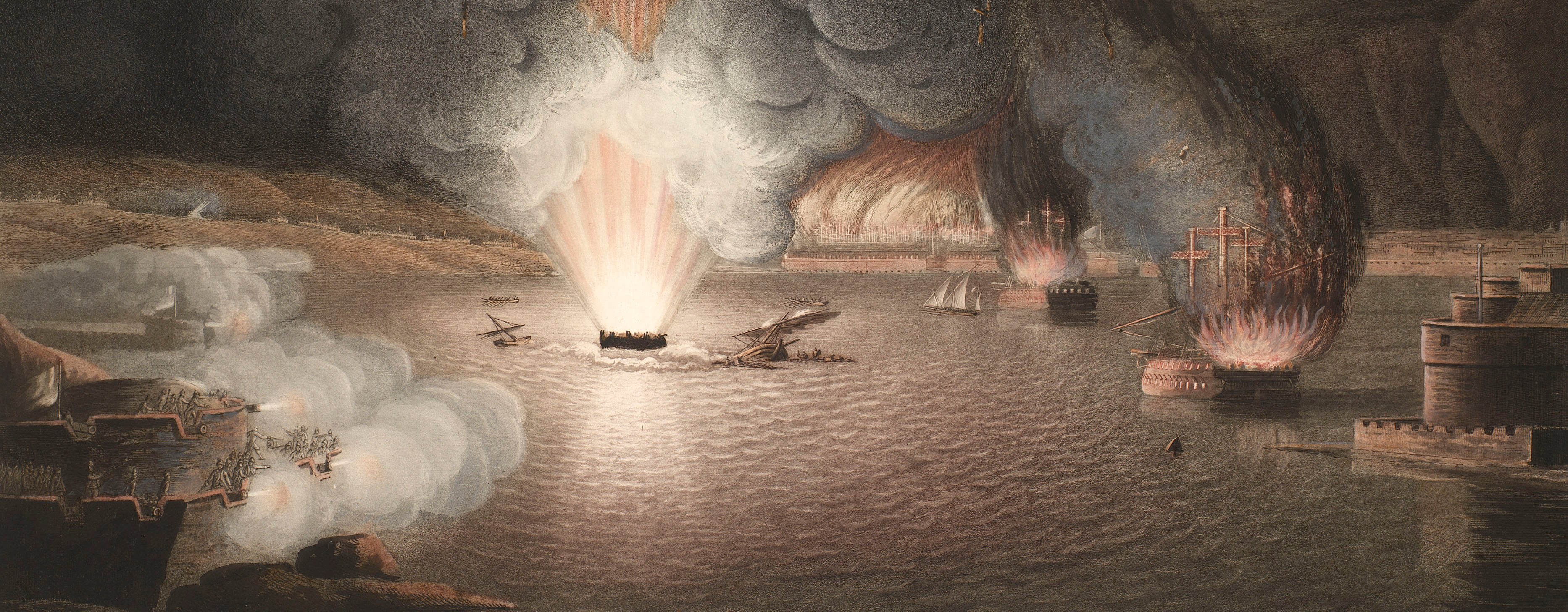
French Revolutionary Wars (1792-1802)
Maps and prints of naval engagements collected by George III during the decade of war
Egypt, 1801
PLAN / of the OPERATIONS of the / BRITISH & OTTOMAN FORCES / in / EGYPT, / From the 8.th of March to the 2.d of Sept.r 1801, / when the French were Finally expelled from that / COUNTRY. / Composed from materials furnished by the...
published 1 Sep 1802Engraving and etching; printed on paper; hand coloured | Scale: 1:259,571 approx. | RCIN 735086
The descriptive text over the area called 'Ancient Bed of the Lake Mareotis' describes how it was inundated by the British after the Battle of Alexandria (1 March 1801), and that it extended 50 leagues to the west and was 9-11 feet deep, and 'is perhaps the most Magnificent piece of Water ever formed by Artificial Means'. A description of this was given by Serjeant Benjamin Miller (4th Battalion, Royal Artillery): 'We now began to cut sluices and let the sea in to all the low parts of the country to prevent the French from leaving Alexandria, or receiving reinforcements from Grand Cairo, by which means we soon saw a fleet of armed vessels on the plains, where but a short time before we had fought a general engagement.' (JSAHR VII, 27:27-8; 1928).
Inset: [left, the isthmus of Alexandria drawn at a larger scale showing the landing places of the British troops and the various field works which were constructed. Oriented with east to top.]
Scale: 1:64,373 approx. Scale of the Peninsula [50 mm =] 2 miles.
Size: 20.5 x 70.9 cm (neatline).
Condition: three fold lines; slight foxing and discolouration on both sides.
Aaron Arrowsmith (14 July 1750-23 April 1823) (publisher) [bottom centre, below border:] London Published by A. Arrowsmith 1.st September 1802 N.o 24 Rathbone Place.
Samuel John Neele (1758-1824) (engraver) [bottom right, below edge of border:] Engraved by SJ Neele 352 Strand.
Watermark: None
Condition: three fold lines; slight foxing and discolouration on both sides
Scale: 1:259,571 approx. Scale bar: British Miles [62 mm =] 10.
87.8 x 41.3 cm (neatline)
89.2 x 42.4 cm (image)
[cropped] x 43.3 cm (platemark)
90.5 x 49.1 cm (sheet; wider at top)
Printed title:
PLAN / of the OPERATIONS of the / BRITISH & OTTOMAN FORCES / in / EGYPT, / From the 8.th of March to the 2.d of Sept.r 1801, / when the French were Finally expelled from that / COUNTRY. / Composed from materials furnished by the Quarter Master Generals Department. [bottom right]
Inset:
[left, the isthmus of Alexandria drawn at a larger scale showing the landing places of the British troops and the various field works which were constructed. Oriented with east to top.]
Scale: 1:64,373 approx. Scale of the Peninsula [50 mm =] 2 miles.
Size: 20.5 x 70.9 cm (neatline).Annotations:
George III heading: Egypt 8 March – 2 Sept 1801.
Other annotations: none.
George III catalogue entry:
Egypt Plan of the Operations of the British and Ottoman Forces in Egypt from the 8.th of March to the 2.d of Sept.r 1801, when the French were finally expelled from that Country: published by Arrowsmith, 1802.
Bibliographic reference(s)
M.R. Dacombe and B.J.H. Rowe, ‘The adventures of Serjeant Benjamin Miller, during his service in the 4th Battalion, Royal Artillery, from 1796 to 1815’, Journal of the Society for Army Historical Research, VII, 1928, pp.27-8
Page revisions
14 March 2024
Current version


