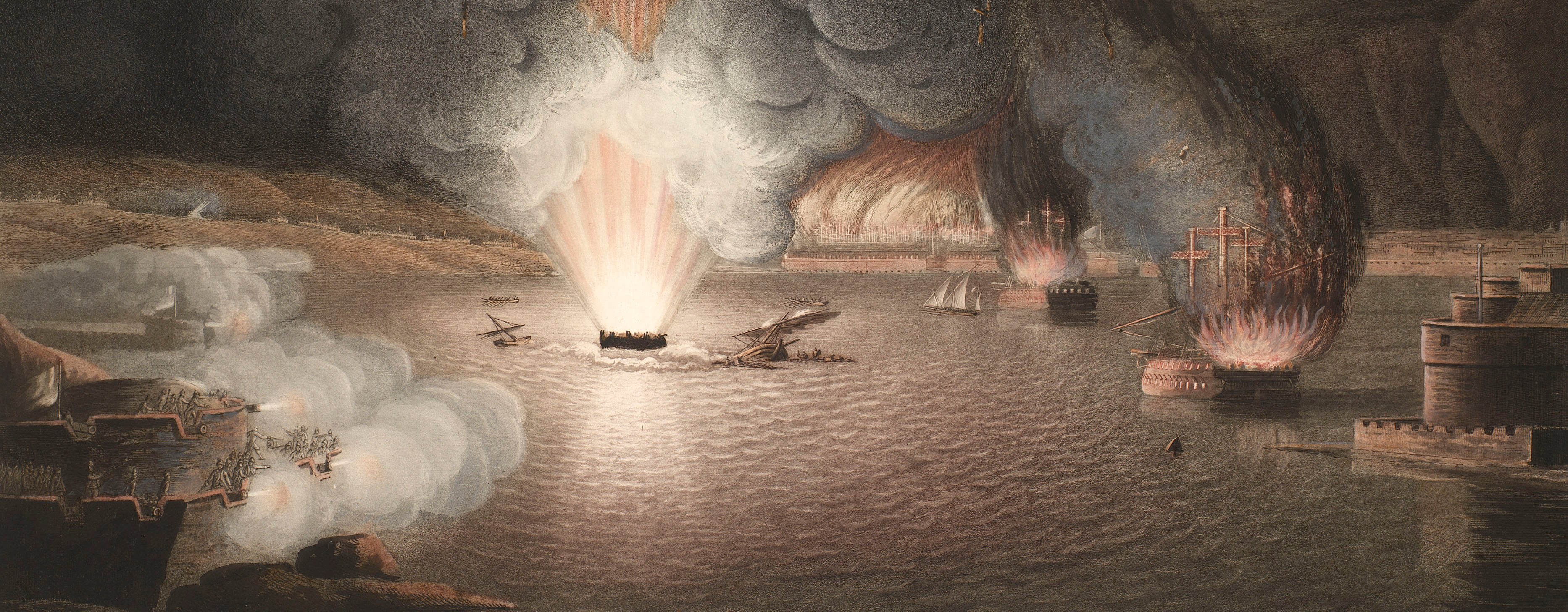
French Revolutionary Wars (1792-1802)
Maps and prints of naval engagements collected by George III during the decade of war
Ferrol, 1800
PLAN / OF THE INLETS OF / FERROL / CORUÑA AND BETANZOS / Geometrically Surveyed in 1787. / By DON VINCENT TOFIÑO DE S. MIGUEL, / BRIGADIER IN THE SPANISH NAVAL ARMY
published 1 Jan 1801Engraving and etching; printed on paper; hand-coloured; a small flap on which is engraved an extension of the map to cover Cape Prior is pasted to the top margin | Scale: 1:46,689 approx. | RCIN 735085
The British assault on Ferrol came to nothing because Pulteney decided, having seen the fortifications, that they were too strong, and the garrison too large, for an attack to be successful. The action was called off under protest from the naval officers, and Pulteney survived a censure motion in the House of Commons.
Additional text: References / to the Additional Sketch / intended to exhibit the Position of the British Squadron, and / the March of the Troops from the Beach to the Heights of / Balon & Brion &c. with the Situation of the Spanish Squadron.
For further reading, see:
R. Thomas, 'Pulteney, Sir James Murray-, seventh baronet (c.1755–1811)', Dictionary of National Biography, Oxford, , first published 2004; online edition 2008.
Condition: one fold line. Verso: induced discolouration.
William Faden (1 July 1749-21 March 1836) (publisher) [bottom centre, below title:] LONDON / Published by W. Faden Geographer to His Majesty / and to H.R.H the Prince of Wales, / Charing Cross Janu.y 1.st 1801.
Captain Vicente Tofino (active 1797) (surveyor)
Watermark: None
Condition: one fold line. Verso: induced discolouration
Scale: 1:46,689 approx. Scale bar: Nautic Miles [119 mm =] 3.
43.0 x 55.9 cm (neatline)
44.2 x 56.2 cm (image)
45.6 x 58.5 cm (platemark)
23.8 x 13.9 cm (extension flap)
51.5 x 65.0 cm (sheet)
70.7 x 65.0 cm (sheet with flap open)
Printed title:
PLAN / OF THE INLETS OF / FERROL / CORUÑA AND BETANZOS / Geometrically Surveyed in 1787. / By DON VINCENT TOFIÑO DE S. MIGUEL, / BRIGADIER IN THE SPANISH NAVAL ARMY. [bottom centre]
Additional text:
References / to the Additional Sketch / intended to exhibit the Position of the British Squadron, and / the March of the Troops from the Beach to the Heights of / Balon & Brion &c. with the Situation of the Spanish Squadron.
Annotations:
George III heading: Ferrol 25 August 1800.
Other annotations: none.
George III catalogue entry:
Ferrol Plan of the Inlets of Ferrol, Coruna and Betanzos, geometrically surveyed in 1787 by Don Vincent Tofino: with the position of the British Squadron under the command of Sir I.B. Warren, and the March of the Troops, commanded by Sir James Pulteney, from the Beach to the Heights of Balon and Brion above Ferrol, on the 25.th of August 1800: with the situation of the Spanish Squadron: published by Faden, 1801.
Subject(s)
Ferrol, Galicia, Spain (43°28'59"N 08°14'12"W)
Bibliographic reference(s)
R.N.W. Thomas, 'Pulteney, Sir James Murray-, seventh baronet (c.1755–1811)', Dictionary of National Biography, Oxford, first published 2004; online edition 2008
Page revisions
14 March 2024
Current version


