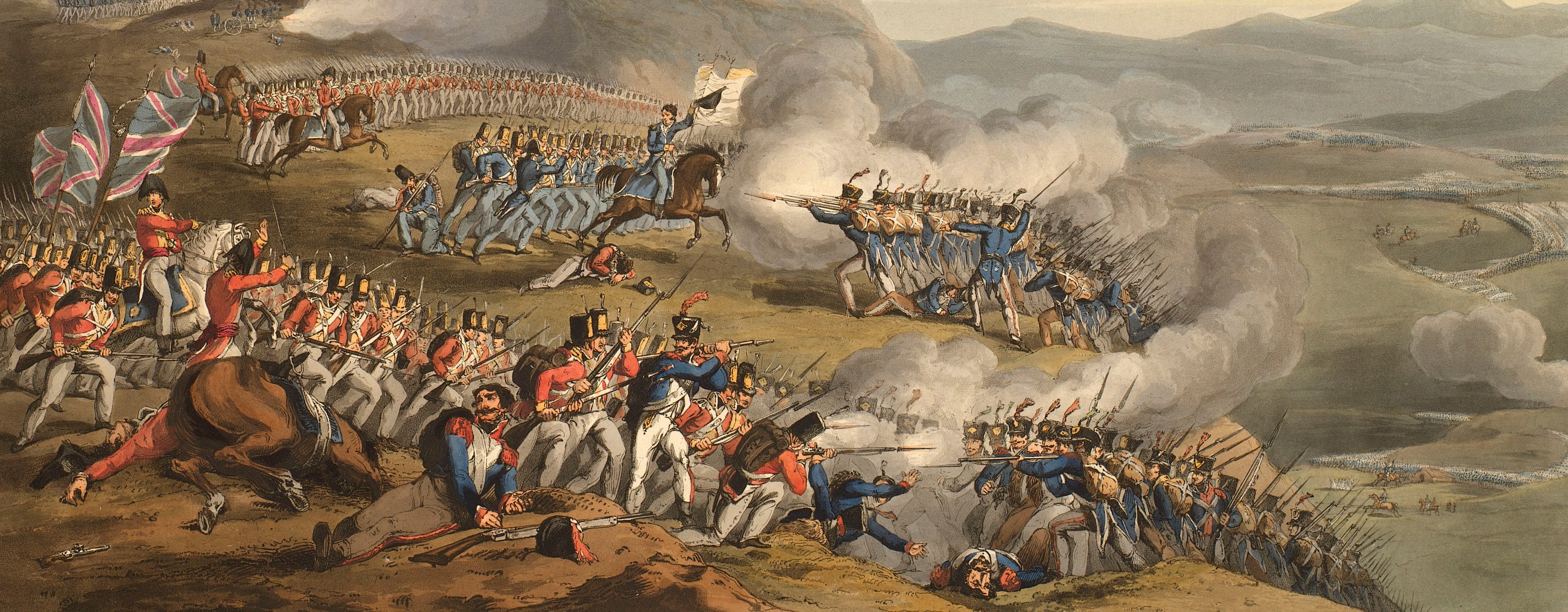
Views of naval engagements and maps of battles
Map of the Battle of Albuera, 1811 (La Albuera, Extremadura, Spain) 38°43'04"N 06°49'23"W
published 12 Aug 1811Etching and engraving and letterpress text printed on the same sheet of paper; hand coloured | Scale: 1:14,630 approx. | RCIN 735166
This map is based on the lithographed map which was printed, together with letterpress explanatory press, on 21 June 1811 by the Quarter Master General's Office, Horse Guards. [A copy of the lithographed map is at RCIN 712621, but is not part of the original K.Mil. collection.
Additional text: [left, down left side of map, a detailed account of the positions of the troops, and a list of the British regiments; letterpress:] Reference to the PLAN of the BATTLE of ALBUERA, gained by / the ALLIED ARMY, under the Command of MARSHAL SIR / WILLIAM BERESFORD, K.B. May 16, 1811.
For further reading, see:
G.L. Teffeteller, 'Beresford, William Carr, Viscount Beresford (1768–1854)', Dictionary of National Biography, 2004; online edition 2011.
Condition: one fold line; 2.5 cm tear to bottom left edge. Verso: induced discolouration.
William Faden (1 July 1749-21 March 1836) (publisher) [bottom right, below title:] Published with Permission of the / QUARTER MASTER GENERAL, / by W. Faden Geographer to His Majesty and to His Royal Highness the Prince / of Wales Charing Cross Aug.t 12.h 1811.
Subject(s)
Army-GBArmy-PortugalArmy-SpainArmy-FranceWatermark: E & P 1805
Condition: one fold line; 2.5 cm tear to bottom left edge. Verso: induced discolouration
Scale: 1:14,630 approx. Scale bar: [110 mm =] 1 Mile.
34.9 x 48.1 cm (neatline)
35.5 x 62.2 cm (image)
37.8 x 50.2 cm (platemark)
47.9 x 68.0 cm (sheet)
Printed title:
BATTLE of ALBUERA / May 16,,th 1811. [bottom right]
Additional text:
[left, down left side of map, a detailed account of the positions of the troops, and a list of the British regiments; letterpress:] Reference to the PLAN of the BATTLE of ALBUERA, gained by / the ALLIED ARMY, under the Command of MARSHAL SIR / WILLIAM BERESFORD, K.B. May 16, 1811.
Annotations:
George III heading: Battle of Albuera 16 May 1811.
Other annotations: none.
George III catalogue entry:
Albuera A Plan of the Battle of Albuera gained by the Allied Army under the command of Marshal Sir William Beresford, over the French Army commanded by Marshal Soult, on the 16.th of May 1811: published by Faden, 1811.
Subject(s)
La Albuera, Extremadura, Spain (38°43'04"N 06°49'23"W)
Bibliographic reference(s)
G.L. Teffeteller, 'Beresford, William Carr, Viscount Beresford (1768–1854)', Dictionary of National Biography, 2004; online edition 2011.
Page revisions
3 November 2024
Current version


