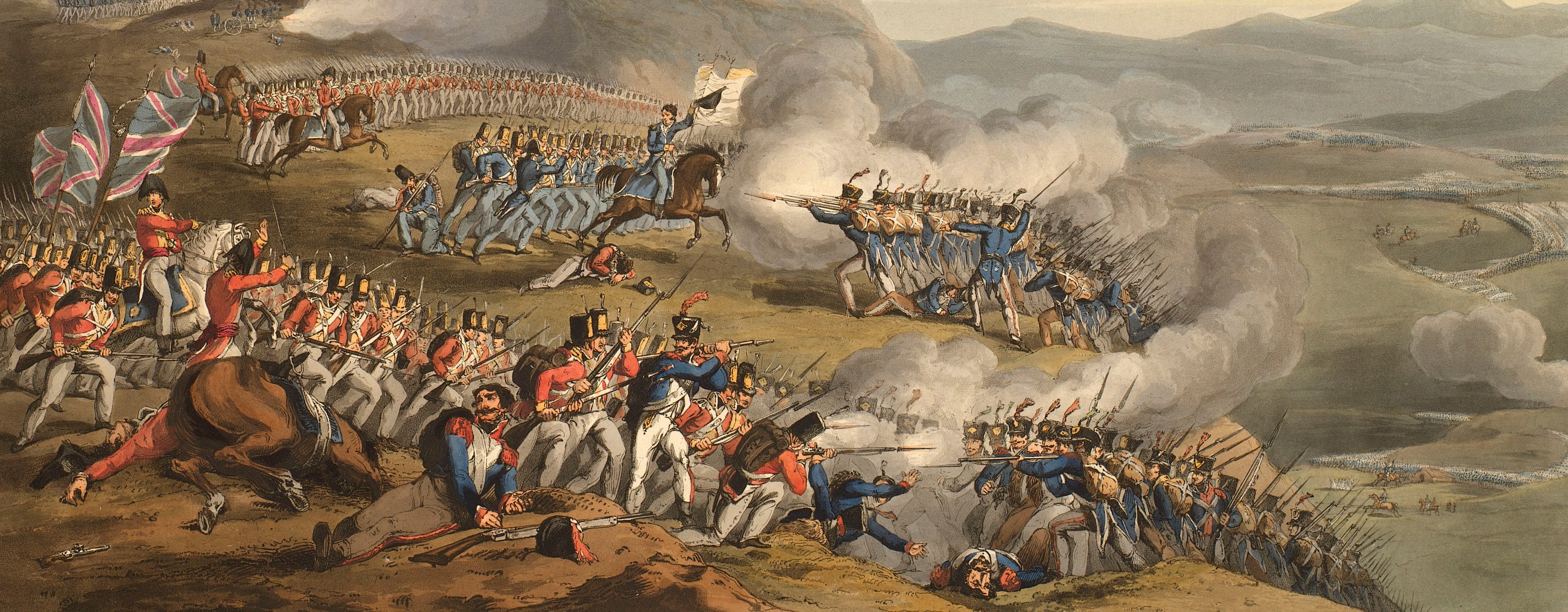
Views of naval engagements and maps of battles
Map of the siege of Ciudad Rodrigo, 1812 (Ciudad Rodrigo, Castille and Léon, Spain) 40°36'00"N 06°32'00"W
published 4 Jun 1812Etching and engraving; printed on paper; hand coloured | Scale: 1:7,142. | RCIN 735171
The siege of Ciudad Rodrigo by the Allied British-Portuguese army resulted in their capturing the fortress from the French garrison commanded by Brigadier General Baron Barrié. Based on materials from the Quarter Master General's Department.
Additional text: [bottom, below map, in two columns of engraved text:] Remarks 1812, [and] References [and] Note.
Condition: one fold line. Verso: induced discolouration.
William Faden (1 July 1749-21 March 1836) (publisher) [top left, below title:] Published by W. Faden, Geographer to His Majesty, / and to His Royal Highness the Prince Regent; / Charing Cross, June 4.th 1812.
Samuel John Neele (1758-1824) (engraver) [bottom right, below edge of border:] Neele Sculp.t
Subject(s)
Army-GBArmy-PortugalArmy-FranceWatermark: G JONES 1808
Condition: one fold line. Verso: induced discolouration
Scale: 1:7,142. Scale bar: Scale of English Yards [64 mm =] 500.
30.0 x 37.0 cm (neatline)
37.6 x 37.5 cm (image)
39.0 x 40.0 cm (platemark)
40.7 x 42.4 cm (sheet)
Printed title:
Plan / OF / CIUDAD RODRIGO, / describing its Siege by the Allied Army 1812 / General the Earl of Wellington / Commander in Chief. / By Permission of the Quarter Master General; [top left]
Additional text:
[bottom, below map, in two columns of engraved text:] Remarks 1812, [and] References [and] Note.
Annotations:
George III heading: Ciudad Rodrigo 8-19 Jan. 1812.
Other annotations: none.
George III catalogue entry:
Ciudad Rodrigo A Plan of Ciudad Rodrigo, invested by the Allied Army commanded by the Earl of Wellington, on the 8.th and carried by assault on the 19.th of January 1812: published by Faden, 1812.
Subject(s)
Ciudad Rodrigo, Castille and Léon, Spain (40°36'00"N 06°32'00"W)
Page revisions
3 November 2024
Current version


