Contemporary maps of 10 sixteenth-century wars
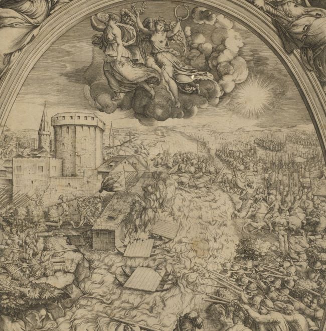
View of the siege of Poitiers, 1569 (Poitiers, Poitou-Charentes, France) 46°35ʹ00ʺN 00°20ʹ00ʺE
dated 1569Etching; printed on paper; laid down on paper; mounted on paper (Mount Type B) | 30.7 x 40.0 cm | RCIN 721049
A middle to high oblique view of Poitiers, commanded by Henry I, Duke of Guise (31 December 1550-23 December 1588), besieged from 24 July to 7 September 1569 by the Huguenot army, commanded by Admiral Gaspard II de Coligny (16 February 1519-24 August 1572), resulting in the abandonment of the siege by the Huguenots. France, Third War of Religion (1568-1570). Oriented with north (Tramontana) to top.
The siege of Poitiers lasted for six weeks. As this map/view shows, the Huguenots had little siege artillery and the town was protected on two sides by the rivers Claine and Boivre (not named). No approach was possible to the south-east where there was no protection from the higher flanking fire of the garrison. This map/view shows the occasion when the Huguenots aimed what cannon they had at the north-west wall of the town. When they broke through they found not only a second trench and line of defence, shown here, but also the massed forces of the garrison troops and were unable to make progress.
This impression appears to have been printed from a plate which was worn along the right side. The identification of the monogrammist as Marius Kartarius (Mario Cartaro) is made in the George III catalogue entry. The date for the siege of 1568, given in the George III catalogue and in the George III heading, is incorrect.
Mario Cartaro (active c.1540-1620) (engraver) [bottom left:] a monogram of the two initials ‘A’ and ‘V’ with a small ‘K’ in the centre, with the date, 1569, above
Subject(s)
Army-Duke of GuiseWatermark: A cardinal's hat [similar to Woodward 233]; on backing paper: a cross in ‘pear drop’ oval, three-pronged crown above, the letters ‘Α Ω’ and ‘m’ below
Condition: brown discolouration and staining from the adhesive used to lay the print down on paper; very worn with loss of image, bottom right; old tears and damage, bottom right, repaired by being laid down on paper before being mounted; no gilt edges
30.7 x 40.0 cm (image)
cropped (platemark)
32.9 x 44.8 cm (mount)
Printed title:
POETIER [no formal title; the name of the town is engraved in the centre of the town area]
Annotations:
George III heading: Poitiers besieged by Admiral Coligni and defended by Henry, Duke of Guise, 1568.
Other annotations: (Recto) [left, above old heading, black pencil, erased, draft old heading notes]. (Verso) [top left, across mount and map, the remains of a number written in red pencil, now cropped.]
George III catalogue entry:
Poitiers A Plan of Poitiers besieged by Admiral Coligne and defended by Henry Duke of Guise, 1568: by [monogram AVK] (Marius Kartarius) 1569.
Subject(s)
Poitiers, Poitou-Charentes, France (46°35ʹ00ʺN 00°20ʹ00ʺE)
Bibliographic reference(s)
C. Oman, A history of the art of war in the sixteenth century, London 1937, p.445
M. McDonald, The Print Collection of Cassiano dal Pozzo. Part II, Architecture, Topography and Military Maps, 3 vols, London 2019, cat. no. 2697
S. Carroll, Martyrs and Murderers: the Guise family and the making of Europe, Oxford 2011, p.187
Page revisions
25 May 2024
Current version


