Contemporary maps of 10 sixteenth-century wars
View of Thérouanne, 1553 (Thérouanne, Nord-Pas-de-Calais, France) 50°38ʹ13ʺN 02°15ʹ30ʺE
1553 or laterEtching with engraving; printed on paper; mounted on paper (Mount Type B); gilt edge to top | 22.9 x 31.8 cm (image and neatline) | RCIN 721018
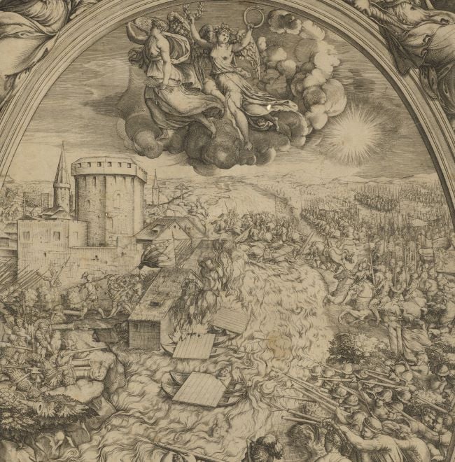
A view of the attack and bombardment of French-held Thérouanne by Charles V and the forces of the Holy Roman Empire in June 1553. The Last Valois-Habsburg War (1547-1559). Oriented with south to top (compass directions are named).
The tents of Charles V, two of which are decorated with the Habsburg double-headed eagle, are bottom left. The Imperial War Flag (a white cross on a red field) is carried by the Imperial forces. A single French standard with the fleur-de-lys, flies forlornly from the ramparts. The church of Thérouanne is half in ruins and the besieging batteries of cannon, interspaced with protective gabions, fire on the town. The infantry square in the foreground, right of centre, is in a typical formation of the day, with the core of the square being formed of pikemen and the outside by arquebusiers. A blank cartouche, bottom right, would have contained text.
The Count of Roeulx was ordered by Charles V to besiege Thérouanne in Artois. It was an ancient city but was razed to the ground, and has never since been rebuilt although a small suburb was left untouched and has become the present-day Thérouanne. The roads were broken up and the area was ploughed by order of the emperor.
A dispatch from Brussels dated 18 April to Edward VI gives a lively impression of the siege in its early days: ‘The Emperor’s troops are at Terouanne. Glasson, who was sent to survey it, reports that though the walls are severely battered, yet the ramparts are so strong and the inmates have been newly supplied with provisions, though not fully, the Imperialists will have to spend some time ere they come by that they seek. M. de Rieux, the General there, has the seven ensigns that were in Artois, the ten ensigns of Germans that were under Henry Vanolf, the ten that were under the Duke of Arschot, and the seven that were under M. de Turlon. The Spaniards hitherto at Cambray have joined him: these, including the Italians among them, are reckoned at about 4,000. He has also with him the battery which he used at Hesdin, augmented by several other pieces. The cavalry have not yet arrived, but are ordered thither as soon as possible.’
Anonymous (cartographer)
Watermark: Indistinct
Condition: one fold line; some foxing and staining; cropped to neatline; mount has been cropped
22.9 x 31.8 cm (image and neatline)
cropped (platemark)
24.3 x 34.8 cm (sheet)
Printed title:
HET BELECH VAN DE STADT VAN TERWANEN [in cartouche, top centre of view]
Annotations:
George III heading: Térouenne besieged and taken by Charles V. in 1553 - afterwards destroyed.
Other annotations: (Recto) [left edge, black pencil, erased: the old heading]. (Verso) [top right, on mount, black pencil, erased:] Terouane; [top left, across mount and print, red pencil:] 1/16.
George III catalogue entry:
Térouenne View of Terouenne besieged and taken by Charles V in 1553.
Subject(s)
Thérouanne, Nord-Pas-de-Calais, France (50°38ʹ13ʺN 02°15ʹ30ʺE)
Bibliographic reference(s)
C.M. Davies, History of Holland, from the beginning of the tenth to the end of the eighteenth century, London 1841, pp. 469-470
M. McDonald, The Print Collection of Cassiano dal Pozzo. Part II, Architecture, Topography and Military Maps, 3 vols, London 2019, cat. no. 2650
W. Turnbull (ed), Calendar of State Papers Foreign, Edward VI:1547-1553, London 1861, pp. 260-273
Page revisions
25 May 2024
Current version


