Ottoman-Habsburg Wars (1521-1791)
Images from eight wars fought between 1570 and 1718
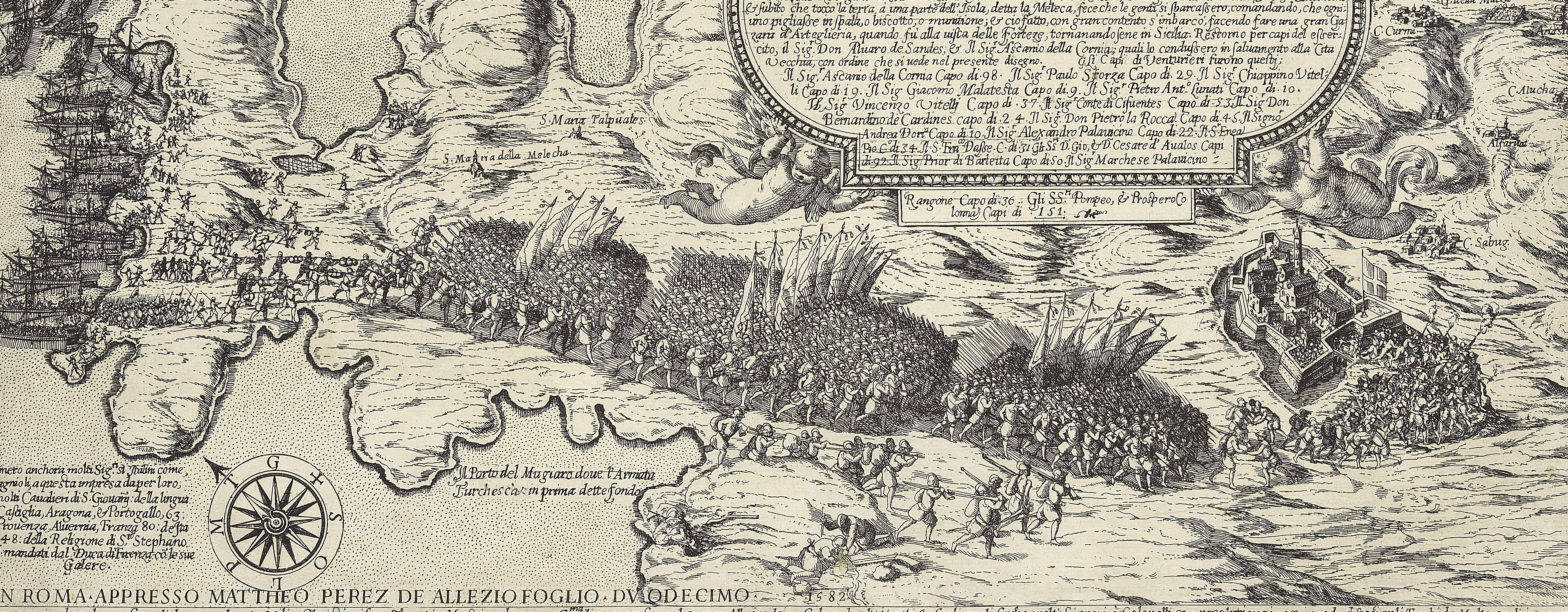
View of the siege of Malta, 1565 (Malta, independent political entity) 35°55ʹ00ʺN 14°26ʹ00ʺE
published 1565Etching with engraving; printed on blue paper; mounted on paper (Mount Type B); gilt edges left, bottom and right | 37.6 x 49.9 cm (image and sheet) | RCIN 721036
A high oblique view/map of the Great Siege of Malta between 18 May and 11 September 1565 carried on by the Turks, commanded by Kara Mustafa Pasha (c.1500-7 August 1580), and defended by the Knights of the Order of St John under Grand Master Jean Parisot de Valette (4 February 1495-21 August 1568), resulting in the abandonment of the siege by the Turks on the arrival of a Spanish fleet and army commanded by García Álvarez de Toledo, 4th Marquis of Villafranca (29 August 1514-31 May 1577). The Ottoman Empire (1500-1606): Conflicts in the Mediterranean (1532-1565). Oriented with north-east to top (the compass rose).
See notes to RCIN 721033.a-p.
Examples of this map appear in Lafreri atlases. The heights above sea level of strategic locations are given in Maltese Canne in the alphabetical key. A blank rectangular panel, top centre, may have been intended for text.
Antoine Lafréry (1512-77) (publisher) [top left, in title panel:] In Roma per Antonio Lafreri nel anno 1565. / Con gratia & priuilegio.
Subject(s)
Army-TurkeyNavy-TurkeyWatermark: Anvil and hammer in circle [similar to Woodward no. 230]
Condition: one fold line, the paper appears to be thinner along the area of the fold which may suggest the former presence of a guard; one fold line to mount, not coincident with the fold line of the map; four worm holes, the pattern of which suggests that they were made when the map was folded in half, probably in an atlas; brown discolouration; some surface dirt; impressions from the mount of an item which was kept below this map in a former sequence are present on the verso and more faintly apparent on the recto
37.6 x 49.9 cm (image and sheet)
cropped (platemark)
41.0 x 54.6 cm (mount)
Printed title:
Ritratto dallo istesso disegno mandato da Malta doue / sonno annotate per alphabeto le cose píu notabile. [Followed by a key,A-I, L-R] [top left, in a rectangular panel]
Additional text:
[bottom right, in a rectangular panel:] R / Dopo l hauer tirato li Turchi ... del presente mese di Giugno ... il valoroso Capitano Medrana spagnolo ...un' animosissima virtu.
Annotations:
George III heading: Malta 1565.
Other annotations: (Recto) [bottom right, black pencil:] 1565. (Verso) [top right, black pencil, erased:] Malta.
George III catalogue entry:
Malta A Plan of the Port of the Island of Malta, with the storming of the Castle of S.t Elmo by the Turks: by Antonio Lafreri; 1565.
Subject(s)
Malta, independent political entity (35°55ʹ00ʺN 14°26ʹ00ʺE)
Bibliographic reference(s)
M. McDonald, The Print Collection of Cassiano dal Pozzo. Part II, Architecture, Topography and Military Maps, 3 vols, London 2019, cat. no. 2683
R.V. Tooley, ‘Maps in Italian atlases of the sixteenth century, being a comparative list of the Italian maps issued by Lafreri, Forlani, Duchetti, Bertelli and others, found in atlases’, Imago Mundi III, 1939, pp. 12-47, no. 383
Page revisions
23 May 2024
Current version


