Ottoman-Habsburg Wars (1521-1791)
Images from eight wars fought between 1570 and 1718
View of the siege of Malta, 1565 (Malta, independent political entity) 35°55ʹ00ʺN 14°26ʹ00ʺE
published 1565Etching with engraving; printed on paper; mounted on four strips of paper (Mount Type B) | Scale: 1:102,000 approx. | RCIN 721035
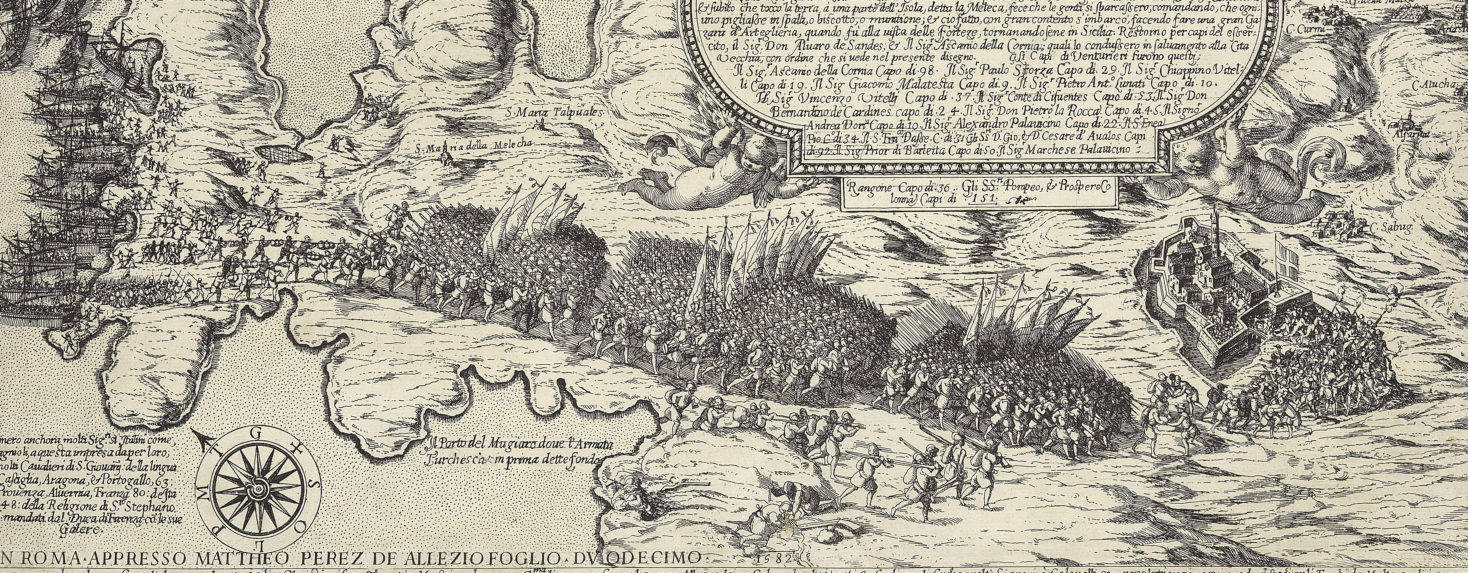
A high oblique view/map of the Great Siege of Malta between 18 May and 11 September 1565 carried on by the Turks, commanded by Kara Mustafa Pasha (c.1500-7 August 1580), and defended by the Knights of the Order of St John under Grand Master Jean Parisot de Valette (4 February 1495-21 August 1568), resulting in the abandonment of the siege by the Turks on the arrival of a Spanish fleet and army commanded by García Álvarez de Toledo, 4th Marquis of Villafranca (29 August 1514-31 May 1577). The Ottoman Empire (1500-1606): Conflicts in the Mediterranean (1532-1565). Oriented with north-east to top (the compass directions Tramontana, Levante, Mezzo-Giorno and Ponente are written to the edges of the map).
See notes to RCIN 721033.a-p.
The entry for this map in the Collection of Prints & Drawings of the Museum of Fine Arts (Budapest; inventory no.6703) attributes the engraving and etching of this map to Giovanni Ambrogio Brambilla (active 1575-99). Brambilla did engrave and etch the prints for Lafreri’s Speculum Romanae Magnificentiae and so it is possible that he was also responsible for this map. If so, that would change his floruit dates to 1565-1599.
Examples of this map appear in Lafreri atlases from which this copy may have been removed.
Antoine Lafréry (1512-77) (publisher) [top left, below key:] In Roma per Antonio Lafreri nel anno 1565. / Con gratia e priuilegio.
Subject(s)
Army-TurkeyNavy-TurkeyWatermark: On mount, cropped: mermaid in circle [see Woodward nos 88-92]
Watermark: On sheet: pascal lamb in circle
Condition: one fold line to map and mount, both coincident; mount made from four strips of paper; some brown discolouration. Verso: remains of old guard which was attached after the map was mounted; no gilt edges
Scale: 1:102,000 approx. Scale bar: Misura con la quale è misurato Lisola [109 mm =] 6 MIGLIA.
37.2 x 51.1 cm (image and neatline)
cropped (platemark)
37.5 x 51.3 cm (sheet)
41.2 x 55.5 cm (mount)
Printed title:
ISOLA DI MALTA [top centre, below neatline, in sea area]
Printed title:
Disegno dell Isola di Malta con li porti e forti, come / al presente si vede, cauato dalli disegni mandati da Malta / et insieme' del Campo de infideli dal quale hora si troua / assediata, e il tutto annotato per Alphabeto, [there follows a key, A-I, L-P] [top left, in rectangular panel]
Annotations:
George III heading: Malta 1565.
Other annotations: (Recto) none. (Verso) [bottom centre, on mount, red pencil:] 1/34.
George III catalogue entry:
Malta Disegno dell’Isola con li Porti et Forti come al presente si vede, cavato dalli disegni mandati da Malta et insieme del Campo de Infideli dal quale hora si trova assediata: per Antonio Lafreri, 1565.
Subject(s)
Malta, independent political entity (35°55ʹ00ʺN 14°26ʹ00ʺE)
Bibliographic reference(s)
M. McDonald, The Print Collection of Cassiano dal Pozzo. Part II, Architecture, Topography and Military Maps, 3 vols, London 2019, cat. no. 2682
R.V. Tooley, ‘Maps in Italian atlases of the sixteenth century, being a comparative list of the Italian maps issued by Lafreri, Forlani, Duchetti, Bertelli and others, found in atlases’, Imago Mundi III, 1939, pp. 12-47, no. 360
Page revisions
25 May 2024
Current version


