Ottoman-Habsburg Wars (1521-1791)
Images from eight wars fought between 1570 and 1718
View of the siege of Malta, 1565 (Malta, independent political entity) 35°55ʹ00ʺN 14°26ʹ00ʺE
published 1565Etching with engraving; printed on paper; mounted on paper (Mount Type A); gilt edge, right | 31.7 x 42.6 cm (image and sheet) | RCIN 721034
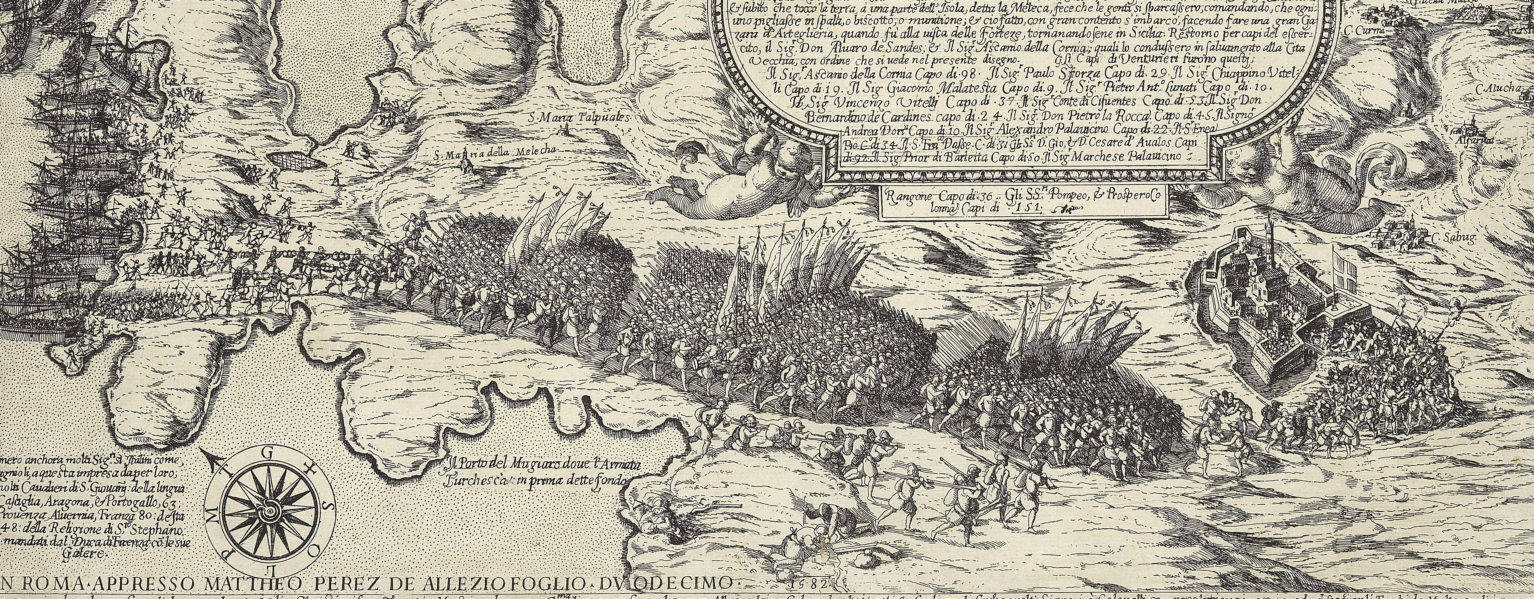
A high oblique view of the Great Siege of Malta between 18 May and 11 September 1565 by the Turks, commanded by Kara Mustafa Pasha (c.1500-7 August 1580), and defended by the Knights of the Order of St John under Grand Master Jean Parisot de Valette (4 February 1495-21 August 1568), resulting in abandonment of the siege by the Turks on the arrival of a Spanish fleet and army commanded by García Álvarez de Toledo, 4th Marquis of Villafranca (29 August 1514-31 May 1577). The Ottoman Empire (1500-1606): Conflicts in the Mediterranean (1532-1565). Oriented with north (TRAMONTANA) [actually, north-east] to top.
See also the notes to RCIN 721033.a-p. The coast of Sicily is drawn above the title, top centre.
The partial erasure of earlier cartouche text, bottom right, indicates that the plate has been altered or re-used. The partial coastline of a previous image on this plate can be seen meandering along the left side of the island, together with the outlines of other islands to the left. An example of a later state, updated to 21 September 1565, with the addition of the imprint of Gaspar Albertus, is preserved in the Library of the Order of St John (LDOSJ 1309).
Pietro Paolo Palumbo (active 1563–?1586) : Rome (publisher) [bottom left:] Palumbi Nouarien curabant Romæ 1565 cú priuilegio
Ascanio Palumbo (active 1559-65) (publisher)
Subject(s)
Army-TurkeyNavy-TurkeyWatermark: Peacock in circle [similar to Woodward nos 84 and 85]
Condition: two fold lines; one fold line to mount, not coincident with the print fold line brown with age; old repair to tear, left; small hole, bottom centre. Verso: brown staining
31.7 x 42.6 cm (image and sheet)
cropped (platemark)
38.7 x 51.9 cm (mount)
Printed title:
NVOVO ET VERISSIMO RITRATTO DEL ISOLA DI MALTA [top, in a panel]
Additional text:
[right, in a cartouche:] Descrittione da un luoco al altro [bottom right, in a cartouche:] Recognita per Milites ordinis / Sti Johánis iusta tenorem / litterarum nouiter receptarum. / Vltima stápa recorretta da tutte l'altre / gia fatte fin a questo di 4 di Luglio 1565.
Annotations:
George III heading: Malta 1565.
Other annotations: (Recto) none. (Verso) [top left, on mount, black pencil:] II/38g; [top left, red pencil:] 1/36.
George III catalogue entry:
Malta A Plan of the Island of Malta with the Attacks of the Turks in 1565. Palumbi Novarien fecit, 1565.
Subject(s)
Malta, independent political entity (35°55ʹ00ʺN 14°26ʹ00ʺE)
Bibliographic reference(s)
M. McDonald, The Print Collection of Cassiano dal Pozzo. Part II, Architecture, Topography and Military Maps, 3 vols, London 2019, cat. no. 2681
R. Mason and P. Willis, Maps of Malta in the Museum and Library of the Order of St John A short catalogue, London 1989, no. 6
R.V. Tooley, ‘Maps in Italian atlases of the sixteenth century, being a comparative list of the Italian maps issued by Lafreri, Forlani, Duchetti, Bertelli and others, found in atlases’, Imago Mundi III, 1939, pp. 12-47, no. 379
Page revisions
25 May 2024
Current version


