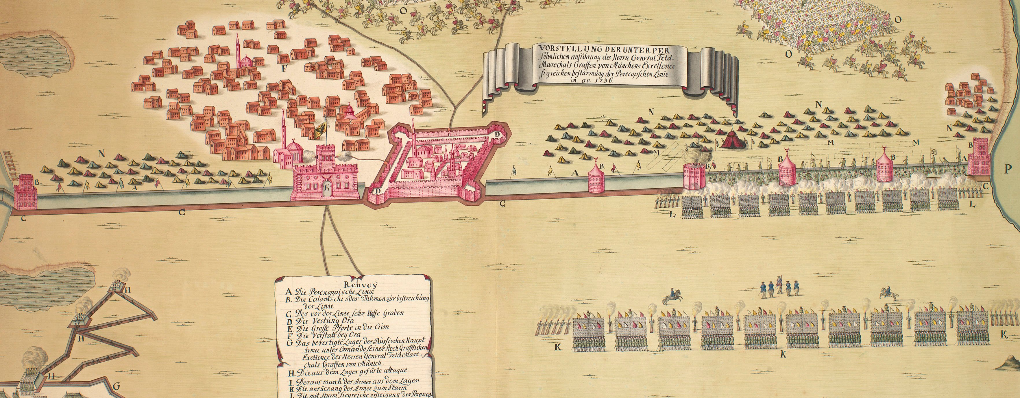
The wars of 1735–9, 1768–74 and 1787–92
Bosanska Dubica, 1788 (Bosanska Dubica, Republika Srpska, Bosnia Herzegovina) 45°10'36"N 16°48'34"E
published 1788Etching and engraving; printed on paper; hand coloured | 33.3 x 42.0 cm (image) | RCIN 734105.f
A view of Austrian and Turkish Dubica showing the positions of the two armies during the five-month-long siege of the fortress of Dubica in 1788. Russo-Turkish War (1787-92); Austro-Turkish War (1787-91). Oriented with south to top. This is one of a set of images comprising RCINs 734105.a-o. For more information on the composition of this set, see RCIN 734105. The explanatory text to this view is at RCIN 734105.e.
This action took place at present-day Bosanska Dubica (Turkish Dubica) on the south side of the River Una, and Hvratska Dubica (Austrian Dubica) on the north side of the river. The action is described in a document, dated 2003, on the harem of the town mosque by the Bosnia and Herzegovina Commission to Preserve National Monuments. It cites the 'Bosnian pashaluk', dating from the 1620s, which states that the fortress of Dubica (now Bosanska Dubica) was a town of little importance with about ten houses within and some forty houses outside the fort. It had come under Ottoman rule in 1538. The Commission's report further states that 'during the 1788 war between the Ottoman Empire and Austria, the Austrian army, commanded by General Laudon occupied Dubica which then had a few houses and a mosque.' A tall tower surmounted by a sickle can be seen in this view in the fortress here described as 'Turkish Dubicza', identified by the letter 'c'. Further, the Commission's report refers to this place as 'Kozarska Dubica' which is another name by which the town is known.
Carl Schütz (1745-1800) (draughtsman) [bottom left, below edge of view:] Gezeichnet von C: Schütz 1789.
Christian von Mechel (1737-1817) (publisher) [bottom right, below edge of view:] Herausgegeben durch Chr: von Mechel in Basel; [bottom centre, below text:] Cum Pivilegio.
Subject(s)
Army-RussiaArmy-TurkeyArmy-AustriaWatermark: Fleur-de-lys in crowned shield; countermark: D & C BLAUW
Condition: no fold lines
28.6 x 42.0 cm (neatline)
33.3 x 42.0 cm (image)
very faint or cropped (platemark)
38.0 x 49.5 cm (sheet)
Printed title:
PROSPEKT VON KAYSERLICH UND TÜRKISCH DUBICZA, / in Croatien an dem Unna Fluß gelegen, / mit der Vorstellung wie d: 9 Augst m:t 1788 das Türckische Lager von den unter den Befehlen S.r Exc.z des Herrn / F: Zeugm.s Freiherrn de Vins stehenden K:K: Truppen angegriffen und geschlagen wurde, worauf sodann / folgenden 26 Au.m sich die Festung an des comand.n H.n F:M: Freiherrn von Laudon Exc.z auf Discretion ergab. // VUE DE DUBICZA AUTRICHIEN ET DE DUBICZA TURC, / sur l’Unna, en Croatie, / avec la Représentation de l’Attaque du Camp Turc par les Troupes Autrichienes aux ordres de S:E: M.r le Général / d’Artillerie Baron de Vins, ainsi que de la défaite des Turcs, le 9 Août 1788, à la suite de la quelle la Place se rendit à discretion / le 26. du mème mois à S:E: M.r le Feld Maréchal Baron de Loudon, Commandant en Chef de l’Armée de Croatie. [bottom, below view, in German and French]
Annotations:
None
George III catalogue entry:
Turky Cinq Tableaux des Evenemens les plus memorables de la Guerre actuelle des Autrichiens et des Russes contre les Turcs, depuis le 12 Oct.re 1787 jusqu’au 14 Oct.re 1788, et des places Turqués qui en ont eté le Theatre; dans une suite d’Estampes par Cassanova, Schutz et Dedovics; avec des Explications. Plan des deux Sieges du Fort de Dubicza par les Autrichiens en 1788; avec une Explication. Plan du Siege de la Fortresse d’Oczakow emportée par les Russiens le 17 Dec.re 1788: chez C. de Mechel, 1789, 1790. imperfect.
Subject(s)
Bosanska Dubica, Republika Srpska, Bosnia Herzegovina (45°10'36"N 16°48'34"E)
Page revisions
23 May 2024
Current version


