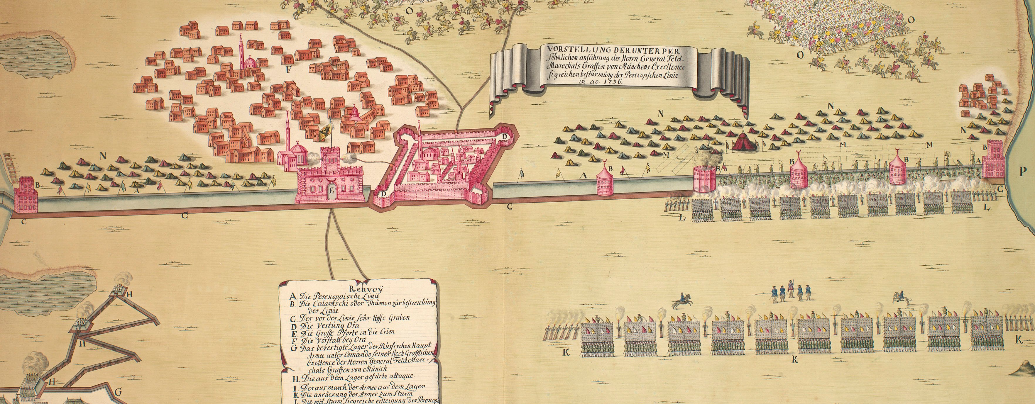
Russo-Turkish Wars
The wars of 1735–9, 1768–74 and 1787–92
Dresnik, Gradisca, Gradistie and Orsova, 1788
[Dresnik] 10 Febr 1788; Attaque der Obersten Grau und Quasdanovitch in Gradisca auf die Festung Berbir oder Türkisch Gradisca, den 13 Febr: 1788.; [Gradistie]; PLAN / von / ORSOWA ... 12 Febr: 1788
c.1790Etched maps with letterpress text printed on the same sheet of paper; hand-coloured | Scales: Dresnik 1:60,200 approx; Gradisca 1:23,000 approx; Gradistie 1:29,250 approx; Orsowa 1:29,500 approx. | RCIN 734104.3.c
This is one of fifteen numbered maps and views published by Trattnern relating to the Russo-Turkish War. See RCINs 734104.3.a-b, d-o.
Additional text: [bottom, below maps, in French; letterpress, a brief description and key to each of the four actions.]
Condition: flat, no fold lines.
Johann Thomas von Trattnern (1717-98) (publisher) [bottom right, below edge of border:] Wien bei T.E. v’ Trattnern K K Buch; [bottom right, below letterpress text:] CHEZ JEAN THOM. Nobl. de TRATTNERN, Impr. et Libr. de la Cour.
Watermark: None
Condition: flat, no fold lines
Scale: Scale bars: [Dresnik; 25 mm =] 2 Meile; 1:60,200 approx. [Gradisca; 24 mm =] 300 Klaffter; 1:23,000 approx. [Gradistie; 25 mm =] 400 Klaft:; 1:29,250 approx. [Orsowa; 31 mm =] 500 Klafter; 1:29,500 approx.
18.9 x 22.8 cm (neatline)
23.3 x 22.8 cm (image)
20.4 x 24.2 cm (platemark)
26.5 x 35.5 cm (sheet)
Printed title:
[Dresnik] 10 Febr 1788; Attaque der Obersten Grau und Quasdanovitch in Gradisca auf die Festung Berbir oder Türkisch Gradisca, den 13 Febr: 1788.; [Gradistie]; PLAN / von / ORSOWA ... 12 Febr: 1788. [four small maps engraved on one plate; comprising, left to right, top to bottom]
Printed title:
N: III. [top right, above edge of border]
Additional text:
[bottom, below maps, in French; letterpress, a brief description and key to each of the four actions.]
Annotations:
None
George III catalogue entry:
Turky Fifteen Plans of the Operations of the War in Turky between the Russians and Austrians and the Turks, from the 1.st of Oct.r 1787 to the 20.th of Dec.r 1788: by T.E. v. Trattnern.
Subject(s)
Drsnik, Opština Klina, Kosovo (42°36'22"N 20°36'03"E)
Gradišča, Občina Cirkulane, Slovenia (46°21'29"N 15°58'37"E)
Veliko Gradište, Central Serbia, Serbia (44°45'41"N 21°30'40"E)
Orsova, Mehedinţi, Romania (44°43'30"N 22°23'45"E)
Page revisions
14 March 2024
Current version


