The wars of 1735–9, 1768–74 and 1787–92
Map of Little Tartary and Crimea, 1736-7
1737 or laterEngraving; printed on paper; hand-coloured | Scale: 1:1,880,000 approx. | RCIN 728001.a
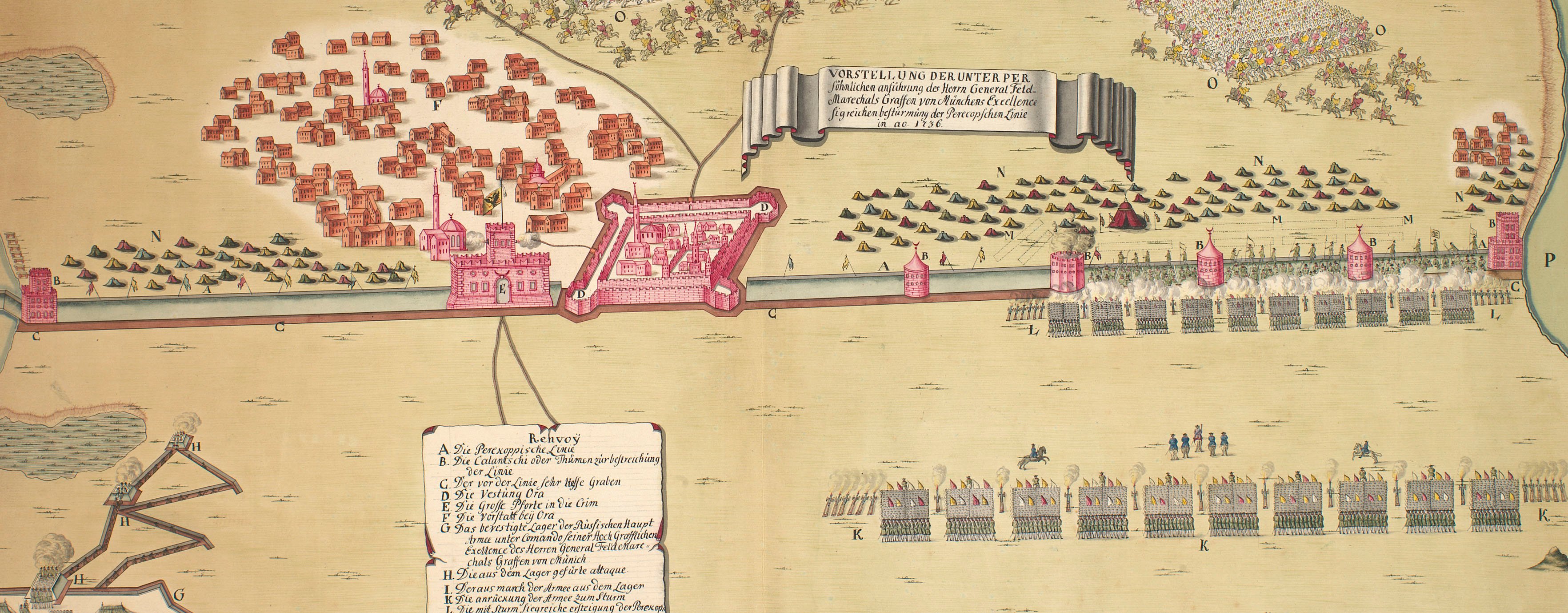
This map, and an accompanying larger-scale map of the Crimea with explanatory text (see RCINs 728001.b-d.), was compiled from manuscripts by the military cartographer Carl von Frauendorff, whose name appears on the larger-scale map. The march of the Russian army under the command of Field Marshal Burkhard Christoph von Munnich (1683-1767) is shown from the crossing of the Dnieper at Wlassowka (Vlasovka, Ukraine 49°06'54"N 33°16'53"E) to Ochakov (46°36'46"N 31°32'59"E), which his army took by storm on 2 July 1737. The rectangles which are used to represent the army are coloured in red and dark blue. Munnich's marches to and from the Crimea in 1736 are shown, together with the siege of Kinburn (on Kinburn Spit 46°34'0"N 31°31'00"E) by Russian troops, begun on 23 July, and other operational movements of the armies during 1736-7.
A copy of this map was published by J. Covens and C. Mortier in 1737 [BL Maps 35889.(4.)]
Condition: one fold line; some foxing.
Carl von Frauendorff (active 1736-7) (cartographer)
Russian Academy of Sciences, St. Petersburg (publisher) [bottom right, below title, in title cartouche:] Ex autographis in Acad : / Scunt: Petropol.
Subject(s)
Army-RussiaWatermark: Four anchors, intertwined
Condition: one fold line; some foxing
Scale: 1:1,880,000 approx. Scale bars: Scala Werstarum Ruthenicarum [59 mm = 104½]; Scala Milliariorum Germanicorum [59 mm =] 15.
46.3 x 65.6 cm (neatline)
48.4 x 67.6 cm (image)
50.2 x 69.5 cm (platemark)
53.0 x 71.5 cm (sheet)
Printed title:
THEATRUM BELLI / A.o MDCCXXXVII / a milite / AUGUSTAE RUSSORUM IMPERATRICIS / adversus Turcas Tattarosque / gesti. [bottom right, in rococo cartouche]
Annotations:
George III heading: Little Tartary and Crimea 1736 and 1737.
Other annotations: (Recto) none. (Verso) [bottom left, ink:] Vigor; [top right, black pencil:] 2; [bottom centre, black pencil:] 21; [bottom centre, black pencil:] IV/21; [bottom centre, black pencil, erased:] VIII/1; [bottom right, black pencil:] 14.
George III catalogue entry:
Tartary, Little Verus Chersonesi Tauricæ seu Crimeæ Conspectus adjacentium item Regionum. Itinerisque ab Exercitu Rutheno 1736 et 1737 adversus Tartaros suscepti; editus ex autographis Caroli a Frauendorff in Academia Petropolitana. Theatrum Belli a Milite Augustæ Russorum Imperatricis adversus Turcas et Tartaros 1737 gesti: ex autographis in Acad. Scient. Petropol. Explanations of the above Maps in Latin, Russian and German. 2 sheets. [The same entry appears under the heading Crimea.]
Subject(s)
Crimea
Page revisions
21 May 2025
Current version


