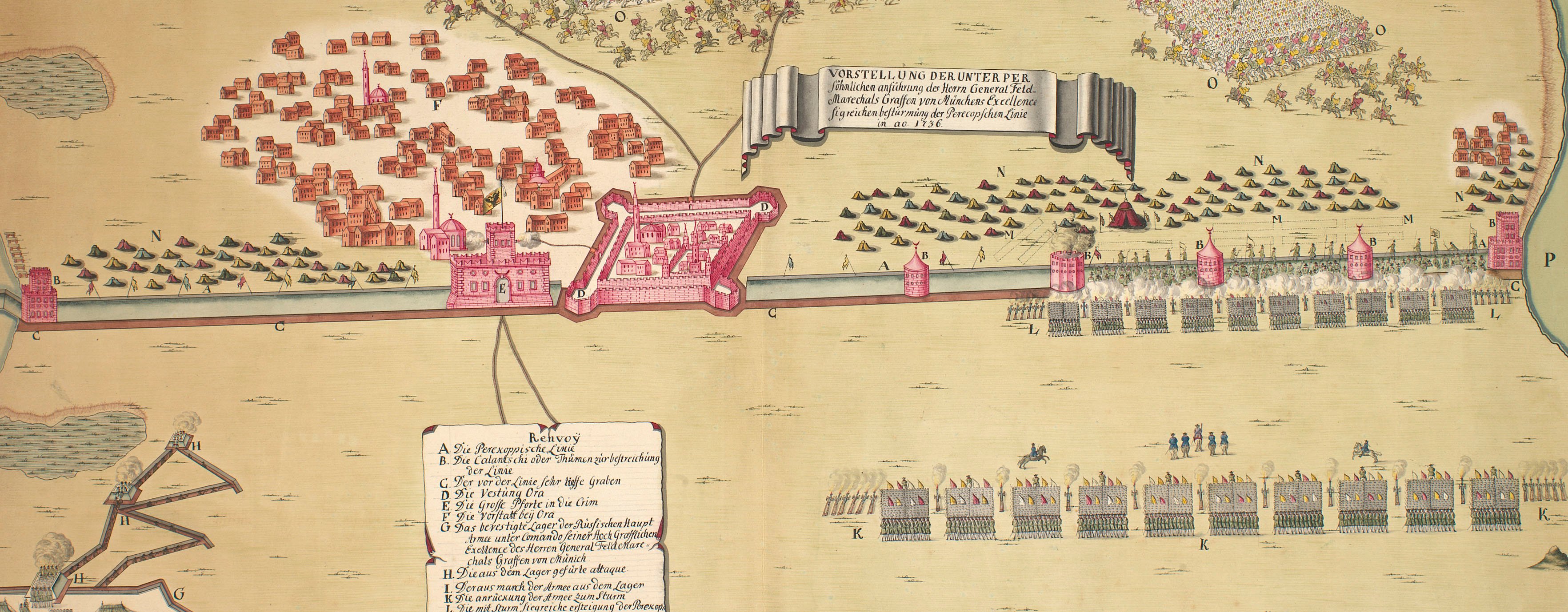
The wars of 1735–9, 1768–74 and 1787–92
Map of Ochakov, 1788 (Ochakov, Mykolayivs'ka, Ukraine) 46°36'46"N 31°32'59"E
c.1790Etching with letterpress text printed on the same sheet of paper; hand-coloured | Scale: not stated. | RCIN 734104.3.n
This is one of fifteen numbered maps and views published by Trattnern relating to the Russo-Turkish War. See RCINs 734104.3.a-m, o.
Additional text: [bottom, below the plan and view, a descriptive key, A-H, to the actions on 23 November, to 17 December, when Potemkin was in command of Ochakov fortress. Bottom, below engraved text, in French letterpress:] Plan et dessein du Siege de la Forteresse d'Oczakow qui fut prise d'assaut par les Russes le 17 Decembre 1788. [Followed by the same key as above.]
Condition: flat, no fold lines.
Johann Thomas von Trattnern (1717-98) (publisher) [bottom right, below engraved text:] Wien bei T.E. v’ Trattnern K.K. Buch:
Subject(s)
Army-TurkeyArmy-RussiaWatermark: None
Condition: flat, no fold lines
Scale: not stated. 1:100,000 approx.
17.0 x 22.7 cm (neatline)
23.3 x 23.5 cm (image)
21.1 x 25.6 cm (platemark)
26.9 x 36.1 cm (sheet)
Printed title:
CARTE / der / Belagerung / OTCHAKOW / Welche von den Russ: Kais: / Truppen des 17. December 1788 / mit Sturm erobert / wurde. [top left, in cartouche bordered by leaves]
Printed title:
N= XIIII [View and map; top right, above edge of border]
Additional text:
[bottom, below the plan and view, a descriptive key, A-H, to the actions on 23 November, to 17 December, when Potemkin was in command of Ochakov fortress. Bottom, below engraved text, in French letterpress:] Plan et dessein du Siege de la Forteresse d'Oczakow qui fut prise d'assaut par les Russes le 17 Decembre 1788. [Followed by the same key as above.]
Annotations:
None
George III catalogue entry:
Turky Fifteen Plans of the Operations of the War in Turky between the Russians and Austrians and the Turks, from the 1.st of Oct.r 1787 to the 20.th of Dec.r 1788: by T.E. v. Trattnern.
Subject(s)
Ochakov, Mykolayivs'ka, Ukraine (46°36'46"N 31°32'59"E)
Page revisions
4 June 2024
Current version


