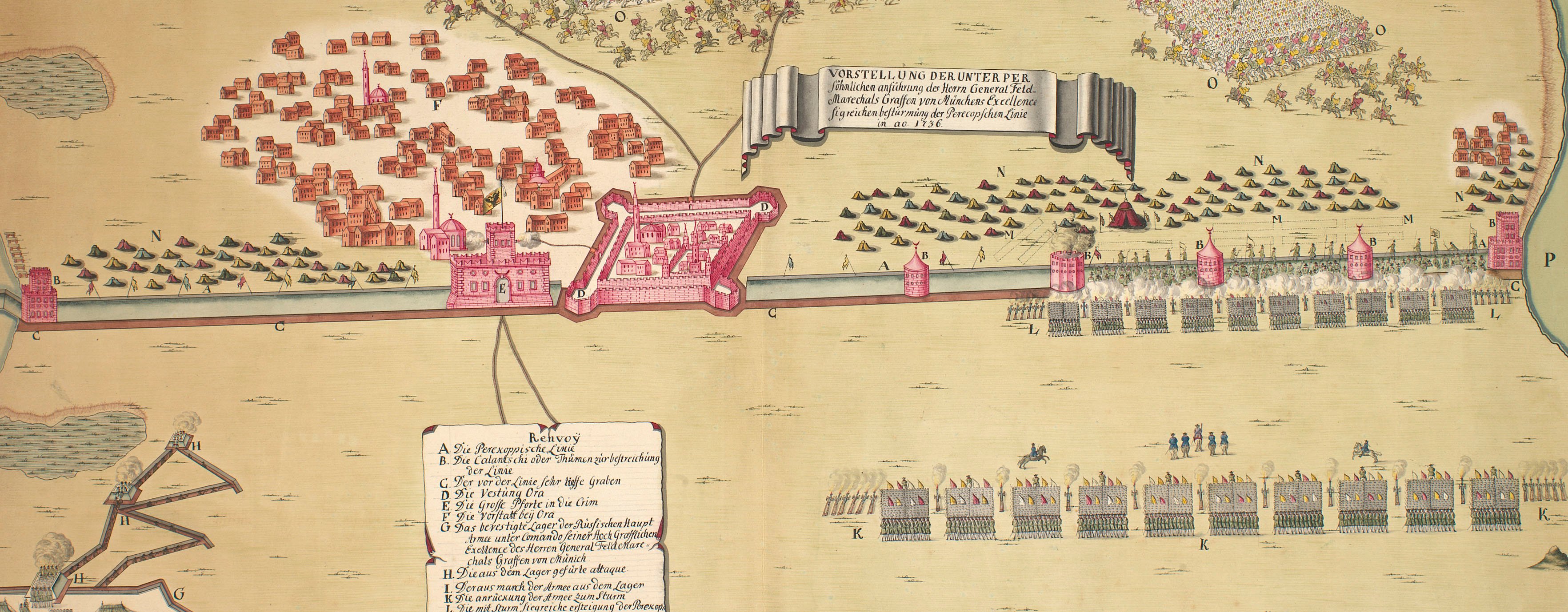
The wars of 1735–9, 1768–74 and 1787–92
Map of the Battle of the River Larga, 1770 (Moldova) 46°06'16"N 28°07'25"E
c.1770-79Etching and engraving with letterpress text printed within an engraved cartouche; printed on paper | Scale: 1:34,400 approx. | RCIN 733077
Additional text: [right, letterpress text within and engraved cartouche surmounted by the Imerial Russian eagle, with the cipher of Catherine II above, a key, A-I, K-M, to the actions and troop positions:] Erklärung der Buchstaben.
Condition: two fold lines.
Anonymous (draughtsman)
Subject(s)
Army-RussiaArmy-TurkeyWatermark: Strasburg bend and lily suspending a bell or beehive, the name C & I HONIG below; countermark: IV
Condition: two fold lines
Scale: 1:34,400 approx. Scale bar: Maastab [62 mm =] 2 Werste.
46.0 x 59.6 cm (neatline)
46.6 x 60.2 cm (image)
48.0 x 61.7 cm (platemark)
51.1 x 71.1 cm (sheet)
Printed title:
ΠЛАНЪ Движенїй Атаки и совер - / шенной … // PLAN des tapfern Angriffs und vollkom - / menen Sieges der Russisch Kayser - / lichen Waffen über die Turkische / und Tattarische Armée an der Large / in der Moldau den 7. Iulü 1770. [top left, in cartouche designed as a scroll, in Russian and German]
Additional text:
[right, letterpress text within and engraved cartouche surmounted by the Imerial Russian eagle, with the cipher of Catherine II above, a key, A-I, K-M, to the actions and troop positions:] Erklärung der Buchstaben.
Annotations:
George III heading: Battle of the Larga 7 July 1770.
Other annotations: (Recto) none. (Verso) [bottom, right of centre, black pencil, erased:] XVII/[?] 3; [bottom, right of centre, above old heading, black pencil, erased:] [?] 7 July 1770.
George III catalogue entry:
Larga Plan des tapfern Angriffs und vollkommenen Sieges der Russisch-Kayserlichen Waffen uber die Turkische und Tattarische Armée an der Large in der Moldau den 7 Julii 1770.
Subject(s)
Moldova (46°06'16"N 28°07'25"E)
Page revisions
3 November 2024
Current version


