The wars of 1735–9, 1768–74 and 1787–92
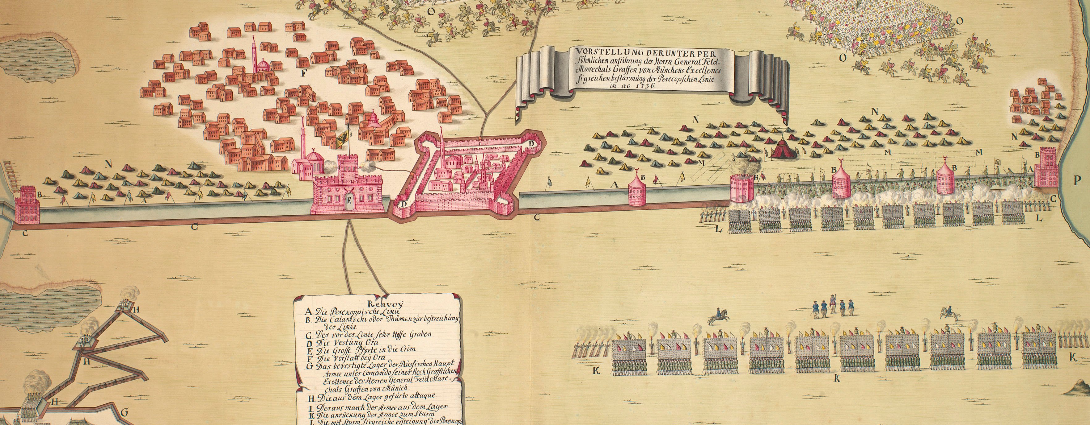
Map of the siege of Ochakov, 1788 (Ochakov, Mykolayivs'ka, Ukraine) 46°36'46"N 31°32'59"E
c.1789Etching and engraving; printed on paper; hand coloured | Scale: 1:17,200 approx. | RCIN 734105.o
A map of the siege of Ochakov by Russian troops under the command of Prince Potemkin, 17 December 1788. Russo-Turkish War (1787-92); Austro-Turkish War (1787-91).
Oriented with north-north-west to top (cardinal points). This is one of a set of images comprising RCINs 734105.a-o. For more information on the composition of this set, see RCIN 734105.
? Christian von Mechel (1737-1817) (publisher)
Subject(s)
Army-RussiaWatermark: Fleur-de-lys in crowned shield; countermark: H BLUM
Condition: no fold lines.
Scale: 1:17,200 approx. Scale bars: Echelle de 500 Sagenes ou Toises Russes faisant une Werste ou un quart de Lieue [62 mm =]; [62 mm =] 500 Sagenes oder Russische Klaffter (Toises) wo von 500. eine Werste aufmachen oder die Distanz einer viertel Stund.
41.4 x 31.8 cm (neatline)
43.5 x 32.3 cm (image)
47.6 x 37.1 cm (platemark)
49.7 x 38.5 cm (sheet)
Printed title:
PLAN DU SIEGE DE LA FORTERESSE D’OCZAKOW, AVEC LES DETAILS DE L’ASSAUT, / donné à cette importante Place, et dans lequel elle fut emportée, par l’Armée Russe aux ordres du Prince Potemkin, le 17. Décemb: 1788. [bottom left, in rectangular panel:] Plan der Belagerung / der Türckischen Haupt Vestung / OCZAKOW / wie solche den 17ten Christmonat des Jahrs 1788. durch / die Russisch Kaiserl. Armee unter den Befehlen / des Fürsten Gregor.s Alexandwicz Potemkin / mit Sturm erobert worden. [top, across top of map, above border]
Annotation:
None
Additional text:
[top right, a key a-i, k, l, 1-21, to the features on the large-scale map and the inset:] EXPLICATION DES RENVOIS [bottom left, below German title, the same key, a-i, k-l, in German.]
Inset:
[bottom right, in rectangular panel, a small-scale map of the mouth of the Dnieper showing Ochakov with the position of the surrounding Russian army, and Fort Kinburn on the Kinburn Peninsula.]
George III catalogue entry:
Turky Cinq Tableaux des Evenemens les plus memorables de la Guerre actuelle des Autrichiens et des Russes contre les Turcs, depuis le 12 Oct.re 1787 jusqu’au 14 Oct.re 1788, et des places Turqués qui en ont eté le Theatre; dans une suite d’Estampes par Cassanova, Schutz et Dedovics; avec des Explications. Plan des deux Sieges du Fort de Dubicza par les Autrichiens en 1788; avec une Explication. Plan du Siege de la Fortresse d’Oczakow emportée par les Russiens le 17 Dec.re 1788: chez C. de Mechel, 1789, 1790. imperfect.
Subject(s)
Ochakov, Mykolayivs'ka, Ukraine (46°36'46"N 31°32'59"E)
Page revisions
23 May 2024
Current version


