War of the Polish Succession (1733-8)
The Rhine and Moselle rivers and parts of Italy
Map of Klausen and the Moselle, 1735 (Klausen, Rhineland-Palatinate, Germany) 49°54ʹ00ʺN 06°52ʹ00ʺE
1735 or laterPencil, pen, ink and watercolour on two sheets of paper; laid down on coarse linen; edged with pink silk; one brass ring for hanging, top right; a brass ring is missing, top centre and top left; no linen ties | Scale: 1:41,000 approx. | RCIN 727076
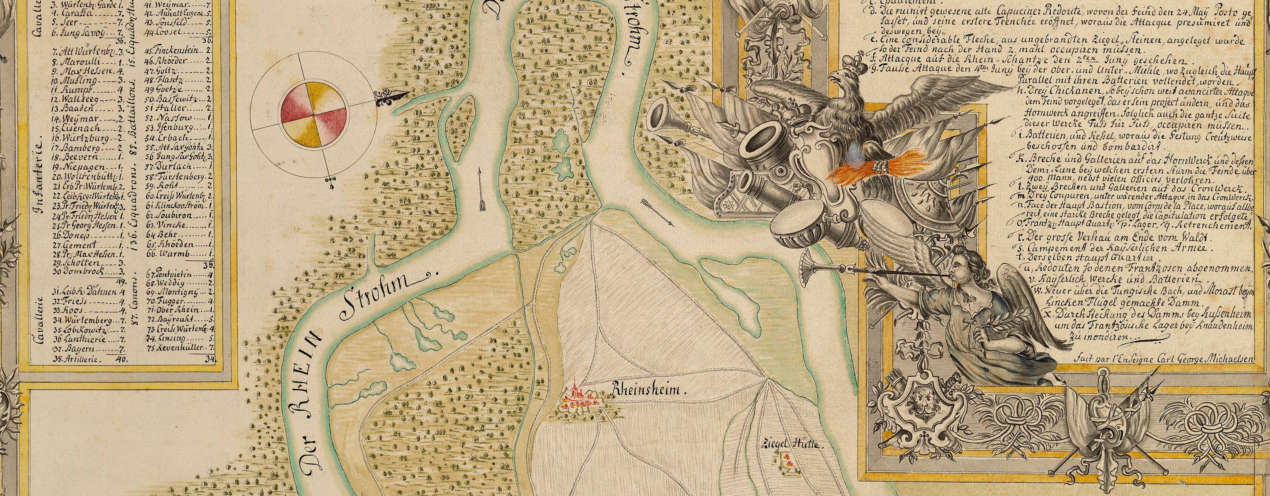
The attribution to Schultz is made on stylistic grounds. It is typical of his polished work, with elegant calligraphy, and painterly brushstrokes creating the third dimension, so that the minor undulations of the lower river terraces contrast with the steeper relief on the opposite banks. This is particularly well executed in the area of the Battle of Klausen, where the difficult terrain of the battlefield is shown to good effect.
The map extends from Montroyal (Mont Royal 49°58ʹ02ʺN 07°06ʹ39ʺE) in the north, upstream along the Moselle to Wasserbylich (Wasserbillig 49°42ʹ36ʺN 06°30ʹ01ʺE), just west of Trier (49°45ʹ20ʺN 06°38ʹ22ʺE).
The text to this map gives, in detail, an account of the marches and camps of the Imperial army. It describes the road from Traerbach to Berncastle, made by the French before the arrival of the Imperial army. This route does not exist today. In particular, the text refers to French ‘Chasseurs with rifled Pieces’, continuing that ‘twas from these with the rifled Pieces, that the Shots came that wounded Lord Primrose, and kill’d Count Nassau’ at the Battle of Klausen on 20 October.
Additional text: [along bottom of map, in irregularly-shaped panel, a key, 1-98, to the camps and movements of the Imperial and French armies, giving an account of the events between 9 October and 1 November 1735.] [Top left centre, a key to the colours and symbols used to identify the camps and atacks of the cavalry and infantry of both armies:] The Marks of the different Incampments and Attacks.
Condition: three fold lines; surface dirt, especially along left and right edges; two small tears to bottom edge. Verso: surface dirt.
? George Augustus Schultz (active 1734-49) (draughtsman)
Subject(s)
Army-ImperialArmy-AustriaArmy-FranceWatermark: None visible
Condition: three fold lines; surface dirt, especially along left and right edges; two small tears to bottom edge. Verso: surface dirt
Scale: 1:41,000 approx. Scale bar: A Scale of one German League [83 mm =].
62.7 x 190.2 cm (neatline)
63.6 x 191.0 cm (image)
65.2 x 192.3 cm (sheet)
Manuscript title:
A PLAN of the MARCHES, INCAMPMENTS and ATTACKS of the Imperial Army, / under Count Seckendorff’s Command, on the MOSEL, in the Year 1735. [bottom left, in irregularly-shaped panel]
Additional text:
[along bottom of map, in irregularly-shaped panel, a key, 1-98, to the camps and movements of the Imperial and French armies, giving an account of the events between 9 October and 1 November 1735.] The Marks of the different Incampments and Attacks. [Top left centre, a key to the colours and symbols used to identify the camps and atacks of the cavalry and infantry of both armies:]
Annotations:
George III heading: Moselle 1735 [bottom right, black pencil] Military. [bottom left, black pencil]
Other annotations: (Recto) none. (Verso) 1735 [top, left of right fold, black pencil]; 1735 [top right, red pencil]; 87 [possibly ‘80’ made into ‘87’ or ‘20’ made into ‘28’, and one other indecipherable mark] [bottom right, black pencil]; VII 76 Moselle. [bottom, left of centre, white label with ‘ROYAL LIBRARY’ and a crown printed in red, with, in blue biro in a modern hand]
K. Mil. dummy sheet:
Title ink: A drawn Plan of the Marches, Incampments and Attacks of the Imperial Army, under / Count Seckendorff's command, on the Mosel in the year 1735 [space] 2 sheets / A Roll … [black pencil:] 5 Table 2.d [At foot of page, old heading:] Encampments on the Moselle in 1735 [black pencil, in a modern hand:] Big: sep seq.
Watermark: BUDGEN & WILMOTT 1810.
Size: 47.0 x 32.6 cm (sheet).George III catalogue entry:
Moselle A drawn Plan of the Marches, Encampments and Attacks of the Imperial Army under Count Seckendorff’s command on the Moselle in 1735. 2 sheets. [in a later hand, black pencil:] MS. [The same entry appears under the heading Encampment.]
Subject(s)
Klausen, Rhineland-Palatinate, Germany (49°54ʹ00ʺN 06°52ʹ00ʺE)


