War of the Polish Succession (1733-8)
The Rhine and Moselle rivers and parts of Italy
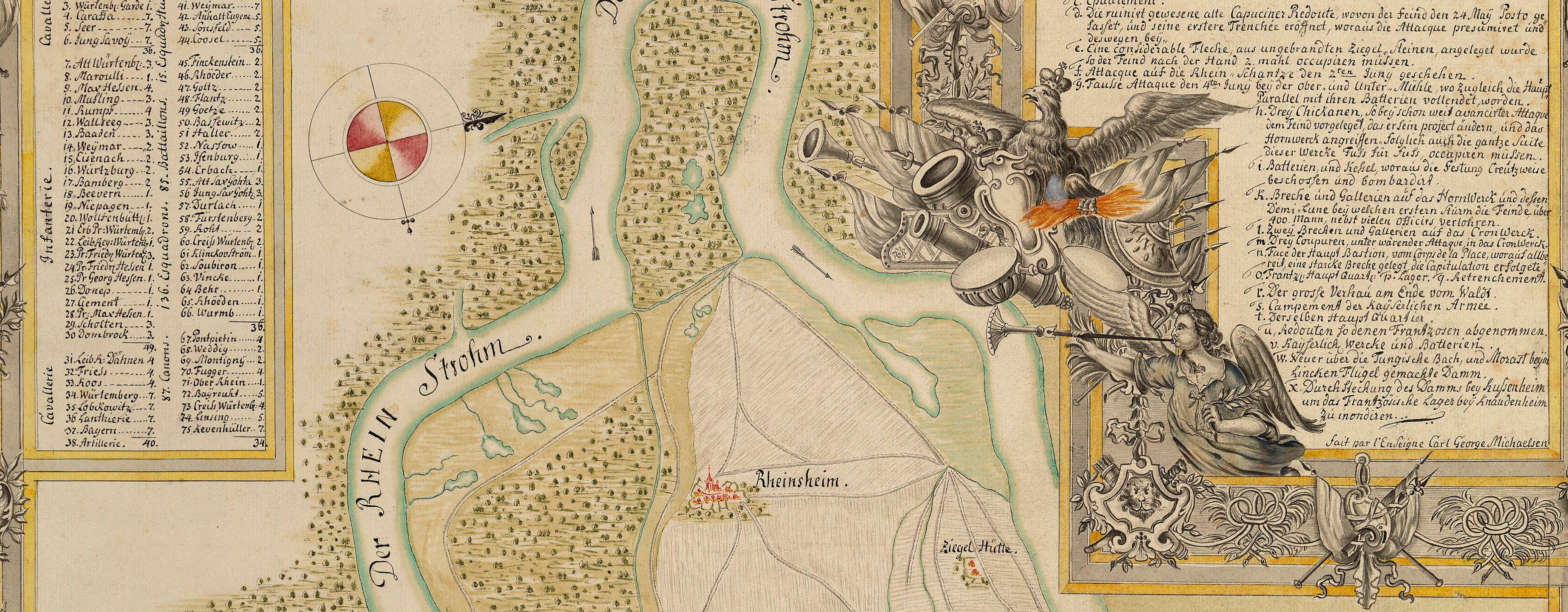
Philippsburg, Bruchsal, Ketsch and Mannheim, 1735 (Philippsburg, Baden-Württemberg, Germany) 49°13ʹ54ʺN 08°27ʹ39ʺE; (Bruchsal, Baden-Württemberg, Germany) 49°07ʹ27ʺN 08°35ʹ52ʺE; (Ketsch, Baden-Württemberg, Germany) 49°22
1735 or laterEtching and engraving; printed from two copperplates on two sheets of paper, joined [the joining points are marked by the engraved letters ‘A’ and ‘B’]; hand-coloured | Scale: 1:61,500 approx. | RCIN 727053
Additional text: [top, left of centre, a short note on the siege of Philippsburg, 23 May-18 July 1734:] Nota: [Bottom right, in rectangular panel, a note on the crossing of the Rhine by the French army on 3 May 1734 before their attack on the Ettlingen lines and the siege of Philippsburg:] Nota:
Condition: one fold line. Verso: right of bottom centre, shadow and ghosting from the removal of Cumberland's cipher label.
Homann's Heirs (1724-1848) (publisher) [Following on from title, in title panel:] Ausgefertigt in der Hommännl-Officin. / Mit allergn: Kaÿs: Privilegio.
Gustaf Friedrich Riecke (active 1734-5) (surveyor and draughtsman) [right of centre, to left of title panel:] G.F. Riecke / Fähndr. del.
Subject(s)
Army-FranceArmy-AustriaWatermark: A heart with the letters C H D inside, a large ‘4’ on top
Condition: one fold line. Verso: right of bottom centre, shadow and ghosting from the removal of Cumberland's cipher label
Scale: 1:61,500 approx. Scale bars: Mastab von 11000. Schritte, deren 5600. auf eine Stunde Wegs, jeden zu 2½. Frantz. Fus. [143 mm =]. Mastab von 21000. Frantz.Fuß, deren 14000. auf eine Stunde Wegs gehen. [109 mm =]
33.0 x 66.2 cm (image of left plate)
33.0 x 12.1 cm (image of right plate)
32.5 x 65.6 cm (neatline)
34.5 x 66.7 cm (sheet)
Printed title:
Vorstellung der LINIE u. INONDATION von / BRUCHSAHL bis Ketsch, woselbst die Inondation in Rhein / flieset u. ferner von da bis MANHEIM nebst denen Gegen = / den, u dem Campem. der Kayserl. u Reichs Armée 1735. Ingleichen von der Attaque PHILIPPSBURG, nebst den / dabey gemachten Fortificat. werckern, welche währender / Belagerung gemacht worden. [bottom right, in rectangular panel]
Additional text:
Nota: [top, left of centre, a short note on the siege of Philippsburg, 23 May-18 July 1734:] Nota: [Bottom right, in rectangular panel, a note on the crossing of the Rhine by the French army on 3 May 1734 before their attack on the Ettlingen lines and the siege of Philippsburg]
Annotations:
George III heading: Siege of Philipsbourg and Encampment in 1735.
Other annotations: (Recto) none. (Verso) [top right, black pencil, erased:] 1735; [bottom right, black pencil, erased:] B.b. 5.; [bottom right, black pencil:] 21; [bottom right, black pencil:] XIX; [bottom right, black pencil:] 3; [bottom centre, black pencil, erased:] Rhine Philipsbourg [...?] 1734; [bottom centre, black pencil:] 5.; [bottom centre, black pencil, crossed out in black pencil:] 1; [centre right, red pencil:] 5.
George III catalogue entry:
Philipsbourg Vorstellung der Linie und Inondation von Bruchsahl bis Ketsch, woselbst die Inondation in Rhein flieset und ferner von da bis Manheim nebst denen gegenden, und dem Campementen der Kayserl. und Reichs Armee, 1735: ingleichen von der Attaque Philipsbourg nebst den dabey gemachten Fortificat. Werckern, welche wahrender Belagerung gemacht worden 1734: von G.F. Riecke, ausgefertigt in der Homannl. Officin. [The same entry appears under the heading Encampment.]
Subject(s)
Philippsburg, Baden-Württemberg, Germany (49°13ʹ54ʺN 08°27ʹ39ʺE)
Bruchsal, Baden-Württemberg, Germany (49°07ʹ27ʺN 08°35ʹ52ʺE)
Ketsch, Baden-Württemberg, Germany (49°22ʹ04ʺN 08°31ʹ52ʺE)
Mannheim, Baden-Württemberg, Germany (49°29ʹ48ʺN 08°28ʹ46ʺE)


