Contemporary maps and prints of the major battles and sieges from 1635 to 1658
A view and map of the siege of Arras, 1654 (Arras, Nord-Pas-de-Calais, France) 50°17'34"N 02°46'54"E
published 1655Engraving and etching. Printed from 15 copperplates on 15 sheets of paper, joined; laid down on two pieces of coarse brown linen stitched together; edged with cerise silk ribbon, one pink linen tie to top edge [the other missing], three brass rings to top edge for hanging. | 174.4 x 204.2 cm (image and sheet) | RCIN 723105
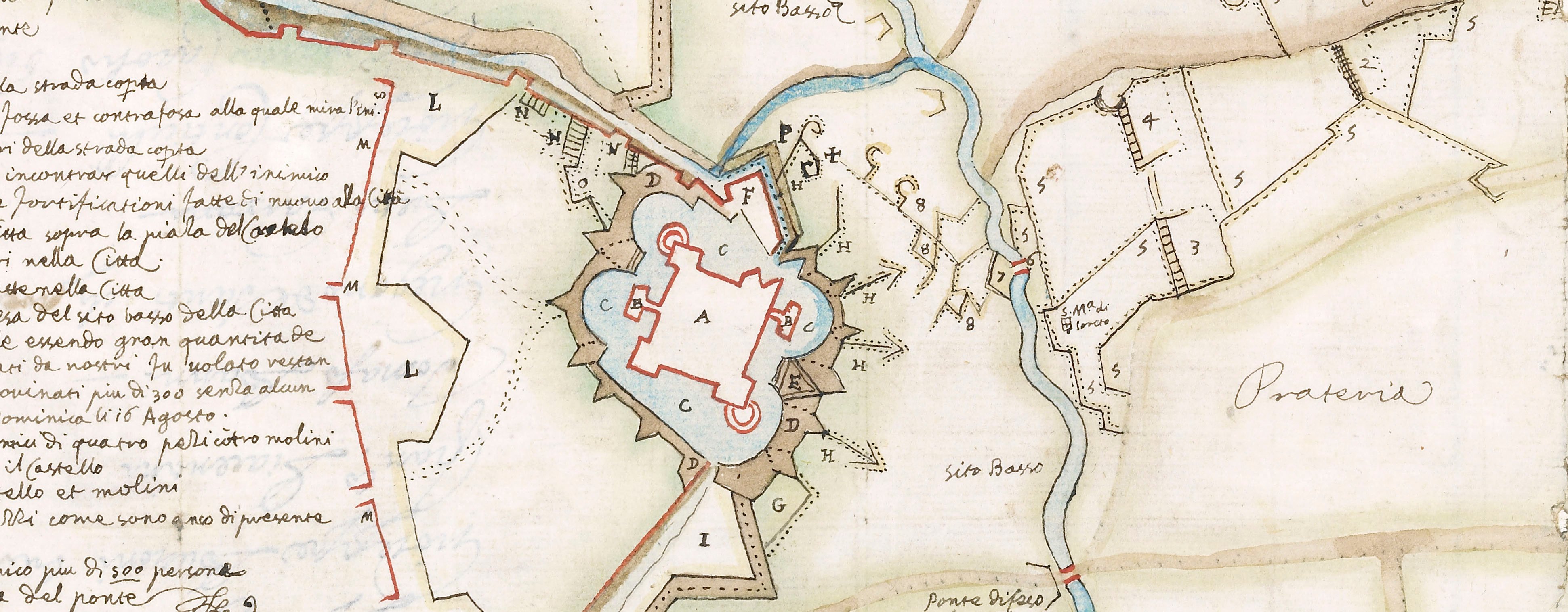
A high oblique view and map of Arras, besieged by the Spanish, commanded by Louis de Bourbon, prince de Condé (1621-86) from 3 July to 25 August 1654 who were defeated in battle on 25 August 1654 by a French relief army under Henri de la Tour d'Auvergne (1611-75) resulting in a French victory. Franco-Spanish War (1635-59). Oriented with north to top.
This example of the map lacks the engraved title which was apparently engraved on one plate and then cut up and pasted across the top of the top border. It also lacks the column of letterpress text, in French entitled 'ARRAS / SECOVRV PAR LARMEE / FRANCOISE, / LE IOVR DE S LOVIS / EN LANNE 1654 … ' which would have been pasted down the left side and the same text in Latin which would have been pasted down the right right side, with a further eight columns (two blank) of text pasted along the bottom border. An example in this format is in BnF, Cartes et Plans, Ge A 515 and is illustrated in Pelletier (2002 and 2014).
An example of the image, lacking the text and title and mounted on a screen, with the title panel on the back, can be seen at Yo please check (last accessed 13 October 2017). It should be noted that the word 'DEFAITE' in this title panel is spelled with two 'F's whereas the title across the BnF example, which may be taken from the same plate, contains only one 'F'.
d'Héricourt, writing about this map, notes that on 'Le 9 janvier 1657, de Beaulieu, ingénieur du roi, eut l'honneur de présenter à leurs Majestés, c'est à dire à la reine mère Marie Anne d'Autriche et à Louis XIV, à M. Philippe d'Orléans frère unique du roi et au cardinal Mazarin à Paris, le plan du mémorable siège d'Arras et du secours qui le fit lever, lequel avoit été desiné sur les lieux par ordre exprès du roi, qui, aussi bien que son éminence, témoigna que ce travail de la plus grande dépense et du plus curieux dessin qui se soit vu pour lors en son espèce, luiét fort agréable, et répondoit parfaitement au désir qu'il avoit eu de le voir ainsi achevé, depuis cette grande action si glorieuse à ses armes et si utile au repos de son état.
Condition: four modern fold lines.
Charles Nicolas Cochin (1688-1754) (engraver) [bottom centre, bottom centre of inset plan of the fortifications:] N. Cochin sculpsit.
Sébastien Pontault de Beaulieu (c. 1612-74) (surveyor and draughtsman) [bottom centre, bottom right of inset plan of the fortifications:] Dessiné sur les lieux par ordre / du ROY, et presenté à sa Majesté. / A Paris, Par le S.r de Beaulieu- / le Donjon, Ingenieur et Geographe / ord.re du Roy, et Ayde de ses Camps / et Armées. / Auec Priuilege 1655.
Jean Frosne (c.1620-after 1676) (engraver) [top centre, in the ribbon bottom right of the oval portrait of Louis XIV:] J frosne sc
Watermark: Not visible
Condition: four modern fold lines
174.4 x 204.2 cm (image and sheet)
Scale: Scale bar: Eschelle de 150 toises pour le Plan de la Ville et des Lignes [64 mm =]; 1:4,600 approx. Eschelle pour le profil des lignes [46 mm = 24] toises; 1:1,000 approx. Eschelle
Printed title:
LE · SIEGE · D’A / RRAS · LEVE · P / AR · LA · DEFFA / ITE · DES · ENN / EMIS.1654. [lacks title which was printed on a separate sheet]
Annotations:
George III heading [black pencil:] Arras 1654.
Other annotations: (Recto) none. (Verso) [bottom right, black pencil:] Arras I Table 1. P 1.st; [top centre, blue biro on 1980s red-printed Royal Library label:] III 105.
K. Mil. dummy sheet:
[Title, ink:] Plan et Vue du Siege d’Arras par le S.r de Beaulieu le Donjon 1655. 15 feuilles | A Roll …… [black pencil:] 1 Table 1.st. Old heading: Arras 1654. Watermark: fleur-de-lys in crowned shield, the scrolled letters and ampersand B&W below.
Measurements: 47.1 x 32.7 cm (sheet).George III catalogue entry:
Arras Plan et Vue du Siege d’Arras en 1654, par le S.r de Beaulieu le Donjon, 1655. 15 feuilles.
Subject(s)
Arras, Nord-Pas-de-Calais, France (50°17'34"N 02°46'54"E)
Bibliographic reference(s)
V. Meyer, ‘Sebastien Pontault de Beaulieu et la levee du siege d’Arras’, Nouvelles de l’estampe, 178, 2001
M. Pelletier, ‘L’ingénieur militaire et la description du territoire du XVIe au XVIIIe siècle’, in Cartographie de la France et du Monde de la Renaissance au Siècle des Lumières http://books.openedition.org/editionsbnf/1064 pp. 45-68. Published in hard copy, 2002, publication in OpenEdition Books, 2014
A. M. de Servin d’Héricourt, Les siéges d’Arras, histoire des expéditions militaires don’t cette ville et son territoire ont été le théatre, Arras 1844, p. 370
Page revisions
25 May 2024
Current version


