Contemporary maps and prints of the major battles and sieges from 1635 to 1658
A view of the siege of Arras, 1654 (Arras, Nord-Pas-de-Calais, France) 50°17'34"N 02°46'54"E
c. 1654Etching; printed on paper; laid down on paper and then mounted on paper (Mount Type B); gilt edge, bottom | 23.4 x 29.4 cm (image and sheet) | RCIN 723104
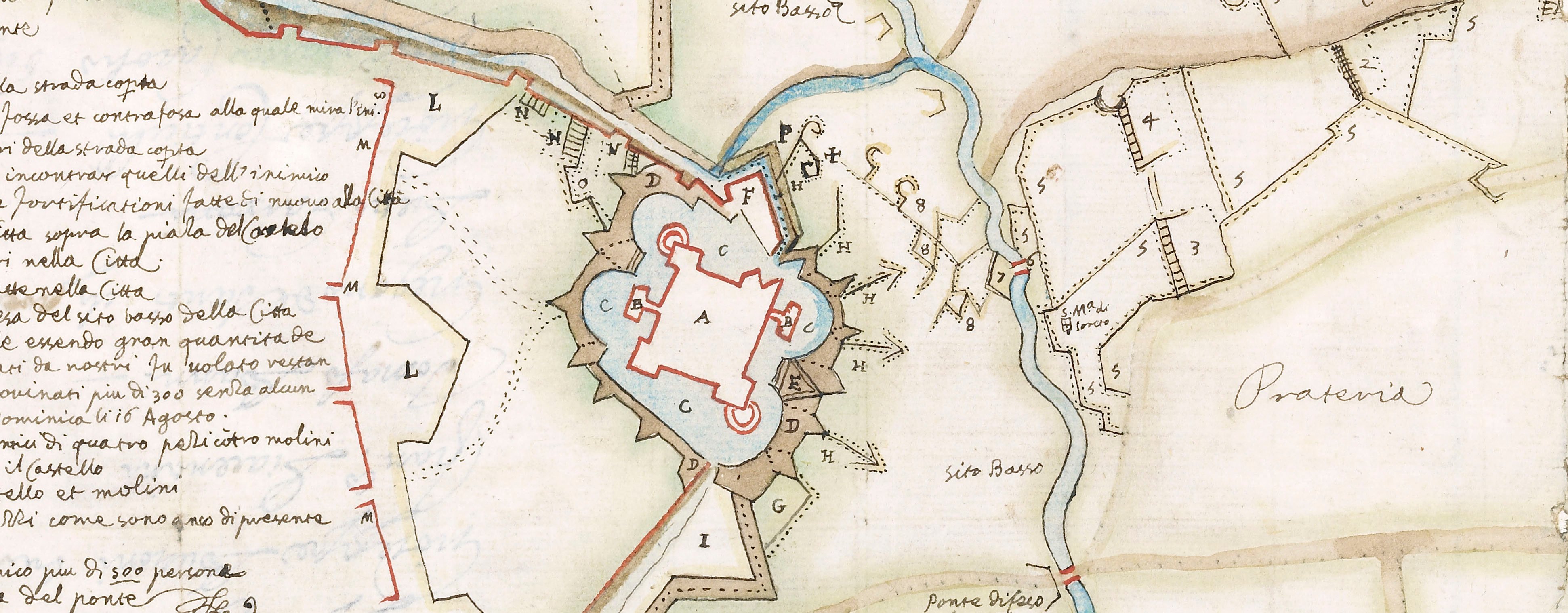
A high oblique view and map of Arras, besieged by the Spanish, commanded by Louis de Bourbon, prince de Condé (1621-86) from 3 July to 25 August 1654 who were defeated in battle on 25 August 1654 by a French relief army under Henri de la Tour d'Auvergne (1611-75) resulting in a French victory. Franco-Spanish War (1635-59). Oriented with north to top.
A blank rectangular panel, bottom left, may have been intended for further text. The positions of the besiegers' encampments, lines of circumvallation and other fortifications are shown together with surrounding settlements and the major road system. It is immediately apparent that, while the general orientation is to the north, the settlements to the west and south-west of Arras such as Ansin (Anzin-Saint-Aubin 50°18ʹ47ʺN 02°44ʹ50ʺE), Dienuille (Dainville 50°16ʹ55ʺN 02°43ʹ38ʺE) and Aigny (Agny 50°15ʹ36ʺN 02°45ʹ34ʺE) are shown to the east and south-east on this map, while settlements on the east and south-east of Arras, such as Athijs (Athies 50°18ʹ06ʺN 02°50ʹ15ʺE), Feuchi (Feuchy 50°17ʹ40ʺN 02°50ʹ36ʺE) and Fampen (Fampoux 50°18ʹ08ʺN 02°52ʹ18ʺE) are shown to the west and south-west of the town. The directions of the roads to Douay (Douai 50°22ʹ00ʺN 03°04ʹ00ʺE), Cambray (Cambrai 50°10ʹ00ʺN 03°14ʹ00ʺE), Lens (50°25ʹ59ʺN 02°49ʹ40ʺE), Béthune (50°32ʹ00ʺN 02°38ʹ00ʺE), Lilers (Lillers 50°33ʹ48ʺN 02°28ʹ50ʺE), S. Paulo (Saint-Pol-sur-Ternoise 50°22ʹ52ʺN 02°20ʹ03ʺE), and Bappames (Bapaume 50°06ʹ14ʺN 02°50ʹ59ʺE) are similarly displaced. This transposition of geographical places from left (west) to right (east) on the print is probably the result of an error made during the process of transferring a copy of a correctly positioned image from a drawing, or perhaps another print, to the copperplate. RCIN 723104 is a mirror image of, and the same size as, Pieter Verbiest's map of the same title which was published in Antwerp in 1654 (see Bibliothèque nationale de France, reference FRBNF40677395 last accessed 13 Oct 2017) and may have been copied from it.
Giovanni Giacomo de' Rossi (1627-91): Stampa alla Pace, Rome (publisher) [bottom right: Si Stampan e’uendono / In Roma alla pace da / Gio: Iacomo Rossi all’ / Insegna di Parigi
Pierre Miotte (active 1640-60) (etcher)
Subject(s)
Army-SpainWatermark: Map: indistinct. Backing paper: indistinct, three circles crown above, one above the other, top and bottom circles contain a cross. Mount: none.
Condition: brown discolouration from paste
23.4 x 29.4 cm (image and sheet)
cropped (platemark)
27.7 x 35.2 cm (mount)
Printed title:
Nouo Dissegno / Della Citta / D’ARRAS. / Assediata dell’ / Armata di S.M. / Cattolica A. di. 3 / Luglio. 1654. [top left, in cartouche]
Annotations:
George III heading: Arras 3 July 1654.
Other annotations: (Recto) [bottom, black pencil, in Yo Hodson’s hand, 1980s:] Petrus Miotte Burgundus. (Verso) none.
George III catalogue entry:
Arras Novo Disegno della Citta d’Arras, assediata dell’ Armata di S.M. Cattolica adi 3 Luglio 1654: da P. Miotte; appresso G.I. Rossi.
Subject(s)
Arras, Nord-Pas-de-Calais, France (50°17'34"N 02°46'54"E)
Bibliographic reference(s)
M. McDonald, The Print Collection of Cassiano dal Pozzo. Part II, Architecture, Topography and Military Maps, 3 vols, London 2019, cat. no. 3222
Page revisions
27 March 2025
Current version


