Contemporary maps and prints of the major battles and sieges from 1635 to 1658
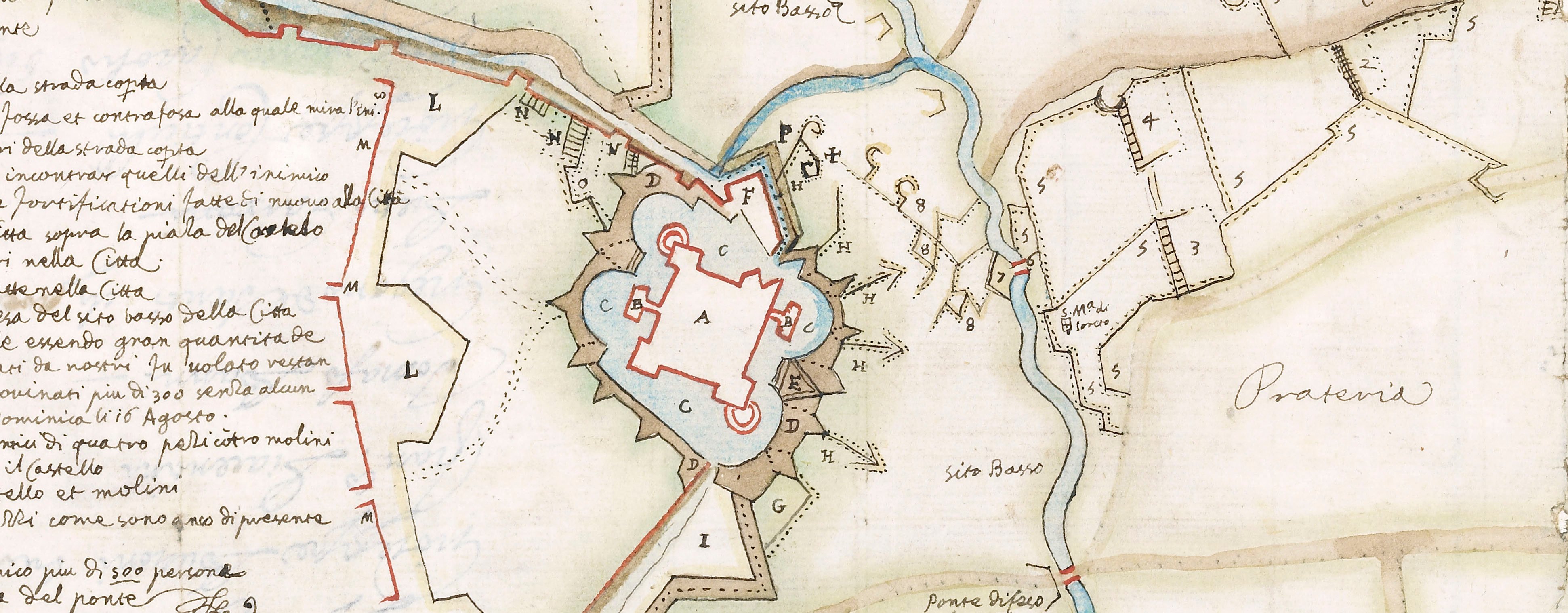
Map of Aire, 1641 (Aire-sur-la-Lys, Nord-Pas-de-Calais, France) 50°38'19"N 02°23'55"E
1641 or laterEtching; printed on paper and pasted to letterpress text printed on a separate sheet of paper; mounted on paper (Mount Type B); gilt edges top and right | 23.7 x 29.9 cm (image and sheet) | RCIN 723006
A map of Aire, defended by Charles de la Porte, duc de la Meilleraye (1602-8 February 1664) and besieged by the Spanish army of Cardinal Infante Ferdinand of Austria (May 1609 or 1610-9 November 1641) from 11 August resulting in the surrender of the garrison on 7 December 1641. Franco-Spanish War (1635-1659). Oriented with south-west to top (cardinal points).
Soon after the French had taken Aire (see RCIN 723005), the Cardinal Infante gathered his army and laid siege to the French camp in front of the town so effectively that de la Meilleraye was obliged to retreat. The Cardinal then occupied the French lines and laid siege to the town. The text which accompanies this map describes the events up to and including the 11th of August and does not mention the later months of the siege during which, on 9 November, the Cardinal Infante died.
Anonymous (cartographer)
Subject(s)
Army-FranceArmy-SpainWatermark: Map: a cross with two letters C intertwined, a crown above; countermark: a ‘4’ suspending an indistinct letter and the letters BD below [similar to Heawood 2893]. Text: indistinct. Mount: none.
Condition: map: five fold lines. Verso: surface dirt along folds; some foxing; pressure marks
23.7 x 29.9 cm (image and sheet)
cropped (platemark)
14.4 x 30.1 cm (text sheet)
51.5 x 40.2 cm (mount)
Printed titles
Arien / Belegert durch ihre Koenichliche Hoch= / heit dem Printzs Cardinael Infant / FERDINADVS von Oesterrich. / angefangen den 11. augus: / 1641. [top right, in cartouche]
Additional text:
Erklerung der Ziffer. [bottom, below map, a key to the regiments, 1-24]; Erclerung der Statt. [Bottom right, following the first key, another, a-e to the town gates]
Inset:
Profil des Legers [bottom right, in rectangular panel] Size: 4.5 x 8.0 cm (neatline).
Annotations:
George III heading: Aire 11 August 1641.
Other annotations: (Recto) [top right, black pencil:] 1641. (Verso) none.
George III catalogue entry:
Aire Arien belegert durch Ihre Konichliche Hoch-heit dem Printzs Cardinal Infant Ferdinandus von Osterrich, angefangen den 11 Augusti 1641. [with a description]
Subject(s)
Aire-sur-la-Lys (Nord-Pas-de-Calais, France) 50°38'19"N 02°23'55"E
Bibliographic reference(s)
A Military Gentleman, A New Military Dictionary: or the Field of War, London 1760
M. McDonald, The Print Collection of Cassiano dal Pozzo. Part II, Architecture, Topography and Military Maps, 3 vols, London 2019, cat. no. 3092
Page revisions
25 May 2024
Current version


