Contemporary maps and prints of the major battles and sieges from 1635 to 1658
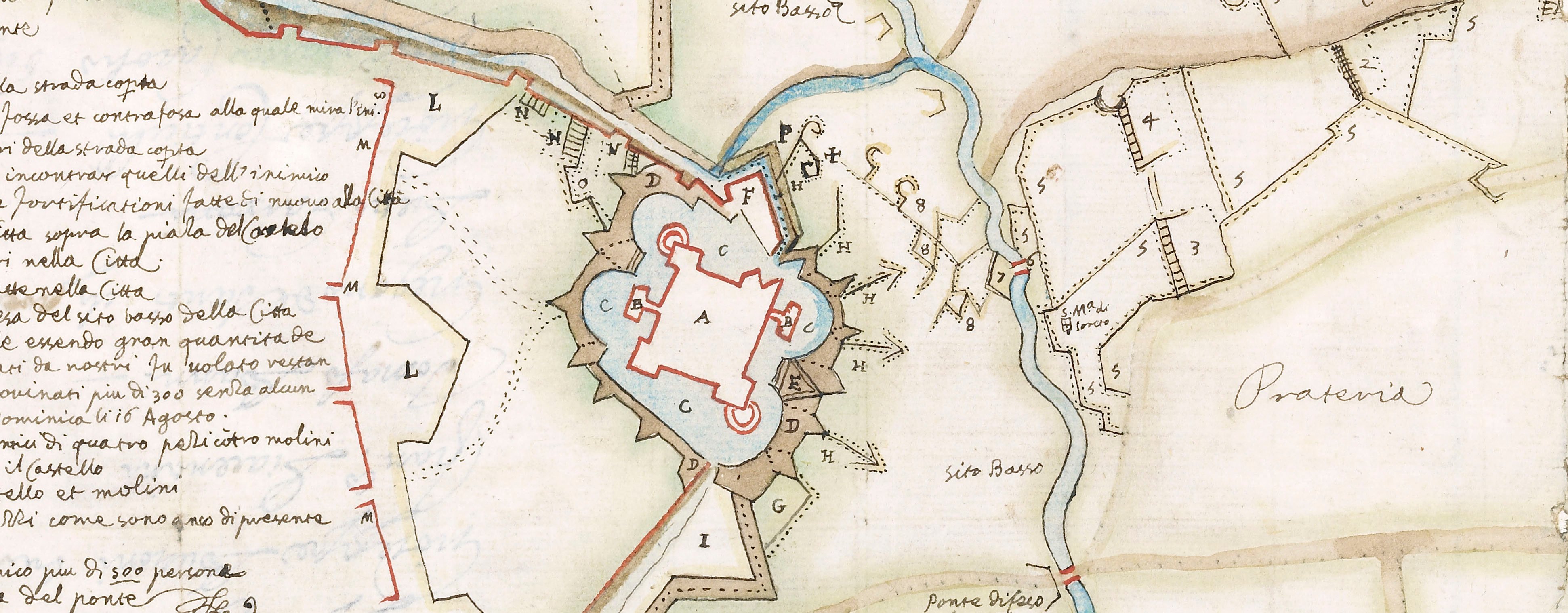
Map of Aire, 1641 (Aire-sur-la-Lys, Nord-Pas-de-Calais, France) 50°38'19"N 02°23'55"E
1641 or laterEtching and engraving; printed on paper; mounted on paper (Mount Type B) | 24.2 x 32.5 cm (image) | RCIN 723007
A map of Aire, defended by Charles de la Porte, duc de la Mailleraye (1602-8 February 1664) and besieged by the Spanish army of Cardinal Infante Ferdinand of Austria (May 1609 or 1610-9 November 1641) from 11 August resulting in the surrender of the garrison on 7 December 1641. Franco-Spanish War (1635-1659). Oriented with south-west to top (cardinal points).
This print appears to be a copy of RCIN 723006.
Giovanni Paolo Bianchi (fl. 1617-54) (etcher) [bottom right, below text:] Bianc. f. in Milano.
Subject(s)
Army-FranceArmy-SpainWatermark: None visible
Condition: five fold lines; pressure marks. Verso: some surface dirt along the fold lines
24.2 x 32.5 cm (image)
21.5 x 31.0 cm (neatline)
24.5 x 32.7 cm (sheet)
26.4 x 35.4 cm (mount)
Printed title:
AIRE, Assediata dall’ A.R. del / Prencipe Cardinale FERDINANDO AVS= / TRIACO, alli 12 Agosto 1641. [top right, in cartouche]
Additional text:
Dichiaratione della Città. [bottom, below map, a key, A-E, to the gates of the town and the trenches]; Dichiaratione del Campo di S.A.R. [Another key, 1-24, to the regiments, etc.]
Inset:
Profilo dell' Essercito. [bottom right, in rectangular panel] Size: 5.0 x 8.3 cm (image).
Annotations:
George III heading: Aire 12 August 1641.
Other annotations: none.
George III catalogue entry:
Aire Aire assediata dall A.R. del Principe Cardinale Ferdinando Austriaco, alli 12 Agosto 1641; da Bianchi.
Subject(s)
Aire-sur-la-Lys (Nord-Pas-de-Calais, France) 50°38'19"N 02°23'55"E
Bibliographic reference(s)
M. McDonald, The Print Collection of Cassiano dal Pozzo. Part II, Architecture, Topography and Military Maps, 3 vols, London 2019, cat. no. 3093
Page revisions
25 May 2024
Current version


