Contemporary maps and prints of the major battles and sieges from 1635 to 1658
A view of the siege of Arras, 1654 (Arras, Nord-Pas-de-Calais, France) 50°17'34"N 02°46'54"E
1654 or laterEtching; printed on paper; mounted on paper (Mount Type B); gilt edge, top | Scale: not stated [not drawn to scale] | RCIN 723106
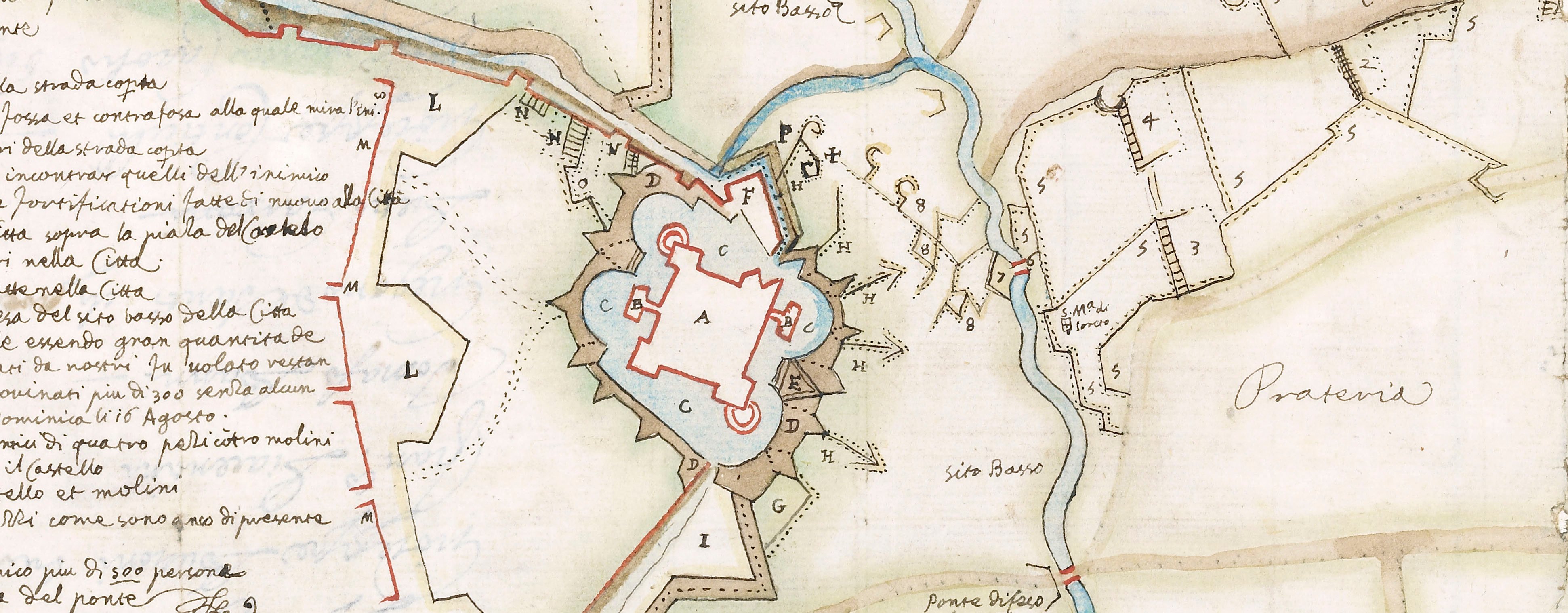
A high oblique view and map of Arras, besieged by the Spanish, commanded by Louis de Bourbon, prince de Condé (1621-86) from 3 July to 25 August 1654 who were defeated in battle on 25 August 1654 by a French relief army under Henri de la Tour d'Auvergne (1611-75) resulting in a French victory. Franco-Spanish War (1635-59). Oriented with north to top.
Anonymous (cartographer)
Subject(s)
Army-SpainWatermark: Map: kneeling man, holding a cross within a shield. Mount: none.
Condition: six fold lines. Verso: surface dirt and stains; pressure marks from the mounts of items which were kept below this map/print in a different collection are present
Scale: not stated [not drawn to scale]
22.1 x 28.7 cm (image and sheet)
cropped (platemark)
24.4 x 32.2 cm (mount)
Printed title:
ROTTA DATA DALLE ARMI CRISME / AL ESERCITO SPAGNOLO SOTTO / ARAS ALLI XXV AGOTO 1654 [top left]
Inset:
Profilo del doppio reunio delle linee della circonvalacione del Ca'mpo spagnle con poddi e fossi doysii / Assal[?] e guadagnio[to] dall' Armata Christianissima il di 25 Agosto 1654 [indistinct words] Re di frana.
Additional text:[bottom right, a key, A-E.]
Annotations:
George III heading: Arras 25 August 1654.
Other annotations: (Recto) [top left, black pencil under the figure ‘6’:] 7; [top left, black pencil, erased and partially legible:] [Arras] relieved by Turrenne; [bottom right, black pencil, cropped:] [?] II / [?] 4. (Verso) none.
George III catalogue entry:
Arras Rotta data dalli [sic] Armi Cris.me al Esercito Spagnolo sotto Arras [sic] alli 25 Ag.to 1654.
Subject(s)
Arras, Nord-Pas-de-Calais, France (50°17'34"N 02°46'54"E)
Bibliographic reference(s)
M. McDonald, The Print Collection of Cassiano dal Pozzo. Part II, Architecture, Topography and Military Maps, 3 vols, London 2019, cat. no. 3223
Page revisions
23 May 2024
Current version


