Contemporary maps and prints of the major battles and sieges from 1635 to 1658
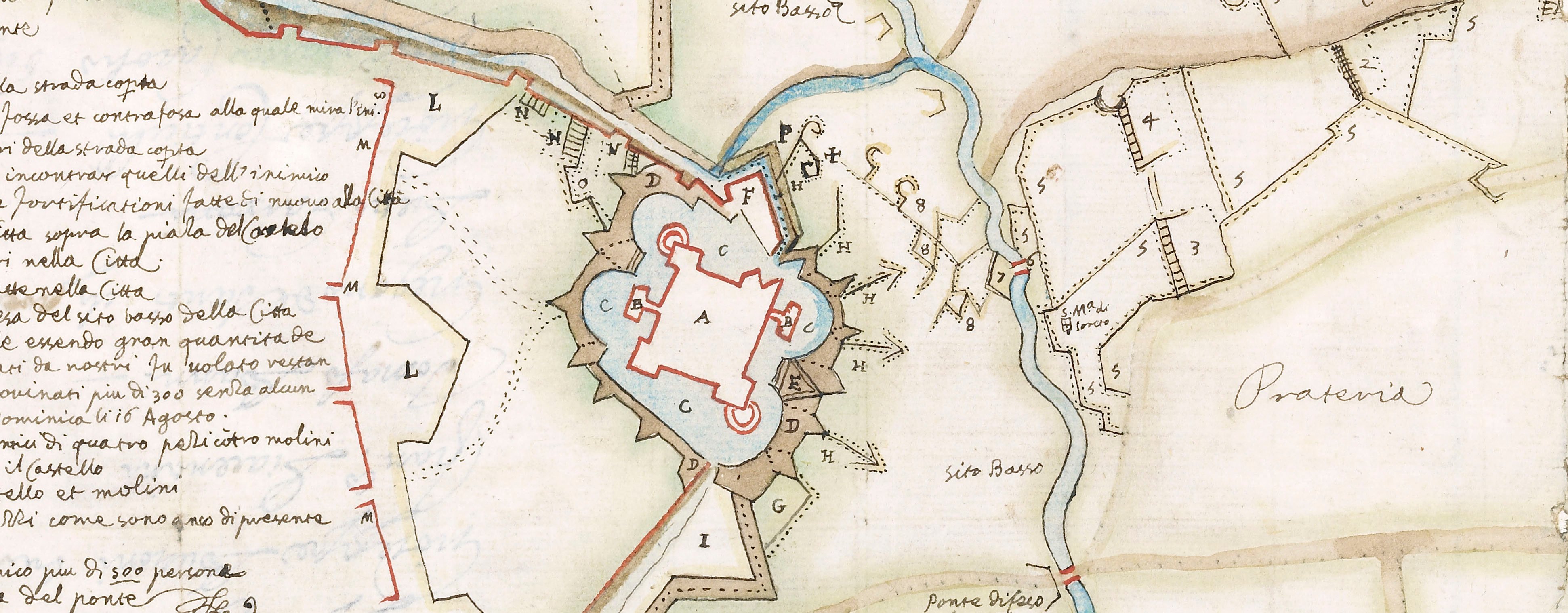
A map of the siege of Pavia, 1655 (Pavia, Lombardy, Italy) 45°11ʹ31ʺN 09°09ʹ33ʺE
1655 or laterEtching; printed on paper; laid down on paper; separate letterpress text, printed on paper and laid down on paper, pasted below map; map and text mounted on paper; gilt edges top and right | Scale not stated | RCIN 723108
A map of Pavia, besieged 24 July – approx.14 September 1655 for 52 days by a Franco-Savoyard army commanded by Thomas Francis of Savoy, Prince of Carignano (1596-1656) and Francesco I d'Este, Duke of Modena (1610-58); the siege was eventually broken by the Spanish commanded by the Governor of Milan, Luis de Benavides Carrillo de Toledo, Marquis of Caracena (1608-68). Franco-Spanish War (1635-59). Oriented with north-north-east to top.
A different engraving of this map, but identical in content, can be found at the Story of Pavia website (last accessed 25 October 2017). The letterpress title on this example is longer and there is no author/publisher.
Giuseppe Longhi (active 1655-1701) (?printmaker and publisher) [bottom right of print:] Ioseppe Lungi f’ in Bologna all Insegn di S. Paulo.
Domenico Barbieri (active 1646-63) (publisher)
Subject(s)
Army-FranceWatermark: Maltese cross with the letters V C. Text: indistinct. Backing paper: three circles, one above the other, cross within top circle, letters TG in the middle, indistinct design in bottom circle [similar to Heawood 253]. Mount none.
Condition: several fold lines; originally folded to small rectangle about 28.0 x 38.0 cm; worn and torn along some of the folds; repaired by being laid down on paper before being mounted; different quality paper to earlier mounts. Pressure marks from the mounts of items which were kept below this map/print in a different collection are present
Scale not stated
21.4 x 32.0 cm (sheet of map)
21.0 x 32.0 cm (neatline of map)
cropped (platemark)
10.3 x 35.0 cm (sheet of text)
50.5 x 39.9 cm (mount)
Printed title:
FORTIFICATIONE, ET ASSEDIO DI PAVIA / Fatta da’ Francesi, e difesa da’ Spagnuoli. La notte de’ 24. Luglio 1655. [on accompanying letterpress text]
Additional text:
[bottom, below map, letterpress text, a key to the numbers on the map, 1-60.]
Annotations:
George III heading: Pavia 24 July 1655.
Other annotations: (Recto) [bottom left, black pencil, erased and illegible]; [bottom left, black pencil, under the figure ‘8’:] 7. (Verso) none.
George III catalogue entry:
Pavia Fortificatione et Assedio di Pavia fatta da Francesi e difesa da Spagnoli la notte de 24 Luglio 1655: da Joseppe Lungi.
Subject(s)
Pavia, Lombardy, Italy (45°11ʹ31ʺN 09°09ʹ33ʺE)
Bibliographic reference(s)
M. McDonald, The Print Collection of Cassiano dal Pozzo. Part II, Architecture, Topography and Military Maps, 3 vols, London 2019, cat. no. 3225
Page revisions
25 May 2024
Current version


