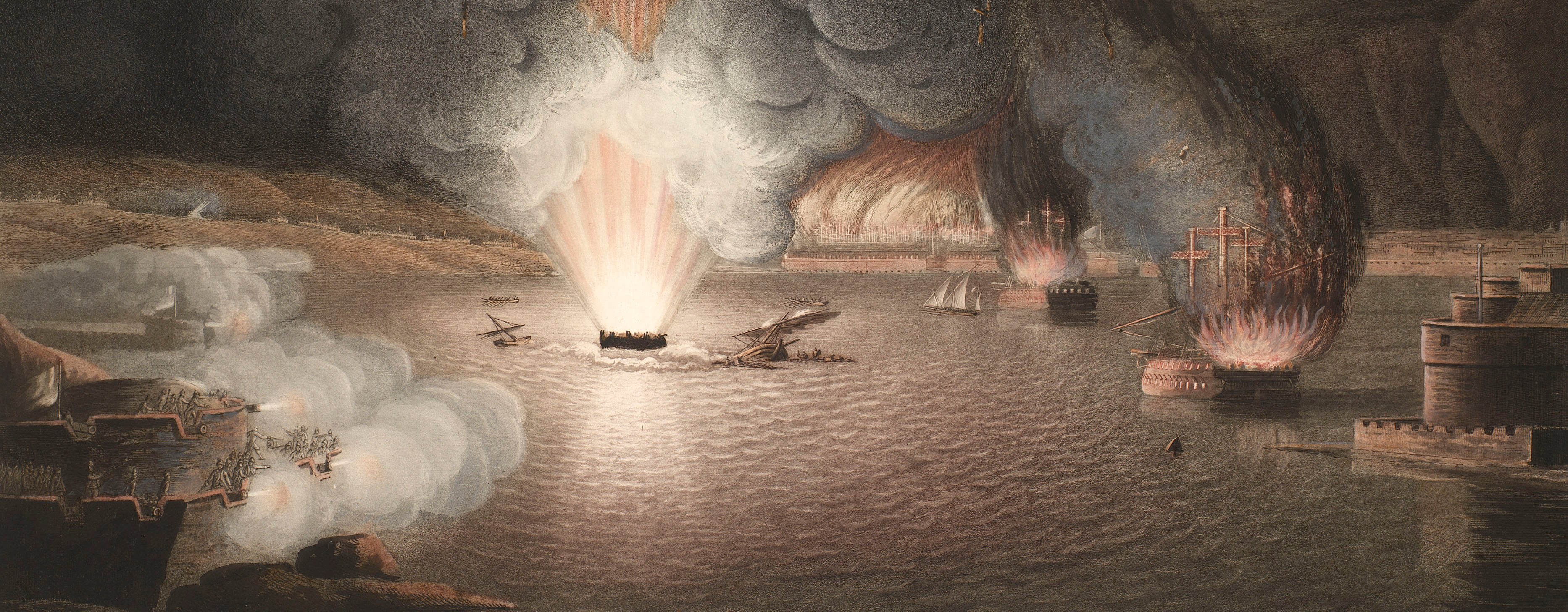
French Revolutionary Wars (1792-1802)
Maps and prints of naval engagements collected by George III during the decade of war
A map of Fishguard and Pembrokeshire, 1797 (Fishguard, Pembrokeshire, Wales, UK) 51°59'37"N 04°58'34"E
published 24 Feb 1798Etching and engraving; printed on paper | Scale: 1:12,000 approx. | RCIN 735053
Dedication: [bottom centre, below title:] To the Right Honorable Lord Cawdor / This Plate by Permission is humbly DEDICATED by HIS LORDSHIP'S most obedient & obliged Servant / THO.S PROPERT.
Additional text: [bottom left and bottom right, to each side of the title, a key, A-I, K-M, to the positions of the troops of the French and British forces at various times during the action. Bottom centre, between title and dedication:] NB The British Troops consisted of HIS LORDSHIP's Troop of Yeomanry Cavalry, a Detachment of the Cardigan Militia, Lieu.t Col.l Knox's Fencible Infantry, Captain Ackland's Fencible Infantry, / Lieutenants Meares and Perkins's Companies of Seamen with Artillery, besides several Hundred Gentlemen Volunteers and others who bravely step'd forward in the Defence of their / BELOVED KING and COUNTRY.
Condition: two fold lines; unevenly trimmed; two small tears to bottom edge; brown discolouration. Verso: surface dirt along folds.
Thomas Propert (active 1797) (surveyor and publisher) [bottom centre, following on from title:] delineated from actual Survey by Tho.s Propert Land Surv.yr
Robert Bowyer (bap.18 June 1758-4 June 1834) (publisher)
William Faden (1 July 1749-21 March 1836) (publisher)
John Cary (1754-1835) (publisher)
Robert Wilkinson (active 1779-1816) (publisher) [bottom centre, below dedication:] Published February 24,th 1798, by Tho.s Propert, Land Surveyor, Llanryan near Haverfordwest. M.r R. Bowyer Historic Gallery Pall Mall, London; M.r Faden, Charing Cross; M.r Cary, Strand; and M.r Wilkinson, Cornhill
Subject(s)
John Frederick Campbell, 1st Earl Cawdor (1790-1860)Army-FranceArmy-GBWatermark: Cropped: 17 LEPARD 94
Condition: two fold lines; unevenly trimmed; two small tears to bottom edge; brown discolouration. Verso: surface dirt along folds
Scale: 1:12,000 approx. Scale bar: Scale of one Mile [132 mm =].
57.7 x 73.5 cm (neatline)
65.1 x 73.7 cm (image)
trimmed (platemark)
65.2 x 76.1 cm (sheet)
Printed title:
A PLAN of that part of the COUNTY of PEMBROKE called PEN-CAER / and the Sea Coast adjacent, where between 1200 and 1400 French Troops under the Command of General Tate, / made a Descent on a Point of Land called GARN or CERRIG GWASTAD on the 22.nd Day / of Febr.y 1797, and the place of their Encampment, Also the place of their Surrender on the 24,th D.o to / HIS BRITANNICK MAJESTY'S FORCES, / under the Command of THE RIGHT HONOURABLE LORD CAWDOR. [bottom centre]
Dedication:
[bottom centre, below title:] To the Right Honorable Lord Cawdor / This Plate by Permission is humbly DEDICATED by HIS LORDSHIP'S most obedient & obliged Servant / THO.S PROPERT.
Additional text:[bottom left and bottom right, to each side of the title, a key, A-I, K-M, to the positions of the troops of the French and British forces at various times during the action. Bottom centre, between title and dedication:] NB The British Troops consisted of HIS LORDSHIP's Troop of Yeomanry Cavalry, a Detachment of the Cardigan Militia, Lieu.t Col.l Knox's Fencible Infantry, Captain Ackland's Fencible Infantry, / Lieutenants Meares and Perkins's Companies of Seamen with Artillery, besides several Hundred Gentlemen Volunteers and others who bravely step'd forward in the Defence of their / BELOVED KING and COUNTRY.
Annotations:
George III heading: Pembroke 22-24 Feb. 1797.
Other annotations: (Recto) none. (Verso) [bottom, right of centre, black pencil, erased, partly legible:] XVIII/[?]
George III catalogue entry:
Pembroke A Plan of that part of the County of Pembroke called Pen Caer and the Sea Coast adjacent, where between 1200 and 1400 French Troops under the command of General Tate made a descent on a point of land called Garn or Cerig Gwastad on the 22.d of Feb.y 1797; and the place of their Encampment: also the place of their surrender on the 24.th D.o to His Britannick Majesty's Forces commanded by Lord Cawdor: by Tho.s Propert, 1798.
Subject(s)
Fishguard, Pembrokeshire, Wales, UK (51°59'37"N 04°58'34"E)
Page revisions
3 November 2024
Current version


